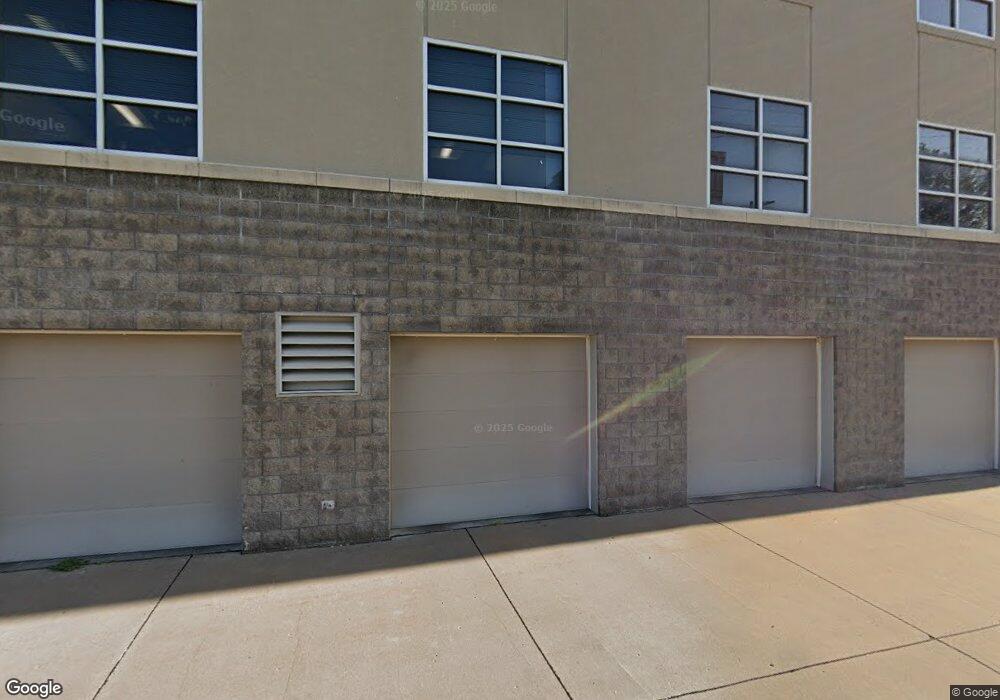
1805 State St Unit 1st F Bettendorf, IA 52722
Downtown Bettendorf NeighborhoodEstimated Value: $298,000
--
Bed
--
Bath
17,496
Sq Ft
$17/Sq Ft
Est. Value
About This Home
This home is located at 1805 State St Unit 1st F, Bettendorf, IA 52722 and is currently priced at $298,000, approximately $17 per square foot. 1805 State St Unit 1st F is a home located in Scott County with nearby schools including Neil Armstrong Elementary School, Bettendorf Middle School, and Bettendorf High School.
Ownership History
Date
Name
Owned For
Owner Type
Purchase Details
Closed on
Jul 13, 2022
Sold by
State Street Redevelopment Ii Llc
Bought by
1717 State Street Llc
Current Estimated Value
Purchase Details
Closed on
Nov 30, 2017
Sold by
J & L Richrd Properties Llc
Bought by
Grd Burieson Llc
Purchase Details
Closed on
Jul 19, 2013
Sold by
State Street Redevelopment Llc
Bought by
State Street Redevelopment Iii Llc
Create a Home Valuation Report for This Property
The Home Valuation Report is an in-depth analysis detailing your home's value as well as a comparison with similar homes in the area
Home Values in the Area
Average Home Value in this Area
Purchase History
| Date | Buyer | Sale Price | Title Company |
|---|---|---|---|
| 1717 State Street Llc | $2,793,000 | -- | |
| Grd Burieson Llc | $350,000 | None Available | |
| State Street Redevelopment Iii Llc | -- | None Available |
Source: Public Records
Tax History Compared to Growth
Tax History
| Year | Tax Paid | Tax Assessment Tax Assessment Total Assessment is a certain percentage of the fair market value that is determined by local assessors to be the total taxable value of land and additions on the property. | Land | Improvement |
|---|---|---|---|---|
| 2025 | $100,232 | $3,223,800 | $388,500 | $2,835,300 |
| 2024 | $101,612 | $3,220,700 | $345,300 | $2,875,400 |
| 2023 | $83,132 | $3,220,700 | $345,300 | $2,875,400 |
| 2022 | $82,348 | $2,701,220 | $256,130 | $2,445,090 |
| 2021 | $82,348 | $2,701,220 | $256,130 | $2,445,090 |
| 2020 | $77,812 | $2,549,740 | $256,130 | $2,293,610 |
| 2019 | $71,304 | $2,507,060 | $213,450 | $2,293,610 |
| 2018 | $72,980 | $2,507,060 | $213,450 | $2,293,610 |
| 2017 | $71,532 | $2,507,060 | $213,450 | $2,293,610 |
| 2016 | $71,412 | $0 | $0 | $0 |
| 2015 | $71,412 | $0 | $0 | $0 |
| 2014 | $68,078 | $0 | $0 | $0 |
| 2013 | $73,482 | $0 | $0 | $0 |
| 2012 | -- | $2,450,420 | $234,790 | $2,215,630 |
Source: Public Records
Map
Nearby Homes
- 2007 Mississippi Blvd
- 452 21st St
- 605 16th St
- 904 17th St
- 2211 Central Ave
- 1910 Bellevue Ave
- 1037 Holmes St
- 358 Madison Dr
- 2340 Oak St
- 2505 Cody St
- 1834 Anderson Ct
- 906 28th 1 2 St
- 821 Ten Plus St
- 704 River Dr
- 5 Riverview Park Dr
- 0 River Dr Unit RMAQC4266838
- 1525 21st St
- 740 Mississippi Blvd
- 1316 Glencoe Ln
- 1424 23rd St
- 1805 State St
- 1805 State St Unit 2nd F
- 1749 State St
- 1737 State St
- 1741 State St
- 1733 State St
- 1810 State St Unit 1
- 1810 State St
- 1810 1/2 State St Unit 3
- 1810 1/2 State St
- 1729 State St
- 1804 State St
- 1727 State St
- 1725 State St
- 1717 State St
- 1815 Grant St
- 1716 State St
- 1900 State St
- 1900 State St Unit 1
- 1900 State St Unit 2