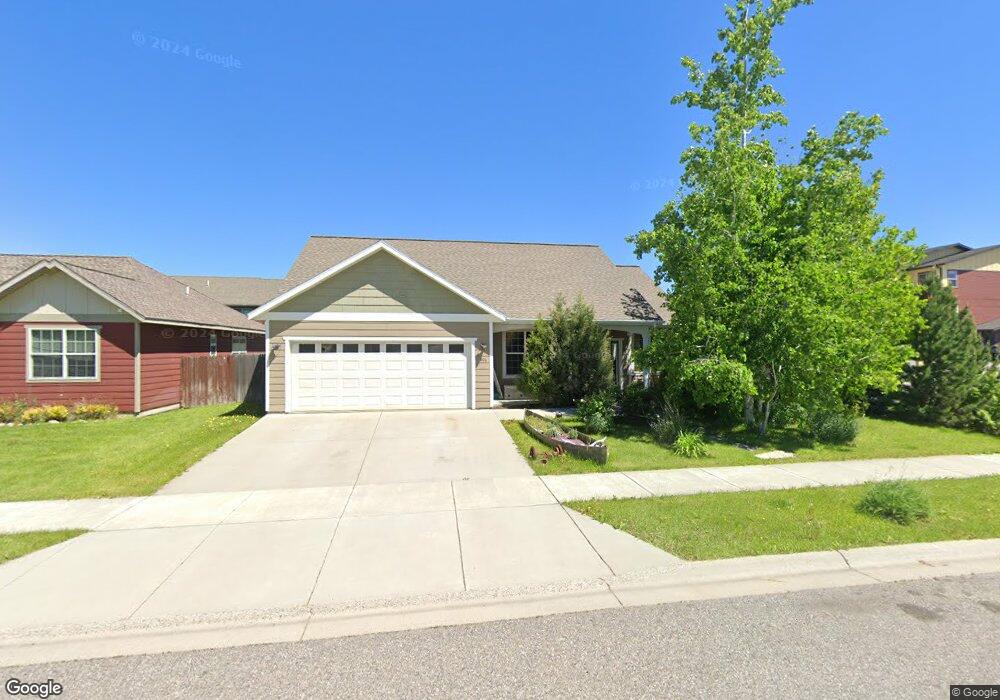
1806 Brisk Ct Bozeman, MT 59718
North Bozeman NeighborhoodEstimated Value: $617,000 - $711,000
3
Beds
2
Baths
1,537
Sq Ft
$419/Sq Ft
Est. Value
About This Home
This home is located at 1806 Brisk Ct, Bozeman, MT 59718 and is currently estimated at $643,760, approximately $418 per square foot. 1806 Brisk Ct is a home located in Gallatin County with nearby schools including Emily Dickinson School, Chief Joseph Middle School, and Gallatin High School.
Ownership History
Date
Name
Owned For
Owner Type
Purchase Details
Closed on
Mar 22, 2023
Sold by
Montana Home Llc
Bought by
Retmier Sean
Current Estimated Value
Purchase Details
Closed on
Nov 6, 2009
Sold by
Cook Gene E
Bought by
Retmier James M
Home Financials for this Owner
Home Financials are based on the most recent Mortgage that was taken out on this home.
Original Mortgage
$183,950
Interest Rate
4.99%
Mortgage Type
New Conventional
Create a Home Valuation Report for This Property
The Home Valuation Report is an in-depth analysis detailing your home's value as well as a comparison with similar homes in the area
Home Values in the Area
Average Home Value in this Area
Purchase History
| Date | Buyer | Sale Price | Title Company |
|---|---|---|---|
| Retmier Sean | -- | -- | |
| Retmier James M | -- | American Land Title Company |
Source: Public Records
Mortgage History
| Date | Status | Borrower | Loan Amount |
|---|---|---|---|
| Previous Owner | Retmier James M | $183,950 |
Source: Public Records
Tax History Compared to Growth
Tax History
| Year | Tax Paid | Tax Assessment Tax Assessment Total Assessment is a certain percentage of the fair market value that is determined by local assessors to be the total taxable value of land and additions on the property. | Land | Improvement |
|---|---|---|---|---|
| 2025 | $2,905 | $642,700 | $0 | $0 |
| 2024 | $4,088 | $614,200 | $0 | $0 |
| 2023 | $3,956 | $614,200 | $0 | $0 |
| 2022 | $2,893 | $377,300 | $0 | $0 |
| 2021 | $3,192 | $377,300 | $0 | $0 |
| 2020 | $2,810 | $328,700 | $0 | $0 |
| 2019 | $2,874 | $328,700 | $0 | $0 |
| 2018 | $2,615 | $277,100 | $0 | $0 |
| 2017 | $2,445 | $277,100 | $0 | $0 |
| 2016 | $2,306 | $244,200 | $0 | $0 |
| 2015 | $2,309 | $244,200 | $0 | $0 |
| 2014 | $2,184 | $135,998 | $0 | $0 |
Source: Public Records
Map
Nearby Homes
- 2232 Baxter Lane Units 1-12
- 2440 Tschache Ln Unit 302
- 2440 Tschache Ln Unit 204
- 1295 Thomas Dr Unit 203
- 2236 Baxter Ln Unit 5
- 1585 N 25th Ave Unit A
- 2720 Sartain St Unit 202
- 2240 Baxter Ln Unit 6
- 1242 Thomas Dr
- 2050 Baxter Ln
- 1109 & 1143 Thomas Dr
- 1372 Zephyr Way
- 1140 N 27th Ave Unit 2
- 3480 Lemhi Trail Dr
- 1205 New Holland Dr
- 1142 New Holland Dr
- TBD Simmental & Baxter
- 1120 Brentwood Ave
- 911 N Aster Ave
- 2926 Warbler Way Unit B