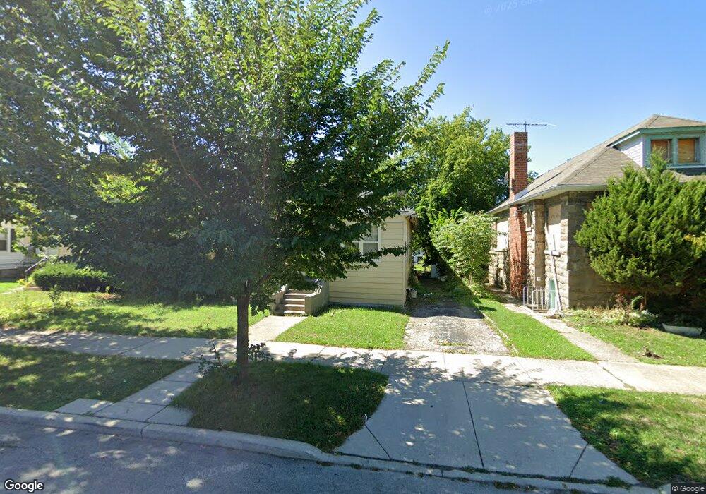
1806 Hovland Ct Evanston, IL 60201
West Evanston NeighborhoodEstimated Value: $310,000 - $333,249
2
Beds
1
Bath
1,056
Sq Ft
$307/Sq Ft
Est. Value
About This Home
This home is located at 1806 Hovland Ct, Evanston, IL 60201 and is currently estimated at $324,062, approximately $306 per square foot. 1806 Hovland Ct is a home located in Cook County with nearby schools including Lincolnwood Elementary School, Haven Middle School, and Evanston Township High School.
Ownership History
Date
Name
Owned For
Owner Type
Purchase Details
Closed on
Aug 18, 1995
Sold by
Smith Sydney R and Smith Hazel A
Bought by
Bonner Beverly C
Current Estimated Value
Home Financials for this Owner
Home Financials are based on the most recent Mortgage that was taken out on this home.
Original Mortgage
$88,950
Interest Rate
7.64%
Mortgage Type
FHA
Create a Home Valuation Report for This Property
The Home Valuation Report is an in-depth analysis detailing your home's value as well as a comparison with similar homes in the area
Home Values in the Area
Average Home Value in this Area
Purchase History
| Date | Buyer | Sale Price | Title Company |
|---|---|---|---|
| Bonner Beverly C | $90,000 | -- |
Source: Public Records
Mortgage History
| Date | Status | Borrower | Loan Amount |
|---|---|---|---|
| Closed | Bonner Beverly C | $88,950 |
Source: Public Records
Tax History
| Year | Tax Paid | Tax Assessment Tax Assessment Total Assessment is a certain percentage of the fair market value that is determined by local assessors to be the total taxable value of land and additions on the property. | Land | Improvement |
|---|---|---|---|---|
| 2025 | $1,021 | $33,000 | $8,700 | $24,300 |
| 2024 | $1,021 | $24,000 | $7,200 | $16,800 |
| 2023 | $4,145 | $24,000 | $7,200 | $16,800 |
| 2022 | $4,145 | $24,000 | $7,200 | $16,800 |
| 2021 | $1,125 | $17,329 | $6,600 | $10,729 |
| 2020 | $1,034 | $18,481 | $6,600 | $11,881 |
| 2019 | $1,022 | $21,390 | $6,600 | $14,790 |
| 2018 | $1,198 | $15,277 | $5,400 | $9,877 |
| 2017 | $2,236 | $15,277 | $5,400 | $9,877 |
| 2016 | $3,234 | $15,277 | $5,400 | $9,877 |
| 2015 | $2,384 | $11,514 | $4,650 | $6,864 |
| 2014 | $2,736 | $12,869 | $4,650 | $8,219 |
| 2013 | $2,657 | $12,869 | $4,650 | $8,219 |
Source: Public Records
Map
Nearby Homes
- 1811 Hartrey Ave
- 1836 Hartrey Ave
- 2115 Emerson St
- 1813 Dodge Ave
- 2208 Foster St
- 1460 Dewey Ave
- 1578 Wesley Ave
- 1735 Asbury Ave
- 1321 Pitner Ave Unit A
- 1915 Grant St
- 2017 Jackson Ave
- 1228 Emerson St Unit 304
- 1834 Ridge Ave Unit 102
- 1915 - 2 Grant St
- 9337 Lincolnwood Dr
- 9433 Lincolnwood Dr
- 2701 Noyes St
- 2043 Asbury Ave
- 1111 Church St Unit 505
- 1585 Ridge Ave Unit 506
- 1802 Hovland Ct
- 1802 Hovland Ct Unit 1
- 1802 Hovland Ct Unit 2
- 1808 Hovland Ct
- 1812 Hovland Ct
- 1746 Hovland Ct
- 1746 Hovland Ct
- 1746 Hovland Ct
- 1805 Grey Ave
- 1816 Hovland Ct
- 1816 Hovland Ct
- 1807 Grey Ave
- 1807 Grey Ave
- 1803 Grey Ave
- 1811 Grey Ave
- 1801 Grey Ave
- 1818 Hovland Ct
- 1807 Hovland Ct Unit S
- 1815 Grey Ave
- 1805 Hovland Ct
Your Personal Tour Guide
Ask me questions while you tour the home.