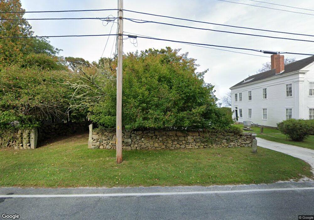
1806 Main Rd Westport, MA 02790
Westport Point NeighborhoodEstimated Value: $1,341,000 - $1,432,780
--
Bed
--
Bath
2,860
Sq Ft
$485/Sq Ft
Est. Value
About This Home
This home is located at 1806 Main Rd, Westport, MA 02790 and is currently estimated at $1,386,890, approximately $484 per square foot. 1806 Main Rd is a home with nearby schools including Alice A. Macomber Primary School, Westport Elementary School, and Westport Middle-High School.
Ownership History
Date
Name
Owned For
Owner Type
Purchase Details
Closed on
Dec 23, 1993
Sold by
Palmer Raymond C
Bought by
Jackson C Edward
Current Estimated Value
Home Financials for this Owner
Home Financials are based on the most recent Mortgage that was taken out on this home.
Original Mortgage
$193,600
Interest Rate
7%
Mortgage Type
Purchase Money Mortgage
Create a Home Valuation Report for This Property
The Home Valuation Report is an in-depth analysis detailing your home's value as well as a comparison with similar homes in the area
Home Values in the Area
Average Home Value in this Area
Purchase History
| Date | Buyer | Sale Price | Title Company |
|---|---|---|---|
| Jackson C Edward | $108,250 | -- | |
| Jackson C Edward | $108,250 | -- | |
| Jackson C Edward | $108,250 | -- |
Source: Public Records
Mortgage History
| Date | Status | Borrower | Loan Amount |
|---|---|---|---|
| Open | Jackson C Edward | $75,000 | |
| Closed | Jackson C Edward | $193,600 |
Source: Public Records
Tax History Compared to Growth
Tax History
| Year | Tax Paid | Tax Assessment Tax Assessment Total Assessment is a certain percentage of the fair market value that is determined by local assessors to be the total taxable value of land and additions on the property. | Land | Improvement |
|---|---|---|---|---|
| 2025 | $8,553 | $1,148,100 | $790,800 | $357,300 |
| 2024 | $8,143 | $1,053,400 | $698,400 | $355,000 |
| 2023 | $7,690 | $942,400 | $629,200 | $313,200 |
| 2022 | $6,737 | $842,800 | $563,000 | $279,800 |
| 2021 | $3,258 | $781,500 | $497,500 | $284,000 |
| 2020 | $3,093 | $765,300 | $481,300 | $284,000 |
| 2019 | $3,027 | $743,100 | $459,100 | $284,000 |
| 2018 | $2,805 | $700,600 | $416,500 | $284,100 |
| 2017 | $2,522 | $694,000 | $416,500 | $277,500 |
| 2016 | $5,433 | $686,800 | $416,500 | $270,300 |
| 2015 | $5,271 | $664,700 | $429,000 | $235,700 |
Source: Public Records
Map
Nearby Homes
- 1881 Main Rd
- 1702J Drift Rd
- 1702 Drift Rd
- 1580 Main Rd
- 0 Reed Rd (Ss)
- 1346 Main Rd Unit B
- 99 Sylvia Ln
- 19 Seabury Ln
- 189 Brayton Point Rd
- 225 Hixbridge Rd
- 255 John Dyer Rd
- 920 Drift Rd
- 304 Brayton Point Rd
- 17 Quail Trail
- 245 John Dyer Rd
- 238-242 E Beach Rd
- Lot 2 Horseneck Rd
- 101 Adamsville Rd
- 837 Main Road & Lot 2
- 837 Main Rd
- 1813 Main Rd
- 1798 Main Rd
- 1814 Main Rd
- 1815 Main Rd
- 1809 Main Rd Unit WINTER RENT
- 1809 Main Rd
- 1809 Main Rd Unit A
- 1818 Main Rd
- 1819 Main Rd
- 1824 Main Rd
- 1823 Main Rd
- 1779 Main Rd Unit 2
- 1779 Main Rd
- 1780 Main Rd
- 1831 Main Rd
- 1 Fairview Ave
- 0 Scotch Pine Ln Unit 72321069
- 0 Scotch Pine Ln Unit 71595856
- 0 Scotch Pine Ln Unit 71857539
- 0 Scotch Pine Ln Unit 72409988