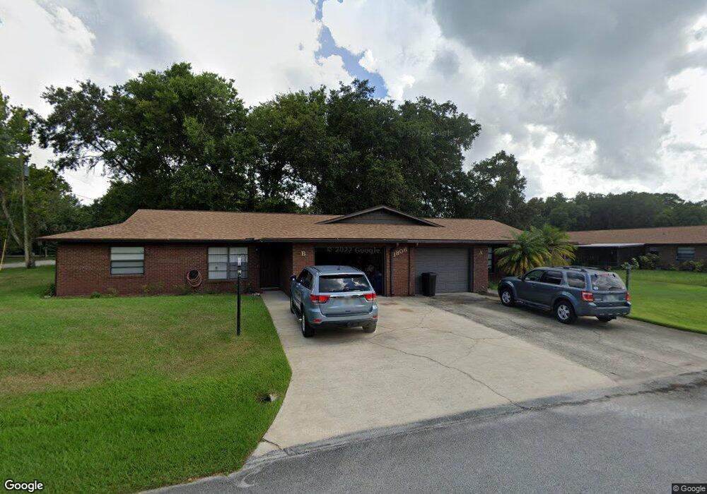
1806B Enterprise Ave Unit 20 New Smyrna Beach, FL 32168
Fairway NeighborhoodEstimated Value: $201,000 - $228,000
2
Beds
2
Baths
1,186
Sq Ft
$181/Sq Ft
Est. Value
About This Home
This home is located at 1806B Enterprise Ave Unit 20, New Smyrna Beach, FL 32168 and is currently estimated at $214,089, approximately $180 per square foot. 1806B Enterprise Ave Unit 20 is a home located in Volusia County with nearby schools including Read-Pattillo Elementary School, New Smyrna Beach Middle School, and New Smyrna Beach High School.
Ownership History
Date
Name
Owned For
Owner Type
Purchase Details
Closed on
May 20, 2002
Sold by
Buroker Robert A and Buroker Susan R
Bought by
Spletzer Karl
Current Estimated Value
Home Financials for this Owner
Home Financials are based on the most recent Mortgage that was taken out on this home.
Original Mortgage
$43,200
Outstanding Balance
$18,229
Interest Rate
6.92%
Mortgage Type
Purchase Money Mortgage
Estimated Equity
$195,860
Purchase Details
Closed on
Jan 15, 1992
Bought by
Spletzer Karl
Purchase Details
Closed on
May 15, 1991
Bought by
Spletzer Karl
Purchase Details
Closed on
Apr 15, 1991
Bought by
Spletzer Karl
Purchase Details
Closed on
Apr 15, 1987
Bought by
Spletzer Karl
Create a Home Valuation Report for This Property
The Home Valuation Report is an in-depth analysis detailing your home's value as well as a comparison with similar homes in the area
Home Values in the Area
Average Home Value in this Area
Purchase History
| Date | Buyer | Sale Price | Title Company |
|---|---|---|---|
| Spletzer Karl | $54,000 | -- | |
| Spletzer Karl | $46,000 | -- | |
| Spletzer Karl | $40,000 | -- | |
| Spletzer Karl | $35,600 | -- | |
| Spletzer Karl | $45,000 | -- |
Source: Public Records
Mortgage History
| Date | Status | Borrower | Loan Amount |
|---|---|---|---|
| Open | Spletzer Karl | $43,200 |
Source: Public Records
Tax History Compared to Growth
Tax History
| Year | Tax Paid | Tax Assessment Tax Assessment Total Assessment is a certain percentage of the fair market value that is determined by local assessors to be the total taxable value of land and additions on the property. | Land | Improvement |
|---|---|---|---|---|
| 2025 | $2,612 | $201,724 | $42,400 | $159,324 |
| 2024 | $2,612 | $202,220 | $42,400 | $159,820 |
| 2023 | $2,612 | $209,306 | $42,700 | $166,606 |
| 2022 | $2,212 | $162,211 | $33,300 | $128,911 |
| 2021 | $1,920 | $113,073 | $22,600 | $90,473 |
| 2020 | $1,760 | $103,129 | $21,900 | $81,229 |
| 2019 | $1,770 | $110,804 | $32,700 | $78,104 |
| 2018 | $1,477 | $73,509 | $15,400 | $58,109 |
| 2017 | $1,569 | $85,312 | $17,000 | $68,312 |
| 2016 | $1,467 | $68,781 | $0 | $0 |
| 2015 | $1,411 | $65,194 | $0 | $0 |
| 2014 | $1,282 | $55,545 | $0 | $0 |
Source: Public Records
Map
Nearby Homes
- 1818 Enterprise Ave Unit B
- 1812 Enterprise Ave Unit B
- 1910 Enterprise Ave Unit 17
- 701 West St
- 707 Hamilton St
- 2005 Sunny Ln
- 0 Spruce St
- 293 Newcomb St
- 534 Mill Run Dr
- 163 Fox Fire Cir
- 265 Newcomb St
- 1219 Wayne Ave
- 599 Glendevon Dr
- 211 Mourning Dove Dr
- 181 Fox Fire Cir
- 1227 Wayne Ave
- 731 Pine Shores Cir
- 798 Fairway Dr
- 714 Fox Tail Ct
- 241 Quail Hollow Dr
- 1806 Enterprise Ave Unit A
- 1806 Enterprise Ave Unit B
- 1806A Enterprise Ave Unit 19
- 1804 Enterprise Ave Unit 1804A
- 1804 Enterprise Ave Unit 1804B
- 1804A Enterprise Ave Unit 21
- 1804 Enterprise Ave Unit A
- 1804 Enterprise Ave Unit B
- 1808 Enterprise Ave Unit 18
- 1808B Enterprise Ave Unit 18
- 400 West St
- 119 West Loop
- 112 West Loop
- 1808A Enterprise Ave Unit 17
- 405 West St
- 1808 Enterprise Ave Unit 1808A
- 1808 Enterprise Ave Unit 18
- 1808 Enterprise Ave Unit B
- 1808 Enterprise Ave
- 1808 Enterprise Ave Unit 17