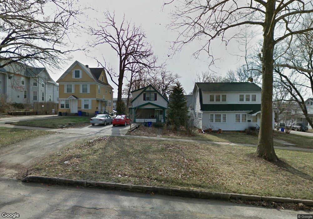
1807 B Ave NE Cedar Rapids, IA 52402
Mound View NeighborhoodEstimated Value: $81,000 - $142,000
2
Beds
1
Bath
1,193
Sq Ft
$84/Sq Ft
Est. Value
About This Home
This home is located at 1807 B Ave NE, Cedar Rapids, IA 52402 and is currently estimated at $99,918, approximately $83 per square foot. 1807 B Ave NE is a home located in Linn County with nearby schools including Arthur Elementary School, Franklin Middle School, and George Washington High School.
Ownership History
Date
Name
Owned For
Owner Type
Purchase Details
Closed on
Jan 31, 2025
Sold by
Pg Home Buyers Llc
Bought by
Neighbor Adam
Current Estimated Value
Purchase Details
Closed on
Dec 13, 2007
Sold by
Sullivan Gerry G and Sullivan Helen R
Bought by
Crpm Llc
Home Financials for this Owner
Home Financials are based on the most recent Mortgage that was taken out on this home.
Original Mortgage
$58,360
Interest Rate
6.27%
Mortgage Type
Unknown
Create a Home Valuation Report for This Property
The Home Valuation Report is an in-depth analysis detailing your home's value as well as a comparison with similar homes in the area
Home Values in the Area
Average Home Value in this Area
Purchase History
| Date | Buyer | Sale Price | Title Company |
|---|---|---|---|
| Neighbor Adam | $60,000 | None Listed On Document | |
| Pg Home Buyers Llc | $35,000 | None Listed On Document | |
| Crpm Llc | $49,000 | None Available |
Source: Public Records
Mortgage History
| Date | Status | Borrower | Loan Amount |
|---|---|---|---|
| Previous Owner | Crpm Llc | $58,360 |
Source: Public Records
Tax History Compared to Growth
Tax History
| Year | Tax Paid | Tax Assessment Tax Assessment Total Assessment is a certain percentage of the fair market value that is determined by local assessors to be the total taxable value of land and additions on the property. | Land | Improvement |
|---|---|---|---|---|
| 2025 | $1,386 | $87,200 | $29,900 | $57,300 |
| 2024 | $1,612 | $87,300 | $27,600 | $59,700 |
| 2023 | $1,612 | $78,300 | $23,000 | $55,300 |
| 2022 | $1,546 | $76,400 | $23,000 | $53,400 |
| 2021 | $1,632 | $74,600 | $23,000 | $51,600 |
| 2020 | $1,632 | $74,000 | $23,000 | $51,000 |
| 2019 | $1,412 | $65,500 | $18,400 | $47,100 |
| 2018 | $1,200 | $65,500 | $18,400 | $47,100 |
| 2017 | $1,394 | $58,600 | $18,400 | $40,200 |
| 2016 | $1,394 | $65,600 | $18,400 | $47,200 |
| 2015 | $1,462 | $68,670 | $18,400 | $50,270 |
| 2014 | $1,462 | $68,670 | $18,400 | $50,270 |
| 2013 | $1,430 | $68,670 | $18,400 | $50,270 |
Source: Public Records
Map
Nearby Homes
- 1746 B Ave NE
- 1748 A Ave NE
- 1735 C Ave NE
- 1719 C Ave NE
- 1703 A Ave NE
- 8821 Zeppelin Ave NE
- 116 17th St NE
- 517 18th St NE
- 1815 E Ave NE
- 1608 B Ave NE
- 1857 E Ave NE
- 1613 A Ave NE
- 1628 2nd Ave SE
- 1831 2nd Ave SE
- 420 16th St NE
- 1551 C Ave NE
- 1813 3rd Ave SE
- 210 16th St SE
- 1953 1st Ave E Unit 301
- 1953 1st Ave SE Unit 301