1807 Kolb Farm Cir SW Unit 22 Marietta, GA 30008
Southwestern Marietta NeighborhoodEstimated Value: $301,000 - $377,000
3
Beds
2
Baths
1,423
Sq Ft
$241/Sq Ft
Est. Value
About This Home
This home is located at 1807 Kolb Farm Cir SW Unit 22, Marietta, GA 30008 and is currently estimated at $342,522, approximately $240 per square foot. 1807 Kolb Farm Cir SW Unit 22 is a home located in Cobb County with nearby schools including Dowell Elementary School, Smitha Middle School, and Osborne High School.
Ownership History
Date
Name
Owned For
Owner Type
Purchase Details
Closed on
Apr 12, 2013
Sold by
Powell James Richard
Bought by
Scarbrough D Ellis
Current Estimated Value
Purchase Details
Closed on
Jun 21, 2004
Sold by
Trinkle Edwin R
Bought by
Powell James R and Powell Karen
Home Financials for this Owner
Home Financials are based on the most recent Mortgage that was taken out on this home.
Original Mortgage
$24,750
Interest Rate
6.25%
Mortgage Type
Stand Alone Refi Refinance Of Original Loan
Purchase Details
Closed on
Jan 14, 2000
Sold by
Harvest Development Group Inc
Bought by
Trinkle Edwin R
Home Financials for this Owner
Home Financials are based on the most recent Mortgage that was taken out on this home.
Original Mortgage
$130,320
Interest Rate
7.9%
Mortgage Type
New Conventional
Create a Home Valuation Report for This Property
The Home Valuation Report is an in-depth analysis detailing your home's value as well as a comparison with similar homes in the area
Home Values in the Area
Average Home Value in this Area
Purchase History
| Date | Buyer | Sale Price | Title Company |
|---|---|---|---|
| Scarbrough D Ellis | $150,000 | -- | |
| Powell James R | $165,000 | -- | |
| Trinkle Edwin R | $162,900 | -- |
Source: Public Records
Mortgage History
| Date | Status | Borrower | Loan Amount |
|---|---|---|---|
| Previous Owner | Powell James R | $24,750 | |
| Previous Owner | Trinkle Edwin R | $130,320 |
Source: Public Records
Tax History Compared to Growth
Tax History
| Year | Tax Paid | Tax Assessment Tax Assessment Total Assessment is a certain percentage of the fair market value that is determined by local assessors to be the total taxable value of land and additions on the property. | Land | Improvement |
|---|---|---|---|---|
| 2025 | $755 | $136,700 | $28,000 | $108,700 |
| 2024 | $758 | $136,700 | $28,000 | $108,700 |
| 2023 | $552 | $136,700 | $28,000 | $108,700 |
| 2022 | $645 | $98,832 | $12,600 | $86,232 |
| 2021 | $568 | $73,316 | $12,600 | $60,716 |
| 2020 | $568 | $73,316 | $12,600 | $60,716 |
| 2019 | $539 | $63,524 | $12,600 | $50,924 |
| 2018 | $539 | $63,524 | $12,600 | $50,924 |
| 2017 | $447 | $54,324 | $12,600 | $41,724 |
| 2016 | $438 | $51,272 | $12,600 | $38,672 |
| 2015 | $468 | $51,272 | $12,600 | $38,672 |
| 2014 | $476 | $51,272 | $0 | $0 |
Source: Public Records
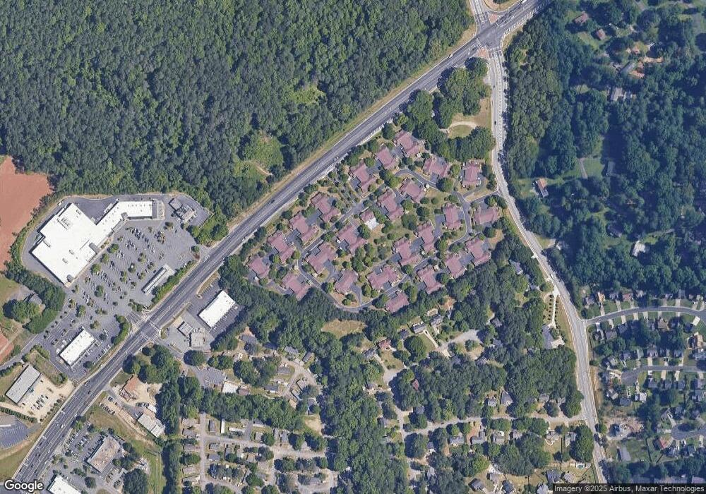
Map
Nearby Homes
- 1830 Kolb Farm Cir SW Unit 7
- 1927 Kolb Farm Cir SW Unit 90
- 1906 Kolb Farm Cir SW Unit 51
- 1951 Bergerac Ct SW
- 1481 Chapel Hill Ln SW
- 1472 Chapel Hill Ln SW
- 1784 Hammond Woods Cir SW
- 1799 Hammond Woods Cir SW
- 1830 MacLand Rd SW
- 1226 Cumberland Creek Place SW
- 2002 MacLand Square Dr Unit 1
- 1533 Fallen Leaf Dr SW
- 2028 MacLand Square Dr Unit 4
- 1946 MacLand Rd SW
- 1681 Hammond Woods Cir SW
- 1646 Desford Ct SW
- 1589 Hammond Woods Cir SW
- 1952 Freestone Way
- Monteluce Plan at Freestone Station
- Hillside Plan at Freestone Station
- 1801 Kolb Farm Cir SW Unit 22
- 1805 Kolb Farm Cir SW Unit 22
- 1803 Kolb Farm Cir SW Unit 22
- 1809 Kolb Farm Cir SW Unit 21
- 1811 Kolb Farm Cir SW Unit 21
- 1841 Kolb Farm Cir SW
- 1841 Kolb Farm Cir SW Unit 80
- 1847 Kolb Farm Cir SW Unit 77
- 1849 Kolb Farm Cir SW Unit 76
- 1815 Kolb Farm Cir SW Unit 21
- 1813 Kolb Farm Cir SW Unit 21
- 1813 Kolb Farm Cir SW
- 1843 Kolb Farm Cir SW
- 1843 Kolb Farm Cir SW
- 1804 Kolb Farm Cir SW Unit 37
- 1804 Kolb Farm Cir SW Unit 10
- 1855 Kolb Farm Cir SW
- 1855 Kolb Farm Cir SW Unit 1855
- 1802 Kolb Farm Cir SW Unit 10
- 1845 Kolb Farm Cir SW