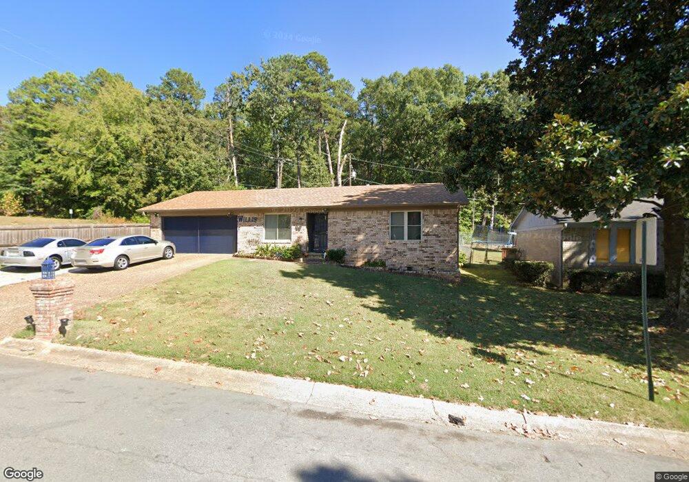
1807 Michael Dr Little Rock, AR 72204
John Barrow NeighborhoodEstimated Value: $136,000 - $172,000
--
Bed
2
Baths
1,227
Sq Ft
$124/Sq Ft
Est. Value
About This Home
This home is located at 1807 Michael Dr, Little Rock, AR 72204 and is currently estimated at $152,006, approximately $123 per square foot. 1807 Michael Dr is a home located in Pulaski County with nearby schools including Brady Elementary School, J.A. Fair K8 Preparatory School, and Henderson Middle School.
Ownership History
Date
Name
Owned For
Owner Type
Purchase Details
Closed on
Feb 26, 2003
Sold by
Leak Wiletta and Leak Lonzo
Bought by
Willis Obbie L
Current Estimated Value
Home Financials for this Owner
Home Financials are based on the most recent Mortgage that was taken out on this home.
Original Mortgage
$52,000
Interest Rate
5.24%
Mortgage Type
Purchase Money Mortgage
Create a Home Valuation Report for This Property
The Home Valuation Report is an in-depth analysis detailing your home's value as well as a comparison with similar homes in the area
Home Values in the Area
Average Home Value in this Area
Purchase History
| Date | Buyer | Sale Price | Title Company |
|---|---|---|---|
| Willis Obbie L | -- | -- |
Source: Public Records
Mortgage History
| Date | Status | Borrower | Loan Amount |
|---|---|---|---|
| Closed | Willis Obbie L | $52,000 |
Source: Public Records
Tax History Compared to Growth
Tax History
| Year | Tax Paid | Tax Assessment Tax Assessment Total Assessment is a certain percentage of the fair market value that is determined by local assessors to be the total taxable value of land and additions on the property. | Land | Improvement |
|---|---|---|---|---|
| 2025 | $1,471 | $21,900 | $3,200 | $18,700 |
| 2024 | $1,261 | $21,900 | $3,200 | $18,700 |
| 2023 | $1,261 | $21,900 | $3,200 | $18,700 |
| 2022 | $1,156 | $21,900 | $3,200 | $18,700 |
| 2021 | $1,058 | $15,010 | $2,100 | $12,910 |
| 2020 | $1,051 | $15,010 | $2,100 | $12,910 |
| 2019 | $1,051 | $15,010 | $2,100 | $12,910 |
| 2018 | $1,051 | $15,010 | $2,100 | $12,910 |
| 2017 | $1,051 | $15,010 | $2,100 | $12,910 |
| 2016 | $1,179 | $16,840 | $3,300 | $13,540 |
| 2015 | $1,180 | $16,840 | $3,300 | $13,540 |
| 2014 | $1,180 | $16,840 | $3,300 | $13,540 |
Source: Public Records
Map
Nearby Homes
- 0000 Kanis Pines Dr
- Lot 42R Kanis Pines Dr
- Lot 39R Kanis Pines Dr
- 8001 Kanis Pines Dr
- Lot 9 Kanis Oaks Dr
- Lot 8 Kanis Oaks Dr
- 8300 W 23rd St
- 7921 Kanis Oaks Dr
- 1622 Village Lake Dr
- 3918 W 23rd St
- 1625 Village Lake Dr
- 8212 W 24th St
- 1800 Labette Manor Dr
- 1900 Labette Manor Dr
- 1813 Lynette Dr
- 9203 Labette Dr
- 2522 Quebec Dr
- 8904 Sage Meadows Dr
- 2805 Longcoy St
- 9320 Tanya Dr
- 1813 Michael Dr
- 1806 Michael Dr
- 8418 Labette Dr
- 8405 Labette Dr
- 8500 Labette Dr
- 8419 Labette Dr
- 1905 Michael Dr
- 8504 Labette Dr
- 8425 Labette Dr
- 1909 Michael Dr
- 8503 Labette Dr
- 8510 Labette Dr
- 1908 Michael Dr
- 8509 Labette Dr
- 24 Howell Dr
- 1915 Michael Dr
- 8516 Labette Dr
- 22 Howell Dr
- 1712 Kanis Village Dr
- 8513 Labette Dr