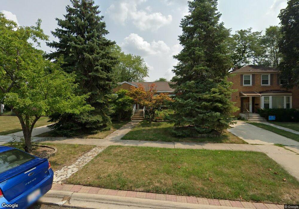
1807 Norfolk Ave Westchester, IL 60154
Estimated Value: $318,000 - $360,000
3
Beds
1
Bath
1,293
Sq Ft
$265/Sq Ft
Est. Value
About This Home
This home is located at 1807 Norfolk Ave, Westchester, IL 60154 and is currently estimated at $343,289, approximately $265 per square foot. 1807 Norfolk Ave is a home located in Cook County with nearby schools including Westchester Primary School, Westchester Intermediate School, and Westchester Middle School.
Ownership History
Date
Name
Owned For
Owner Type
Purchase Details
Closed on
May 2, 2019
Sold by
Mary B Gurewitz Trust
Bought by
David J Baloun Revocable Trust
Current Estimated Value
Purchase Details
Closed on
Nov 23, 2010
Sold by
Gurewitz Mary Baloun and Baloun Paul
Bought by
Gurewitz Mary B and Mary B Gurewitz Trust
Purchase Details
Closed on
May 10, 1996
Sold by
Pinnacle Bank
Bought by
Baloun Adele and Adele Baloun Trust
Create a Home Valuation Report for This Property
The Home Valuation Report is an in-depth analysis detailing your home's value as well as a comparison with similar homes in the area
Home Values in the Area
Average Home Value in this Area
Purchase History
| Date | Buyer | Sale Price | Title Company |
|---|---|---|---|
| David J Baloun Revocable Trust | -- | None Available | |
| Gurewitz Mary B | -- | None Available | |
| Baloun Adele | -- | -- |
Source: Public Records
Tax History Compared to Growth
Tax History
| Year | Tax Paid | Tax Assessment Tax Assessment Total Assessment is a certain percentage of the fair market value that is determined by local assessors to be the total taxable value of land and additions on the property. | Land | Improvement |
|---|---|---|---|---|
| 2024 | $5,257 | $26,000 | $5,159 | $20,841 |
| 2023 | $4,158 | $26,000 | $5,159 | $20,841 |
| 2022 | $4,158 | $19,787 | $4,422 | $15,365 |
| 2021 | $4,073 | $19,787 | $4,422 | $15,365 |
| 2020 | $4,098 | $19,787 | $4,422 | $15,365 |
| 2019 | $3,851 | $19,806 | $4,053 | $15,753 |
| 2018 | $5,522 | $19,806 | $4,053 | $15,753 |
| 2017 | $643 | $19,806 | $4,053 | $15,753 |
| 2016 | $3,295 | $16,293 | $3,685 | $12,608 |
| 2015 | $1,399 | $16,293 | $3,685 | $12,608 |
| 2014 | $3,344 | $16,293 | $3,685 | $12,608 |
| 2013 | $1,413 | $18,113 | $3,685 | $14,428 |
Source: Public Records
Map
Nearby Homes
- 1623 Manchester Ave
- 1900 Manchester Ave
- 1907 Suffolk Ave
- 1840 Gardner Rd
- 1601 Bristol Ave
- 1500 Bristol Ave
- 1932 Newcastle Ave
- 1433 Bristol Ave
- 2128 Hull Ave
- 10072 Drury Ln
- 2320 S 22nd Ave
- 1119 Newcastle Ave
- 1245 S Mannheim Rd Unit 2
- 1247 S Mannheim Rd Unit 3
- 10531 Camelot St
- 10524 Camelot St
- 10567 Waterford Dr
- 2237 S 22nd Ave
- 1016 Hull Ave
- 923 Manchester Ave
- 1813 Norfolk Ave
- 1803 Norfolk Ave
- 1817 Norfolk Ave
- 1806 Manchester Ave
- 1812 Manchester Ave
- 1800 Manchester Ave
- 1825 Norfolk Ave
- 1657 Norfolk Ave
- 1806 Norfolk Ave
- 1800 Norfolk Ave
- 1812 Norfolk Ave
- 1824 Manchester Ave
- 1831 Norfolk Ave
- 1656 Manchester Ave
- 1653 Norfolk Ave
- 1816 Norfolk Ave
- 1830 Manchester Ave
- 1824 Norfolk Ave
- 1652 Manchester Ave
- 1837 Norfolk Ave