Estimated Value: $162,652 - $247,000
2
Beds
1
Bath
888
Sq Ft
$223/Sq Ft
Est. Value
About This Home
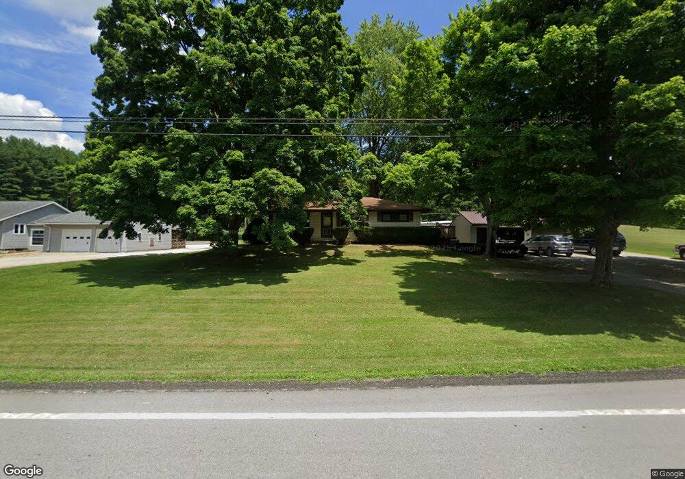
This home is located at 1807 State Route 39, Lucas, OH 44843 and is currently estimated at $197,663, approximately $222 per square foot. 1807 State Route 39 is a home located in Richland County with nearby schools including Lucas Elementary School, Lucas Heritage Middle School, and Lucas High School.
Ownership History
Date
Name
Owned For
Owner Type
Purchase Details
Closed on
Feb 12, 2021
Sold by
Christian Debbie and Christian Mark F
Bought by
Christian Mark F and Christian Debra
Current Estimated Value
Home Financials for this Owner
Home Financials are based on the most recent Mortgage that was taken out on this home.
Original Mortgage
$104,300
Interest Rate
2.8%
Mortgage Type
New Conventional
Purchase Details
Closed on
Jan 26, 2006
Sold by
Christian Mark Filson and Christian Mark F
Bought by
Christian Mark F and Christian Debbie
Home Financials for this Owner
Home Financials are based on the most recent Mortgage that was taken out on this home.
Original Mortgage
$126,000
Interest Rate
8.25%
Mortgage Type
Fannie Mae Freddie Mac
Create a Home Valuation Report for This Property
The Home Valuation Report is an in-depth analysis detailing your home's value as well as a comparison with similar homes in the area
Purchase History
| Date | Buyer | Sale Price | Title Company |
|---|---|---|---|
| Christian Mark F | -- | None Listed On Document | |
| Christian Mark F | -- | Landresource Title Agency Ll |
Source: Public Records
Mortgage History
| Date | Status | Borrower | Loan Amount |
|---|---|---|---|
| Previous Owner | Christian Mark F | $104,300 | |
| Previous Owner | Christian Mark F | $126,000 |
Source: Public Records
Tax History
| Year | Tax Paid | Tax Assessment Tax Assessment Total Assessment is a certain percentage of the fair market value that is determined by local assessors to be the total taxable value of land and additions on the property. | Land | Improvement |
|---|---|---|---|---|
| 2024 | $1,442 | $35,310 | $5,930 | $29,380 |
| 2023 | $1,480 | $35,310 | $5,930 | $29,380 |
| 2022 | $1,314 | $28,000 | $5,300 | $22,700 |
| 2021 | $1,317 | $28,000 | $5,300 | $22,700 |
| 2020 | $1,338 | $28,000 | $5,300 | $22,700 |
| 2019 | $1,233 | $24,240 | $4,490 | $19,750 |
| 2018 | $1,268 | $24,240 | $4,490 | $19,750 |
| 2017 | $1,287 | $24,240 | $4,490 | $19,750 |
| 2016 | $1,298 | $24,920 | $4,490 | $20,430 |
| 2015 | $1,298 | $24,920 | $4,490 | $20,430 |
| 2014 | $1,304 | $24,920 | $4,490 | $20,430 |
| 2012 | $642 | $24,920 | $4,490 | $20,430 |
Source: Public Records
Map
Nearby Homes
- 1851 State Route 39
- 2130 State Route 39
- St Rt 603
- 27 E Main St
- 28 N Union St
- 1 E Main St
- 2778 Lucas Perrysville Rd
- 2420 Mansfield Washington Rd
- 0 State Route 39 & I-71 Northeast Quadrant
- 2011 Ohio 39
- 0 State Route 39 & I-71 Southeast Quadrant
- 1715 Mansfield Lucas Rd
- 744 E Hanley Rd
- 0 Mount Zion Rd Unit 9069748
- 0 Woodville Rd Unit Lot 14952, 14953
- 0 Woodville Rd Unit Lot 14954, 14955
- 0 Woodville Rd Unit Lot 14956, 14957,
- 0 Peterson Rd
- 794 Mansfield Washington Rd
- 0 Mcelroy Rd
- 1803 State Route 39
- 1803 State Route 39
- 1803 State Route 39
- 1803 State Route 39
- 1787 State Route 39
- 1783 State Route 39
- 1825 State Route 39
- 1815 State Route 39
- 1795 State Route 39
- 1779 State Route 39
- 1779 Ohio 39
- 1835 State Route 39
- 1775 State Route 39
- 2849 Mansfield Lucas Rd
- 2845 Mansfield Lucas Rd
- 1765 State Route 39
- 1771 State Route 39
- 1847 State Route 39
- 2847 Mansfield Lucas Rd
- 2726 Mansfield Lucas Rd
Your Personal Tour Guide
Ask me questions while you tour the home.