1807 W 132nd St Compton, CA 90222
Estimated Value: $624,165 - $689,000
3
Beds
2
Baths
1,305
Sq Ft
$499/Sq Ft
Est. Value
About This Home
This home is located at 1807 W 132nd St, Compton, CA 90222 and is currently estimated at $650,791, approximately $498 per square foot. 1807 W 132nd St is a home located in Los Angeles County with nearby schools including Ronald E. McNair Elementary School, Enterprise Middle School, and Centennial High School.
Create a Home Valuation Report for This Property
The Home Valuation Report is an in-depth analysis detailing your home's value as well as a comparison with similar homes in the area
Home Values in the Area
Average Home Value in this Area
Tax History
| Year | Tax Paid | Tax Assessment Tax Assessment Total Assessment is a certain percentage of the fair market value that is determined by local assessors to be the total taxable value of land and additions on the property. | Land | Improvement |
|---|---|---|---|---|
| 2025 | $4,596 | $234,727 | $166,415 | $68,312 |
| 2024 | $4,596 | $230,125 | $163,152 | $66,973 |
| 2023 | $4,531 | $225,613 | $159,953 | $65,660 |
| 2022 | $3,970 | $221,190 | $156,817 | $64,373 |
| 2021 | $4,002 | $216,854 | $153,743 | $63,111 |
| 2019 | $7,735 | $210,424 | $149,184 | $61,240 |
| 2018 | $5,493 | $206,299 | $146,259 | $60,040 |
| 2016 | $3,566 | $198,290 | $140,581 | $57,709 |
| 2015 | $3,413 | $195,313 | $138,470 | $56,843 |
| 2014 | $3,353 | $191,488 | $135,758 | $55,730 |
Source: Public Records
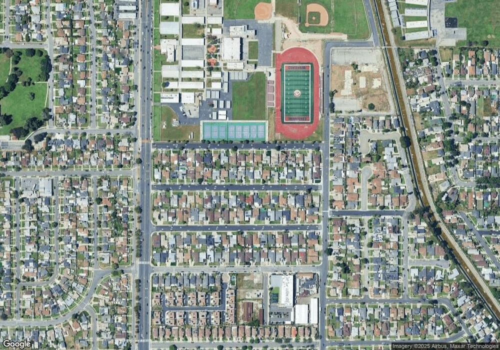
Map
Nearby Homes
- 2109 N Bahama Ave
- 1418 W 134th St
- 1805 N Central Ave
- 1918 W Piru St
- 2215 W 132nd St
- 2015 N Belhaven Ave
- 1619 W 136th St
- 1410 W Stockwell St
- 1406 W Stockwell St
- 810 W 133rd St
- 1209 W 136th St
- 1201 W 138th St
- 825 Sweetbay Ln
- 1036 W Stockwell St
- 9607 S Evers Ave
- 14003 S Nestor Ave
- 14016 S Albertson Ave
- 14118 S Zamora Ave
- 0 W 134th Place
- 1950 N Bloom Dr
- 1811 W 132nd St
- 1803 W 132nd St
- 1806 W 131st St
- 1815 W 132nd St
- 1715 W 132nd St
- 1808 W 131st St
- 1800 W 131st St
- 1812 W 131st St
- 1712 W 131st St
- 1901 W 132nd St
- 1711 W 132nd St
- 1806 W 132nd St
- 1800 W 132nd St
- 1808 W 132nd St
- 1900 W 131st St
- 1708 W 131st St
- 1714 W 132nd St
- 1812 W 132nd St
- 1902 W 132nd St
- 1907 W 132nd St
Your Personal Tour Guide
Ask me questions while you tour the home.