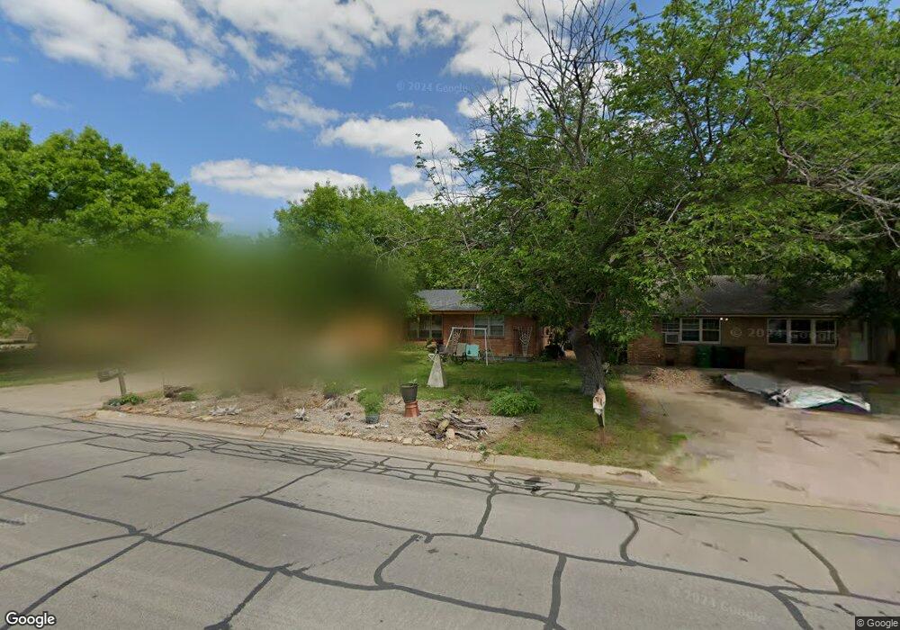
1808 Linden Dr Denton, TX 76201
Rayzor Ranch NeighborhoodEstimated Value: $282,000 - $326,000
3
Beds
2
Baths
1,424
Sq Ft
$216/Sq Ft
Est. Value
About This Home
This home is located at 1808 Linden Dr, Denton, TX 76201 and is currently estimated at $307,337, approximately $215 per square foot. 1808 Linden Dr is a home located in Denton County with nearby schools including Newton Rayzor Elementary School, Calhoun Middle School, and Denton High School.
Ownership History
Date
Name
Owned For
Owner Type
Purchase Details
Closed on
Aug 20, 1999
Sold by
Bryson John W and Bryson Elizabeth H
Bought by
Heffley Scott Floyd and Heffley Barbara Ann
Current Estimated Value
Home Financials for this Owner
Home Financials are based on the most recent Mortgage that was taken out on this home.
Original Mortgage
$70,875
Outstanding Balance
$20,415
Interest Rate
7.68%
Estimated Equity
$286,922
Purchase Details
Closed on
Oct 26, 1995
Sold by
Towns Robert C and Towns Laura B
Bought by
Bryson John W and Bryson Elizabeth H
Home Financials for this Owner
Home Financials are based on the most recent Mortgage that was taken out on this home.
Original Mortgage
$78,937
Interest Rate
7.6%
Mortgage Type
FHA
Create a Home Valuation Report for This Property
The Home Valuation Report is an in-depth analysis detailing your home's value as well as a comparison with similar homes in the area
Home Values in the Area
Average Home Value in this Area
Purchase History
| Date | Buyer | Sale Price | Title Company |
|---|---|---|---|
| Heffley Scott Floyd | -- | -- | |
| Bryson John W | -- | -- |
Source: Public Records
Mortgage History
| Date | Status | Borrower | Loan Amount |
|---|---|---|---|
| Open | Heffley Scott Floyd | $70,875 | |
| Previous Owner | Bryson John W | $78,937 | |
| Closed | Heffley Scott Floyd | $14,175 |
Source: Public Records
Tax History Compared to Growth
Tax History
| Year | Tax Paid | Tax Assessment Tax Assessment Total Assessment is a certain percentage of the fair market value that is determined by local assessors to be the total taxable value of land and additions on the property. | Land | Improvement |
|---|---|---|---|---|
| 2025 | $2,845 | $230,245 | $132,154 | $161,370 |
| 2024 | $4,040 | $209,314 | $0 | $0 |
| 2023 | $2,437 | $190,285 | $132,154 | $123,031 |
| 2022 | $3,672 | $172,986 | $62,319 | $119,851 |
| 2021 | $3,496 | $157,260 | $45,518 | $111,742 |
| 2020 | $3,319 | $145,214 | $45,518 | $99,696 |
| 2019 | $3,367 | $141,117 | $45,518 | $101,469 |
| 2018 | $3,099 | $128,288 | $45,518 | $89,673 |
| 2017 | $2,883 | $116,625 | $33,053 | $83,572 |
| 2016 | $2,400 | $116,577 | $33,053 | $83,524 |
| 2015 | $2,255 | $110,802 | $33,053 | $80,270 |
| 2013 | -- | $91,572 | $33,654 | $57,918 |
Source: Public Records
Map
Nearby Homes
- 1813 Crescent St
- 1716 Cordell St
- 1014 Hillcrest St
- 1509 Egan St
- 419 Marietta St
- 1200 Thomas St
- 910 Stanley St Unit 3
- 910 Stanley St Unit 5
- 910 Stanley St Unit 1
- 910 Stanley St Unit 2
- 910 Stanley St Unit 6
- 1027 Stanley St
- 1115 Egan St
- 321 Fry St
- 2044 W Oak St
- 406 Fry St
- 2230 Alamo Place
- 913 Cordell St
- 1007 Westway St
- 918 Egan St
- 1812 Linden Dr
- 1804 Linden Dr
- 1816 Linden Dr
- 1800 Linden Dr
- 1809 Carlton St
- 1805 Carlton St
- 1813 Carlton St
- 1820 Linden Dr
- 1817 Carlton St
- 1801 Carlton St
- 1817 Linden Dr
- 1813 Linden Dr
- 1821 Linden Dr
- 1821 Carlton St
- 1809 Linden Dr
- 1724 Linden Dr
- 1825 Linden Dr
- 1805 Linden Dr
- 1725 Carlton St
- 1007 Aileen St