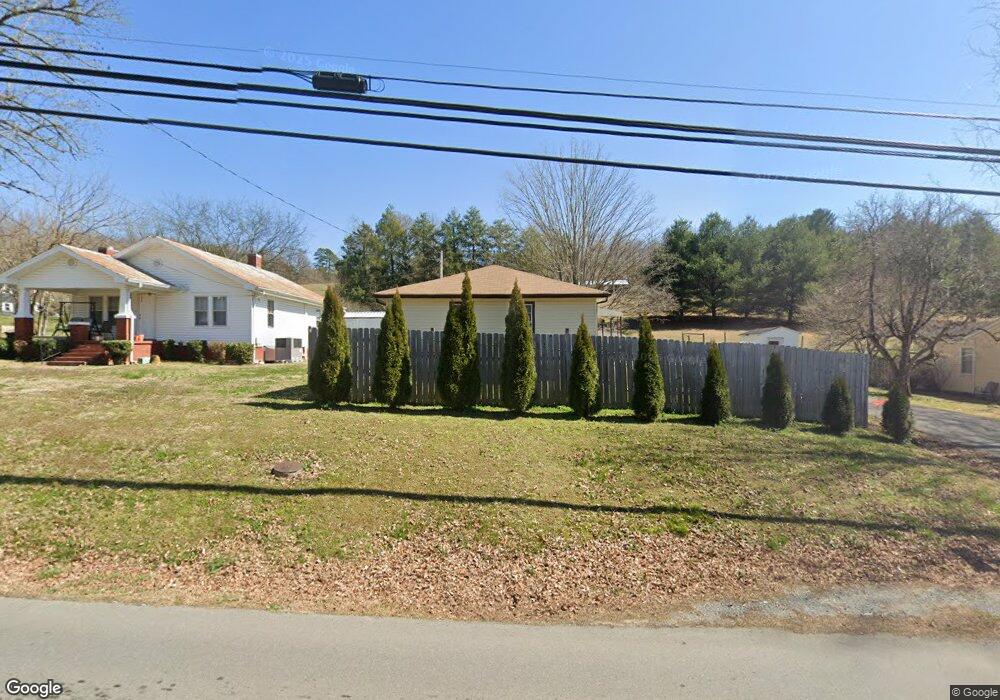
1808 Main St Dunlap, TN 37327
Estimated Value: $107,047 - $261,000
--
Bed
1
Bath
1,056
Sq Ft
$170/Sq Ft
Est. Value
About This Home
This home is located at 1808 Main St, Dunlap, TN 37327 and is currently estimated at $179,012, approximately $169 per square foot. 1808 Main St is a home located in Sequatchie County with nearby schools including Griffith Elementary School, Sequatchie County Middle School, and Sequatchie County High School.
Ownership History
Date
Name
Owned For
Owner Type
Purchase Details
Closed on
Sep 6, 2019
Sold by
Hensley William Cody
Bought by
Sandell Cain and Sandell Jacqueline
Current Estimated Value
Home Financials for this Owner
Home Financials are based on the most recent Mortgage that was taken out on this home.
Original Mortgage
$21,613
Outstanding Balance
$18,888
Interest Rate
3.7%
Mortgage Type
Seller Take Back
Estimated Equity
$160,124
Purchase Details
Closed on
Oct 5, 2011
Sold by
Hensley Kathi C
Bought by
Hensley William Cody
Home Financials for this Owner
Home Financials are based on the most recent Mortgage that was taken out on this home.
Original Mortgage
$36,000
Interest Rate
4.2%
Mortgage Type
Commercial
Purchase Details
Closed on
Nov 2, 1990
Bought by
Carville Ebal
Purchase Details
Closed on
Jul 15, 1988
Bought by
Elliott Sharon Shadrick Mark
Create a Home Valuation Report for This Property
The Home Valuation Report is an in-depth analysis detailing your home's value as well as a comparison with similar homes in the area
Home Values in the Area
Average Home Value in this Area
Purchase History
| Date | Buyer | Sale Price | Title Company |
|---|---|---|---|
| Sandell Cain | $21,610 | None Available | |
| Hensley William Cody | $40,000 | -- | |
| Carville Ebal | $30,000 | -- | |
| Elliott Sharon Shadrick Mark | $28,500 | -- |
Source: Public Records
Mortgage History
| Date | Status | Borrower | Loan Amount |
|---|---|---|---|
| Open | Sandell Cain | $21,613 | |
| Previous Owner | Hensley William Cody | $36,000 |
Source: Public Records
Tax History Compared to Growth
Tax History
| Year | Tax Paid | Tax Assessment Tax Assessment Total Assessment is a certain percentage of the fair market value that is determined by local assessors to be the total taxable value of land and additions on the property. | Land | Improvement |
|---|---|---|---|---|
| 2025 | $624 | $25,850 | $0 | $0 |
| 2024 | $624 | $25,850 | $2,625 | $23,225 |
| 2023 | $624 | $25,850 | $2,625 | $23,225 |
| 2022 | $406 | $12,250 | $1,375 | $10,875 |
| 2021 | $400 | $12,250 | $1,375 | $10,875 |
| 2020 | $400 | $12,250 | $1,375 | $10,875 |
| 2019 | $400 | $12,250 | $1,375 | $10,875 |
| 2018 | $396 | $12,250 | $1,375 | $10,875 |
| 2017 | $391 | $12,250 | $1,375 | $10,875 |
| 2016 | $419 | $12,575 | $1,375 | $11,200 |
| 2015 | $419 | $12,575 | $1,375 | $11,200 |
| 2014 | $419 | $12,575 | $1,375 | $11,200 |
Source: Public Records
Map
Nearby Homes
- 2 Fredonia Rd
- 14999 Rankin Ave
- 1 Fredonia Rd
- 3 Fredonia Rd
- 103 Fredonia Rd
- 0 State Rt 399 Lot 13
- 0 SE US Hwy 127 Unit 1519993
- 0 SE US Hwy 127 Unit 1519990
- 0 SE US Hwy 127 Unit 1519988
- 0 SE US Hwy 127 Unit 1314389
- 0 SE US Hwy 127 Unit 1519979
- 0 SE US Hwy 127 Unit 1519991
- 0 SE US Hwy 127 Unit 1519984
- 21550 U S 127
- 410 Cherry St
- Lot 13 B Greenfields Way
- 11342 Fredonia Rd
- 21 Fredonia Rd
- 254 Cdl Trail
- 95 Blue Sky Rd Rd