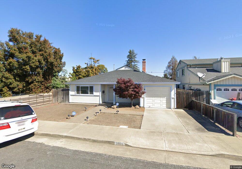
1809 Byron Ave San Mateo, CA 94401
South Shoreview NeighborhoodEstimated Value: $1,363,000 - $1,602,000
3
Beds
2
Baths
1,645
Sq Ft
$906/Sq Ft
Est. Value
About This Home
This home is located at 1809 Byron Ave, San Mateo, CA 94401 and is currently estimated at $1,489,730, approximately $905 per square foot. 1809 Byron Ave is a home located in San Mateo County with nearby schools including Lead Elementary School, Bayside Academy, and Aragon High School.
Ownership History
Date
Name
Owned For
Owner Type
Purchase Details
Closed on
May 6, 2004
Sold by
Byrne Robert and Byrne Rebecca
Bought by
Crummey Carol A
Current Estimated Value
Home Financials for this Owner
Home Financials are based on the most recent Mortgage that was taken out on this home.
Original Mortgage
$124,000
Outstanding Balance
$57,647
Interest Rate
5.38%
Mortgage Type
Purchase Money Mortgage
Estimated Equity
$1,432,083
Purchase Details
Closed on
Sep 30, 1997
Sold by
Jose Amezquita
Bought by
Byrne Robert and Byrne Rebecca
Home Financials for this Owner
Home Financials are based on the most recent Mortgage that was taken out on this home.
Original Mortgage
$200,000
Interest Rate
7.44%
Create a Home Valuation Report for This Property
The Home Valuation Report is an in-depth analysis detailing your home's value as well as a comparison with similar homes in the area
Home Values in the Area
Average Home Value in this Area
Purchase History
| Date | Buyer | Sale Price | Title Company |
|---|---|---|---|
| Crummey Carol A | $620,000 | North American Title Company | |
| Byrne Robert | $250,000 | Commonwealth Land Title Co |
Source: Public Records
Mortgage History
| Date | Status | Borrower | Loan Amount |
|---|---|---|---|
| Open | Crummey Carol A | $124,000 | |
| Previous Owner | Byrne Robert | $200,000 |
Source: Public Records
Tax History
| Year | Tax Paid | Tax Assessment Tax Assessment Total Assessment is a certain percentage of the fair market value that is determined by local assessors to be the total taxable value of land and additions on the property. | Land | Improvement |
|---|---|---|---|---|
| 2025 | $12,338 | $977,009 | $440,748 | $536,261 |
| 2023 | $12,338 | $939,073 | $423,634 | $515,439 |
| 2022 | $11,868 | $920,661 | $415,328 | $505,333 |
| 2021 | $11,622 | $902,611 | $407,185 | $495,426 |
| 2020 | $11,118 | $893,357 | $403,010 | $490,347 |
| 2019 | $10,804 | $875,841 | $395,108 | $480,733 |
| 2018 | $10,260 | $858,669 | $387,361 | $471,308 |
| 2017 | $10,001 | $841,833 | $379,766 | $462,067 |
| 2016 | $9,915 | $825,328 | $372,320 | $453,008 |
| 2015 | $9,673 | $812,932 | $366,728 | $446,204 |
| 2014 | $8,557 | $720,000 | $324,500 | $395,500 |
Source: Public Records
Map
Nearby Homes
- 1852 Dale Ave
- 1540 Newbridge Ave
- 732 Rand St
- 638 Rand St
- 425 Anchor Rd Unit 317
- 220 Waters Park Cir Unit 201
- 220 Waters Park Cir Unit 304
- 711 S Bayshore Blvd Unit 29
- 711 S Bayshore Blvd Unit 22
- 711 S Bayshore Blvd Unit 4
- 401 S Norfolk St Unit 123
- 957 E Grant Place
- 745 Birch Ave
- 1662 Washington St
- 906 Haddon Dr
- 444 Fathom Dr
- 2279 Armada Way Unit 104
- 2271 Armada Way
- 707 Fathom Dr Unit 208
- 707 Fathom Dr Unit 212
Your Personal Tour Guide
Ask me questions while you tour the home.