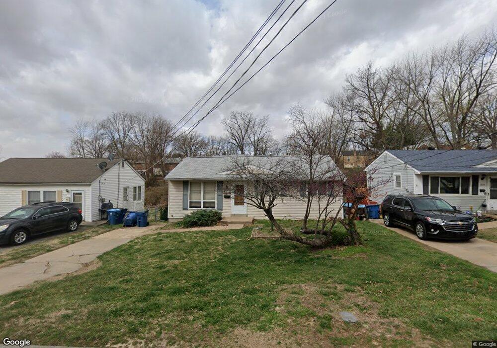
1809 Dyer Ave Saint Louis, MO 63114
Estimated Value: $164,979 - $180,000
3
Beds
2
Baths
896
Sq Ft
$191/Sq Ft
Est. Value
About This Home
This home is located at 1809 Dyer Ave, Saint Louis, MO 63114 and is currently estimated at $170,995, approximately $190 per square foot. 1809 Dyer Ave is a home located in St. Louis County with nearby schools including Iveland Elementary School, Hoech Middle School, and Ritenour Senior High School.
Ownership History
Date
Name
Owned For
Owner Type
Purchase Details
Closed on
Nov 30, 2021
Sold by
Polinsky Bryan R and Polinsky Tracey R
Bought by
Landers Myron L
Current Estimated Value
Home Financials for this Owner
Home Financials are based on the most recent Mortgage that was taken out on this home.
Original Mortgage
$125,000
Outstanding Balance
$114,936
Interest Rate
3.09%
Mortgage Type
VA
Estimated Equity
$56,059
Purchase Details
Closed on
May 8, 2003
Sold by
York Mary Christian
Bought by
Polinsky Bryan and Polinsky Tracey R
Home Financials for this Owner
Home Financials are based on the most recent Mortgage that was taken out on this home.
Original Mortgage
$79,373
Interest Rate
5.77%
Mortgage Type
FHA
Purchase Details
Closed on
Jul 24, 1997
Sold by
Christian York Mary and Christian Mary C
Bought by
York Wayne Alan
Create a Home Valuation Report for This Property
The Home Valuation Report is an in-depth analysis detailing your home's value as well as a comparison with similar homes in the area
Home Values in the Area
Average Home Value in this Area
Purchase History
| Date | Buyer | Sale Price | Title Company |
|---|---|---|---|
| Landers Myron L | $122,500 | Security Title | |
| Polinsky Bryan | $80,000 | -- | |
| York Wayne Alan | -- | -- |
Source: Public Records
Mortgage History
| Date | Status | Borrower | Loan Amount |
|---|---|---|---|
| Open | Landers Myron L | $125,000 | |
| Previous Owner | Polinsky Bryan | $79,373 |
Source: Public Records
Tax History
| Year | Tax Paid | Tax Assessment Tax Assessment Total Assessment is a certain percentage of the fair market value that is determined by local assessors to be the total taxable value of land and additions on the property. | Land | Improvement |
|---|---|---|---|---|
| 2025 | $1,988 | $26,550 | $5,990 | $20,560 |
| 2024 | $1,988 | $23,200 | $3,590 | $19,610 |
| 2023 | $1,945 | $23,200 | $3,590 | $19,610 |
| 2022 | $1,765 | $18,450 | $2,790 | $15,660 |
| 2021 | $1,765 | $18,450 | $2,790 | $15,660 |
| 2020 | $1,648 | $15,880 | $3,950 | $11,930 |
| 2019 | $1,632 | $15,880 | $3,950 | $11,930 |
| 2018 | $1,884 | $16,550 | $3,100 | $13,450 |
| 2016 | $1,783 | $16,740 | $3,190 | $13,550 |
Source: Public Records
Map
Nearby Homes
- 1735 O Connell Ave
- 1805 Uceyle Ave
- 9913 Zykan Ct
- 10000 Lackland Rd
- 10027 Lackland Rd
- 1940 Stedman Ct
- 10239 Driver Ave
- 10416 Lackland Rd
- 10111 Niblic Dr
- 10107 Niblic Dr
- 9822 Zykan Dr
- 1914 Overland Dr
- 2000 Wismer Ave
- 9750 Flora Ave
- 2242 Huntington Ave
- 10510 Briston Ct Unit 1C
- 10518 Briston Ct
- 9741 Trescott Ave
- 9608 Miriam Ave
- 2412 Silkwood Dr
- 1819 Dyer Ave
- 1757 Dyer Ave
- 1827 Dyer Ave
- 1753 Dyer Ave
- 1833 Dyer Ave
- 1822 Oconnell Ave
- 1818 Oconnell Ave
- 1812 Oconnell Ave
- 1826 Oconnell Ave
- 1843 Dyer Ave
- 1800 Dyer Ave
- 1800 Oconnell Ave
- 1830 Oconnell Ave
- 1737 Dyer Ave
- 1750 Dyer Ave
- 1746 Oconnell Ave
- 1838 Oconnell Ave
- 1838 O Connell Ave
- 1845 Dyer Ave
- 1734 Oconnell Ave
Your Personal Tour Guide
Ask me questions while you tour the home.