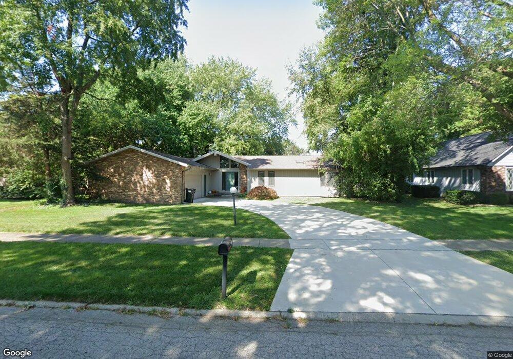
1809 Maynard Dr Champaign, IL 61822
Estimated Value: $255,634 - $349,000
Studio
--
Bath
--
Sq Ft
16,509
Sq Ft Lot
About This Home
This home is located at 1809 Maynard Dr, Champaign, IL 61822 and is currently estimated at $294,409. 1809 Maynard Dr is a home located in Champaign County with nearby schools including Centennial High School, Countryside School, and Swann Special Care Center-Elem/Secondary School.
Ownership History
Date
Name
Owned For
Owner Type
Purchase Details
Closed on
Jul 16, 2003
Sold by
Dixon Joan M
Bought by
Dixon Joan M
Current Estimated Value
Home Financials for this Owner
Home Financials are based on the most recent Mortgage that was taken out on this home.
Original Mortgage
$100,000
Interest Rate
5.37%
Mortgage Type
Purchase Money Mortgage
Create a Home Valuation Report for This Property
The Home Valuation Report is an in-depth analysis detailing your home's value as well as a comparison with similar homes in the area
Purchase History
| Date | Buyer | Sale Price | Title Company |
|---|---|---|---|
| Dixon Joan M | -- | -- | |
| Dixon Joan M | $164,000 | -- |
Source: Public Records
Mortgage History
| Date | Status | Borrower | Loan Amount |
|---|---|---|---|
| Closed | Dixon Joan M | $100,000 |
Source: Public Records
Tax History
| Year | Tax Paid | Tax Assessment Tax Assessment Total Assessment is a certain percentage of the fair market value that is determined by local assessors to be the total taxable value of land and additions on the property. | Land | Improvement |
|---|---|---|---|---|
| 2024 | $4,854 | $77,920 | $31,750 | $46,170 |
| 2023 | $4,854 | $71,950 | $29,320 | $42,630 |
| 2022 | $4,619 | $67,120 | $27,350 | $39,770 |
| 2021 | $4,437 | $65,940 | $26,870 | $39,070 |
| 2020 | $4,398 | $65,280 | $26,600 | $38,680 |
| 2019 | $4,253 | $64,190 | $26,160 | $38,030 |
| 2018 | $4,143 | $62,750 | $26,160 | $36,590 |
| 2017 | $4,001 | $60,690 | $26,160 | $34,530 |
| 2016 | $3,474 | $59,030 | $26,160 | $32,870 |
| 2015 | $3,290 | $59,030 | $26,160 | $32,870 |
| 2014 | $3,268 | $54,830 | $26,160 | $28,670 |
| 2013 | $3,213 | $54,830 | $26,160 | $28,670 |
Source: Public Records
Map
Nearby Homes
- 3120 Moraine Dr
- 1850 Maynard Dr
- 3510 S Duncan Rd
- 1610 Stratford Dr
- 1914 Woodfield Rd
- 1309 Maplepark Dr
- 1914 Trout Valley Dr
- 2605 Trafalgar Square
- 2704 W Kirby Ave
- 2703 Lawndale Dr
- 2612 W Kirby Ave
- 2705 Willowpark Dr
- 2504 Hathaway Dr
- 2812 Alton Dr
- 4002 Lakepoint Rd
- 2205 Edgewater Place
- 2401 Arden Dr
- 1904 Scottsdale Dr
- 2104 Morningview Place
- 7 Briar Hill Cir Unit G
- 1813 Maynard Dr
- 1805 Maynard Dr
- 1806 Bridgestone Dr
- 1817 Maynard Dr
- 1808 Bridgestone Dr
- 1804 Bridgestone Dr
- 1800 Maynard Dr
- 1806 Maynard Dr
- 1801 Maynard Dr
- 1821 Maynard Dr
- 3307 Roxford Dr
- 1810 Maynard Dr
- 1802 Bridgestone Dr
- 1814 Maynard Dr
- 1776 Maynard Dr
- 1818 Maynard Dr
- 1822 Maynard Dr
- 1826 Maynard Dr
- 1807 Bridgestone Dr
- 1805 Bridgestone Dr
Your Personal Tour Guide
Ask me questions while you tour the home.