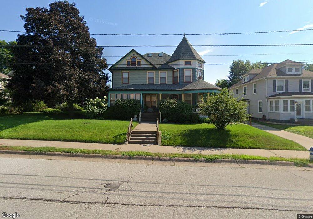
1809 Mulberry Ave Muscatine, IA 52761
Estimated Value: $262,000 - $303,495
4
Beds
3
Baths
3,037
Sq Ft
$92/Sq Ft
Est. Value
About This Home
This home is located at 1809 Mulberry Ave, Muscatine, IA 52761 and is currently estimated at $278,374, approximately $91 per square foot. 1809 Mulberry Ave is a home located in Muscatine County with nearby schools including Grant Elementary School, Central Middle School, and Muscatine High School.
Ownership History
Date
Name
Owned For
Owner Type
Purchase Details
Closed on
Nov 30, 2006
Sold by
Pagel Nancy E
Bought by
Spread Tom R and Spread Edwina L
Current Estimated Value
Home Financials for this Owner
Home Financials are based on the most recent Mortgage that was taken out on this home.
Original Mortgage
$375,000
Outstanding Balance
$224,177
Interest Rate
6.4%
Mortgage Type
Purchase Money Mortgage
Estimated Equity
$54,197
Create a Home Valuation Report for This Property
The Home Valuation Report is an in-depth analysis detailing your home's value as well as a comparison with similar homes in the area
Home Values in the Area
Average Home Value in this Area
Purchase History
| Date | Buyer | Sale Price | Title Company |
|---|---|---|---|
| Spread Tom R | $187,500 | None Available |
Source: Public Records
Mortgage History
| Date | Status | Borrower | Loan Amount |
|---|---|---|---|
| Open | Spread Tom R | $375,000 |
Source: Public Records
Tax History Compared to Growth
Tax History
| Year | Tax Paid | Tax Assessment Tax Assessment Total Assessment is a certain percentage of the fair market value that is determined by local assessors to be the total taxable value of land and additions on the property. | Land | Improvement |
|---|---|---|---|---|
| 2025 | $4,984 | $303,520 | $37,080 | $266,440 |
| 2024 | $4,984 | $298,870 | $37,080 | $261,790 |
| 2023 | $5,178 | $298,337 | $37,121 | $261,216 |
| 2022 | $4,884 | $266,270 | $35,020 | $231,250 |
| 2021 | $4,884 | $248,270 | $35,020 | $213,250 |
| 2020 | $4,782 | $236,420 | $35,020 | $201,400 |
| 2019 | $4,654 | $219,210 | $0 | $0 |
| 2018 | $4,572 | $218,550 | $0 | $0 |
| 2017 | $4,572 | $217,220 | $0 | $0 |
| 2016 | $4,716 | $217,220 | $0 | $0 |
| 2015 | $4,716 | $210,520 | $0 | $0 |
| 2014 | $4,594 | $210,520 | $0 | $0 |
Source: Public Records
Map
Nearby Homes
- 1811 Mulberry Ave
- 1813 Mulberry Ave
- 1805 Mulberry Ave
- 1710 Orange St
- 1714 Orange St
- 1704 Orange St
- 1815 Mulberry Ave
- 1803 Mulberry Ave
- 1702 Orange St
- 1800 Orange St
- 1700 Orange St
- 1904 Orange St
- 1801 Mulberry Ave
- 1819 Mulberry Ave
- 1804 Mulberry Ave
- 1810 Mulberry Ave
- 1626 Orange St
- 1800 Mulberry Ave
- 1713 Orange St
- 1711 Orange St