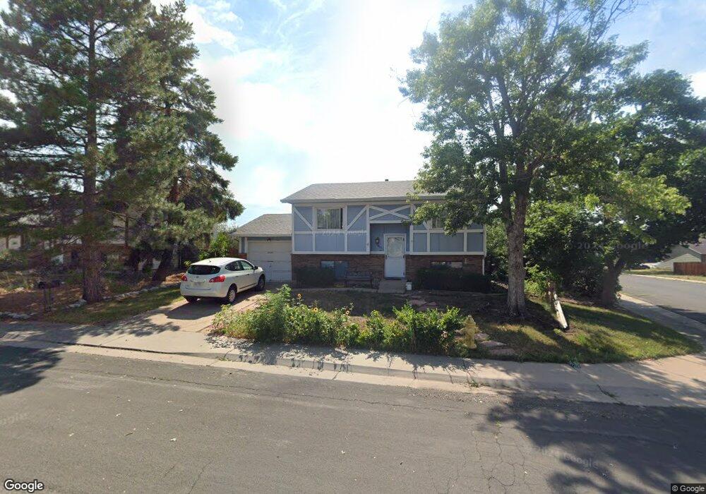
1809 S Mobile St Aurora, CO 80017
Horseshoe Park NeighborhoodEstimated Value: $378,464 - $444,000
2
Beds
3
Baths
802
Sq Ft
$511/Sq Ft
Est. Value
About This Home
This home is located at 1809 S Mobile St, Aurora, CO 80017 and is currently estimated at $409,866, approximately $511 per square foot. 1809 S Mobile St is a home located in Arapahoe County with nearby schools including Iowa Elementary School, Mrachek Middle School, and Gateway High School.
Ownership History
Date
Name
Owned For
Owner Type
Purchase Details
Closed on
Nov 20, 2002
Sold by
Clark Maureen B
Bought by
Peck Wayne Otto
Current Estimated Value
Home Financials for this Owner
Home Financials are based on the most recent Mortgage that was taken out on this home.
Original Mortgage
$142,400
Outstanding Balance
$57,405
Interest Rate
5.89%
Estimated Equity
$352,461
Purchase Details
Closed on
Dec 6, 1993
Sold by
Clark Donald C
Bought by
Clark Maureen B
Home Financials for this Owner
Home Financials are based on the most recent Mortgage that was taken out on this home.
Original Mortgage
$53,833
Interest Rate
7.64%
Mortgage Type
FHA
Purchase Details
Closed on
Dec 1, 1979
Sold by
Conversion Arapco
Bought by
Conversion Arapco
Purchase Details
Closed on
Jul 4, 1776
Bought by
Conversion Arapco
Create a Home Valuation Report for This Property
The Home Valuation Report is an in-depth analysis detailing your home's value as well as a comparison with similar homes in the area
Home Values in the Area
Average Home Value in this Area
Purchase History
| Date | Buyer | Sale Price | Title Company |
|---|---|---|---|
| Peck Wayne Otto | $178,000 | Security Title | |
| Clark Maureen B | -- | -- | |
| Clark Maureen B | -- | -- | |
| Conversion Arapco | -- | -- | |
| Conversion Arapco | -- | -- |
Source: Public Records
Mortgage History
| Date | Status | Borrower | Loan Amount |
|---|---|---|---|
| Open | Peck Wayne Otto | $142,400 | |
| Previous Owner | Clark Maureen B | $53,833 |
Source: Public Records
Tax History
| Year | Tax Paid | Tax Assessment Tax Assessment Total Assessment is a certain percentage of the fair market value that is determined by local assessors to be the total taxable value of land and additions on the property. | Land | Improvement |
|---|---|---|---|---|
| 2025 | $1,898 | $25,769 | -- | -- |
| 2024 | $1,841 | $26,505 | -- | -- |
| 2023 | $1,841 | $26,505 | $0 | $0 |
| 2022 | $1,505 | $21,935 | $0 | $0 |
| 2021 | $2,274 | $21,935 | $0 | $0 |
| 2020 | $1,855 | $17,818 | $0 | $0 |
| 2019 | $1,845 | $17,818 | $0 | $0 |
| 2018 | $1,806 | $17,078 | $0 | $0 |
| 2017 | $1,571 | $17,078 | $0 | $0 |
| 2016 | $1,316 | $14,010 | $0 | $0 |
| 2015 | $1,270 | $14,010 | $0 | $0 |
| 2014 | $941 | $9,990 | $0 | $0 |
| 2013 | -- | $11,990 | $0 | $0 |
Source: Public Records
Map
Nearby Homes
- 1800 S Mobile St
- 16257 E Bails Place
- 16102 E Colorado Ave
- 1656 S Mobile St
- 16662 E Asbury Ave
- 16800 E Bails Place
- 1996 S Olathe St
- 16133 E Iowa Ave
- 15880 E Utah Place
- 1558 S Laredo Ct
- 1529 S Nucla St
- 16602 E Gunnison Place
- 2118 S Mobile Way
- 16344 E Carolina Dr
- 16333 E Carolina Dr
- 1662 S Idalia Cir Unit N
- 2034 S Idalia St
- 15660 E Mexico Ave
- 1642 S Idalia Cir Unit B
- 2159 S Kittredge Way
- 1819 S Mobile St
- 1808 S Memphis St
- 1818 S Memphis St
- 1797 S Mobile St
- 1839 S Mobile St
- 1838 S Memphis St
- 1796 S Memphis St
- 1798 S Mobile St
- 1830 S Mobile St
- 1777 S Mobile St
- 1859 S Mobile St
- 1858 S Memphis St
- 1788 S Mobile St
- 1776 S Memphis St
- 1850 S Mobile St
- 1807 S Memphis St
- 1817 S Memphis St
- 1801 S Norfolk St
- 1757 S Mobile St
- 1799 S Norfolk St
Your Personal Tour Guide
Ask me questions while you tour the home.