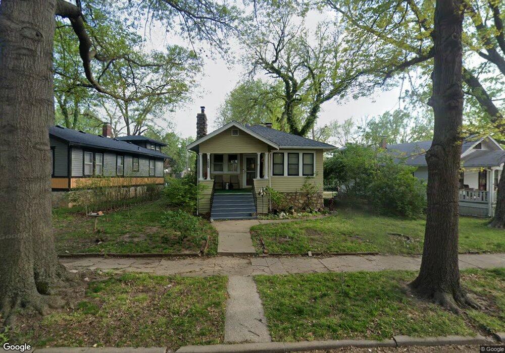
1809 W 1st Ave Topeka, KS 66606
Greater Auburndale NeighborhoodEstimated Value: $84,914 - $129,000
2
Beds
1
Bath
784
Sq Ft
$128/Sq Ft
Est. Value
About This Home
This home is located at 1809 W 1st Ave, Topeka, KS 66606 and is currently estimated at $99,979, approximately $127 per square foot. 1809 W 1st Ave is a home located in Shawnee County with nearby schools including Rosenwald Elementary School, Martin Park Elementary School, and Meadows Elementary School.
Ownership History
Date
Name
Owned For
Owner Type
Purchase Details
Closed on
Jun 12, 2023
Sold by
Gaines Karla Renee
Bought by
Loy Karla Renee
Current Estimated Value
Purchase Details
Closed on
Apr 8, 2005
Sold by
Mcclain Evelyn S and Mcclain Evelyn F
Bought by
Loy Richard L and Loy Linda C
Home Financials for this Owner
Home Financials are based on the most recent Mortgage that was taken out on this home.
Original Mortgage
$43,000
Interest Rate
5.75%
Mortgage Type
New Conventional
Create a Home Valuation Report for This Property
The Home Valuation Report is an in-depth analysis detailing your home's value as well as a comparison with similar homes in the area
Home Values in the Area
Average Home Value in this Area
Purchase History
| Date | Buyer | Sale Price | Title Company |
|---|---|---|---|
| Loy Karla Renee | -- | None Listed On Document | |
| Loy Richard L | -- | Lawyears Title Of Topeka Inc |
Source: Public Records
Mortgage History
| Date | Status | Borrower | Loan Amount |
|---|---|---|---|
| Previous Owner | Loy Richard L | $43,000 |
Source: Public Records
Tax History Compared to Growth
Tax History
| Year | Tax Paid | Tax Assessment Tax Assessment Total Assessment is a certain percentage of the fair market value that is determined by local assessors to be the total taxable value of land and additions on the property. | Land | Improvement |
|---|---|---|---|---|
| 2025 | $1,226 | $9,671 | -- | -- |
| 2023 | $1,226 | $9,113 | $0 | $0 |
| 2022 | $1,133 | $7,924 | $0 | $0 |
| 2021 | $1,057 | $6,890 | $0 | $0 |
| 2020 | $993 | $6,562 | $0 | $0 |
| 2019 | $999 | $6,562 | $0 | $0 |
| 2018 | $970 | $6,371 | $0 | $0 |
| 2017 | $972 | $6,371 | $0 | $0 |
| 2014 | $1,008 | $6,536 | $0 | $0 |
Source: Public Records
Map
Nearby Homes
- 0000 SW Elmwood Ave Unit Lots 5,6 Laurel Park
- 312 SW Elmwood Ave
- 1830 SW Willow Ave
- 200 SW Orchard St
- 208 SW MacVicar Ave
- 700 SW Roosevelt St
- 433 SW Lincoln St
- 734 SW Lindenwood Ave
- 136 NW Quinton Ave
- 2235 SW Kenilworth Ct
- 808 SW Lindenwood Ave
- 326 SW Quinton Ave
- 511 SW Buchanan St
- 131 SW Clay St
- 634 SW Lincoln St
- 306 SW Clay St
- 731 SW Lincoln St
- 223 SW Fillmore St
- 711 SW Buchanan St
- 626 SW Medford Ave
- 1805 W 1st Ave
- 1805 W 1st Ave
- 1817 W 1st Ave
- 1817 W 1st Ave
- 201 SW Elmwood Ave
- 100 SW Knox Ave
- 106 SW Knox Ave
- 205 SW Elmwood Ave
- 110 SW Knox Ave
- 1808 W 1st Ave
- 209 SW Elmwood Ave
- 1808 W 1st Ave
- 1812 W 1st Ave
- 112 SW Knox Ave
- 211 SW Elmwood Ave
- 122 SW The Dr
- 215 SW Elmwood Ave
- 106 NW Knox Ave
- 107 NW Elmwood Ave
- 118 SW The Dr