18091 Highway 71 Carroll, IA 51401
Estimated Value: $508,007 - $555,000
5
Beds
3
Baths
3,527
Sq Ft
$150/Sq Ft
Est. Value
About This Home
This home is located at 18091 Highway 71, Carroll, IA 51401 and is currently estimated at $527,752, approximately $149 per square foot. 18091 Highway 71 is a home located in Carroll County with nearby schools including Fairview Elementary School, Adams Elementary School, and Carroll Middle School.
Ownership History
Date
Name
Owned For
Owner Type
Purchase Details
Closed on
Jul 6, 2007
Sold by
Wernimont Leon J and Wernimont Lavonne A
Bought by
Nelson Ioel P and Crawford Nelson Renee
Current Estimated Value
Home Financials for this Owner
Home Financials are based on the most recent Mortgage that was taken out on this home.
Original Mortgage
$200,000
Interest Rate
5.32%
Mortgage Type
New Conventional
Create a Home Valuation Report for This Property
The Home Valuation Report is an in-depth analysis detailing your home's value as well as a comparison with similar homes in the area
Home Values in the Area
Average Home Value in this Area
Purchase History
| Date | Buyer | Sale Price | Title Company |
|---|---|---|---|
| Nelson Ioel P | $271,500 | None Available |
Source: Public Records
Mortgage History
| Date | Status | Borrower | Loan Amount |
|---|---|---|---|
| Previous Owner | Nelson Ioel P | $200,000 |
Source: Public Records
Tax History Compared to Growth
Tax History
| Year | Tax Paid | Tax Assessment Tax Assessment Total Assessment is a certain percentage of the fair market value that is determined by local assessors to be the total taxable value of land and additions on the property. | Land | Improvement |
|---|---|---|---|---|
| 2025 | $3,862 | $506,950 | $113,400 | $393,550 |
| 2024 | $3,792 | $429,460 | $88,200 | $341,260 |
| 2023 | $4,075 | $429,460 | $88,200 | $341,260 |
| 2022 | $3,794 | $386,010 | $88,200 | $297,810 |
| 2021 | $3,794 | $386,010 | $88,200 | $297,810 |
| 2020 | $3,314 | $318,250 | $32,000 | $286,250 |
| 2019 | $3,402 | $318,250 | $32,000 | $286,250 |
| 2018 | $3,132 | $318,250 | $32,000 | $286,250 |
| 2017 | $3,104 | $317,619 | $29,960 | $287,659 |
| 2016 | $2,872 | $296,840 | $0 | $0 |
| 2015 | $2,872 | $305,190 | $0 | $0 |
| 2014 | $2,902 | $305,190 | $0 | $0 |
Source: Public Records
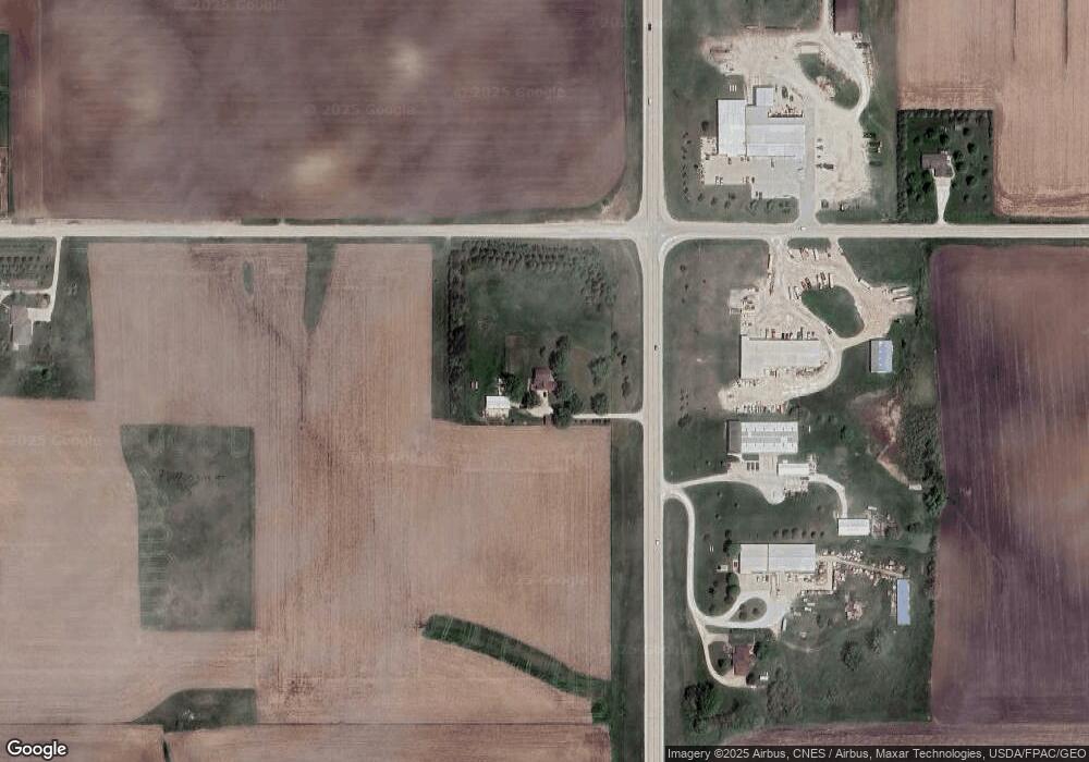
Map
Nearby Homes
- 711 W 21st St
- 611 W 21st St
- 1852 Quint Ave
- 1810 Crestview Dr
- 219 Windwood Dr
- 1608 Salinger Ave
- 631 W 17th St
- 1509 Birch St
- 1306 Simon Ave
- 2340 Skyline Dr
- 1601 N Main St
- 0 E 10th St Unit 5423085
- 0 E 10th St Unit 6324630
- 0 E 10th St Unit 6319081
- 1515 N Main St
- 265 Perch St
- 907 Salinger Ave
- 1320 N Adams St
- 1546 Olive St
- 1015 N Adams St
- 18136 Highway 71
- 21145 180th St
- 20568 180th St
- 20581 180th St
- 20465 180th St
- 17663 Highway 71
- 18508 Highway 71
- 20448 180th St
- 21403 180th St
- 21465 180th St
- 17509 Highway 71
- 18657 U S 71
- 20379 180th St
- 303 West St
- 21509 180th St
- 20257 180th St
- 1004 W 21st St
- 1000 W 21st St
- 916 W 21st St
- 908 W 21st St