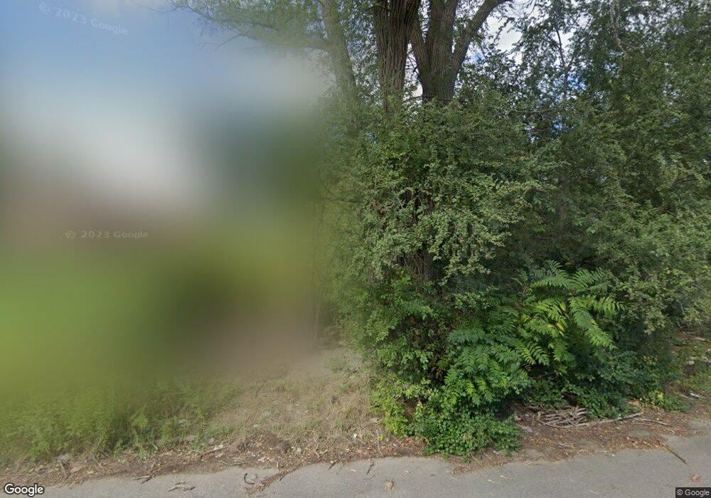
18097 Mcdougall St Detroit, MI 48234
Northeast Central District NeighborhoodEstimated Value: $91,000 - $120,000
--
Bed
1
Bath
1,226
Sq Ft
$86/Sq Ft
Est. Value
About This Home
This home is located at 18097 Mcdougall St, Detroit, MI 48234 and is currently estimated at $105,500, approximately $86 per square foot. 18097 Mcdougall St is a home located in Wayne County with nearby schools including Nolan Elementary/Middle School, Charles L. Spain Elementary-Middle School, and Edward 'Duke' Ellington Conservatory of Music and Art.
Ownership History
Date
Name
Owned For
Owner Type
Purchase Details
Closed on
Jan 4, 2016
Sold by
The City Of Detroit
Bought by
The Detroit Land Bank Authority
Current Estimated Value
Purchase Details
Closed on
Feb 7, 2013
Sold by
Wayne County Treasurer
Bought by
Planning & Development Dept City Of Detr
Purchase Details
Closed on
May 22, 2009
Sold by
Wells Fargo Bank Na
Bought by
Mar Partners 1
Purchase Details
Closed on
Sep 6, 2006
Sold by
King Willie L and King Karla A
Bought by
Wells Fargo Bank Na and Option One Mortgage Loan Trust 2002-6 As
Create a Home Valuation Report for This Property
The Home Valuation Report is an in-depth analysis detailing your home's value as well as a comparison with similar homes in the area
Home Values in the Area
Average Home Value in this Area
Purchase History
| Date | Buyer | Sale Price | Title Company |
|---|---|---|---|
| The Detroit Land Bank Authority | -- | None Available | |
| Planning & Development Dept City Of Detr | -- | None Available | |
| Mar Partners 1 | -- | None Available | |
| Wells Fargo Bank Na | $63,750 | None Available |
Source: Public Records
Tax History Compared to Growth
Tax History
| Year | Tax Paid | Tax Assessment Tax Assessment Total Assessment is a certain percentage of the fair market value that is determined by local assessors to be the total taxable value of land and additions on the property. | Land | Improvement |
|---|---|---|---|---|
| 2025 | -- | $0 | $0 | $0 |
| 2024 | -- | $0 | $0 | $0 |
| 2023 | $0 | $0 | $0 | $0 |
| 2022 | -- | $0 | $0 | $0 |
| 2021 | $0 | $0 | $0 | $0 |
| 2020 | $1,641 | $0 | $0 | $0 |
| 2019 | $1,641 | $0 | $0 | $0 |
| 2018 | $0 | $400 | $0 | $0 |
| 2017 | $7 | $400 | $0 | $0 |
| 2016 | $575 | $3,200 | $0 | $0 |
| 2015 | $130 | $1,300 | $0 | $0 |
| 2013 | $1,897 | $21,165 | $0 | $0 |
| 2010 | -- | $31,031 | $1,293 | $29,738 |
Source: Public Records
Map
Nearby Homes
- 17892 Mitchell St
- 18466 Revere St
- 18010 Anglin St
- 18423 Norwood St
- 18433 Norwood St
- 18660 Charest St
- 18591 Brinker St
- 18547 Anglin St
- 18654 Klinger St
- 18660 Klinger St
- 18052 Mackay St
- 18620 Maine St
- 18544 Wexford St
- 17922 Arlington St
- 18901 Brinker St
- 18534 Goddard St
- 19031 Klinger St
- 3302 Seven Mile E
- 18128 Fleming St
- 17486 Maine St
- 18065 Mcdougall St
- 18115 Mcdougall St
- 18121 Mcdougall St
- 18094 Mitchell St
- 18102 Mitchell St
- 18110 Mcdougall St
- 18127 Mcdougall St
- 18110 Mitchell St
- 18100 Mcdougall St
- 18080 Mitchell St
- 18092 Mcdougall St
- 18120 Mitchell St
- 18133 Mcdougall St
- 18086 Mcdougall St
- 18128 Mitchell St
- 18139 Mcdougall St
- 18060 Mcdougall St
- 18107 Conant St
- 18439 Conant St
- 18138 Mitchell St