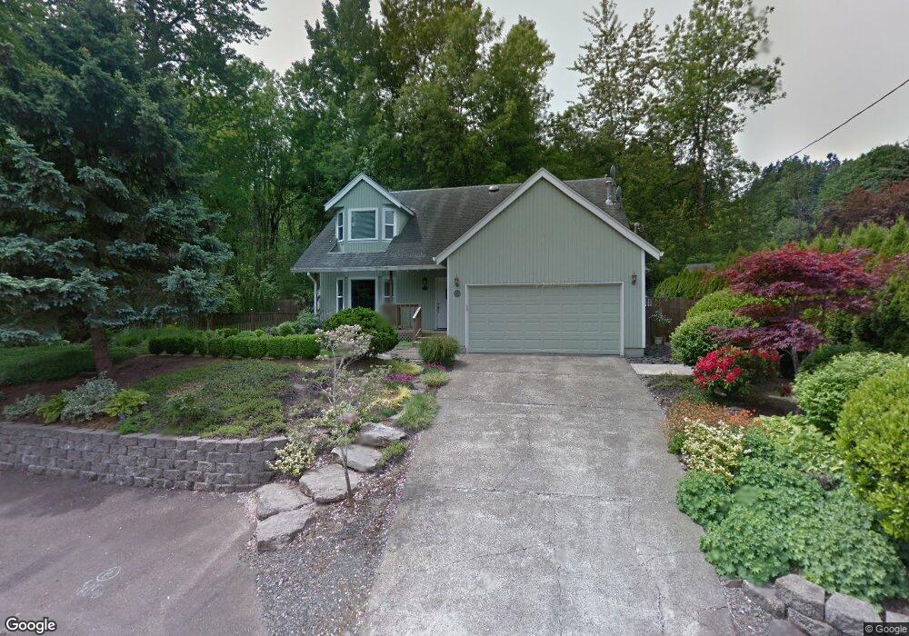
18098 Lower Midhill Dr West Linn, OR 97068
Robinwood NeighborhoodEstimated Value: $633,287 - $778,000
3
Beds
3
Baths
1,806
Sq Ft
$375/Sq Ft
Est. Value
About This Home
This home is located at 18098 Lower Midhill Dr, West Linn, OR 97068 and is currently estimated at $677,322, approximately $375 per square foot. 18098 Lower Midhill Dr is a home located in Clackamas County with nearby schools including Cedaroak Park Primary School, West Linn High School, and Harmony Academy.
Ownership History
Date
Name
Owned For
Owner Type
Purchase Details
Closed on
Jan 2, 2001
Sold by
Scroggs Inc
Bought by
Tate Susan J and Morgan David Scott
Current Estimated Value
Purchase Details
Closed on
Nov 30, 2000
Sold by
Scroggs Inc
Bought by
Scroggs Inc
Purchase Details
Closed on
Sep 13, 1995
Sold by
Bailey Patrick Lee and Bailey Susan Kay
Bought by
Adam Sani and Adam Eliza A
Home Financials for this Owner
Home Financials are based on the most recent Mortgage that was taken out on this home.
Original Mortgage
$114,000
Interest Rate
7.88%
Create a Home Valuation Report for This Property
The Home Valuation Report is an in-depth analysis detailing your home's value as well as a comparison with similar homes in the area
Home Values in the Area
Average Home Value in this Area
Purchase History
| Date | Buyer | Sale Price | Title Company |
|---|---|---|---|
| Tate Susan J | $60,000 | Stewart Title | |
| Scroggs Inc | -- | Stewart Title | |
| Adam Sani | $168,175 | Ticor Title Insurance |
Source: Public Records
Mortgage History
| Date | Status | Borrower | Loan Amount |
|---|---|---|---|
| Previous Owner | Adam Sani | $114,000 |
Source: Public Records
Tax History Compared to Growth
Tax History
| Year | Tax Paid | Tax Assessment Tax Assessment Total Assessment is a certain percentage of the fair market value that is determined by local assessors to be the total taxable value of land and additions on the property. | Land | Improvement |
|---|---|---|---|---|
| 2025 | $5,761 | $298,946 | -- | -- |
| 2024 | $5,546 | $290,239 | -- | -- |
| 2023 | $5,546 | $281,786 | $0 | $0 |
| 2022 | $5,234 | $273,579 | $0 | $0 |
| 2021 | $4,969 | $265,611 | $0 | $0 |
| 2020 | $5,002 | $257,875 | $0 | $0 |
| 2019 | $4,771 | $250,365 | $0 | $0 |
| 2018 | $4,557 | $243,073 | $0 | $0 |
| 2017 | $4,381 | $235,993 | $0 | $0 |
| 2016 | $4,267 | $229,119 | $0 | $0 |
| 2015 | $3,992 | $222,446 | $0 | $0 |
| 2014 | $3,763 | $215,967 | $0 | $0 |
Source: Public Records
Map
Nearby Homes
- 17833 Marylcreek Dr
- 2455 College Hill Place
- 2636 Maria Ct
- 1354 Skye Pkwy
- 2167 Marylwood Ct
- 18194 Shady Hollow Way
- 2041 Marylhurst Dr
- 17634 Brookhurst Dr
- 3340 Arbor Dr
- 17623 Brookhurst Dr
- 1384 Celtic Ct
- 1397 Skye Pkwy
- 1777 Skyland Dr
- 17514 Brookhurst Dr
- 18711 Willamette Dr
- 18649 Old River Dr
- 1611 Arran Ct
- 3446 Fernvilla Dr
- 1321 Troon Dr
- 3777 Parkwood Way
- 2366 Arbor Dr
- 2354 Arbor Dr
- 18061 Lower Midhill Dr
- 2430 Arbor Dr
- 2332 Arbor Dr
- 2332 Arbor Dr Unit 2
- 2434 Woodhill Ct
- 2270 Arbor Dr
- 2470 Arbor Dr
- 2466 Woodhill Ct
- 2387 Arbor Dr
- 2530 Arbor Dr
- 2423 Arbor Dr
- 2470 Woodhill Ct
- 18353 Upper Midhill Dr
- 2216 Arbor Dr
- 2433 Woodhill Ct
- 2475 Arbor Dr
- 2580 Arbor Dr
- 2560 Woodhill Ct