181 Curtis Dr Forsyth, MO 65653
Estimated Value: $203,164 - $303,000
3
Beds
--
Bath
2,505
Sq Ft
$101/Sq Ft
Est. Value
About This Home
This home is located at 181 Curtis Dr, Forsyth, MO 65653 and is currently estimated at $252,541, approximately $100 per square foot. 181 Curtis Dr is a home located in Taney County with nearby schools including Forsyth Elementary School, Forsyth Middle School, and Forsyth High School.
Ownership History
Date
Name
Owned For
Owner Type
Purchase Details
Closed on
Dec 31, 2018
Sold by
Cardwell Robert F and Rhodes Jenna
Bought by
Critten Deanna N
Current Estimated Value
Purchase Details
Closed on
Apr 28, 2010
Sold by
Haldiman Mary M
Bought by
Cardwell Robert F and Critten Deanna M
Home Financials for this Owner
Home Financials are based on the most recent Mortgage that was taken out on this home.
Original Mortgage
$60,877
Interest Rate
5.5%
Mortgage Type
FHA
Create a Home Valuation Report for This Property
The Home Valuation Report is an in-depth analysis detailing your home's value as well as a comparison with similar homes in the area
Home Values in the Area
Average Home Value in this Area
Purchase History
| Date | Buyer | Sale Price | Title Company |
|---|---|---|---|
| Critten Deanna N | -- | None Available | |
| Cardwell Robert F | -- | Hogan Land Title | |
| Haldiman Mary M | -- | Hogan Land Title |
Source: Public Records
Mortgage History
| Date | Status | Borrower | Loan Amount |
|---|---|---|---|
| Previous Owner | Cardwell Robert F | $60,877 |
Source: Public Records
Tax History
| Year | Tax Paid | Tax Assessment Tax Assessment Total Assessment is a certain percentage of the fair market value that is determined by local assessors to be the total taxable value of land and additions on the property. | Land | Improvement |
|---|---|---|---|---|
| 2025 | $765 | $13,640 | -- | -- |
| 2023 | $765 | $15,370 | $0 | $0 |
| 2022 | $758 | $15,370 | $0 | $0 |
| 2021 | $756 | $15,370 | $0 | $0 |
| 2019 | $655 | $13,590 | $0 | $0 |
| 2018 | $652 | $13,590 | $0 | $0 |
| 2017 | $617 | $12,850 | $0 | $0 |
| 2016 | $614 | $12,850 | $0 | $0 |
| 2015 | $614 | $12,850 | $0 | $0 |
| 2014 | $600 | $12,320 | $0 | $0 |
Source: Public Records
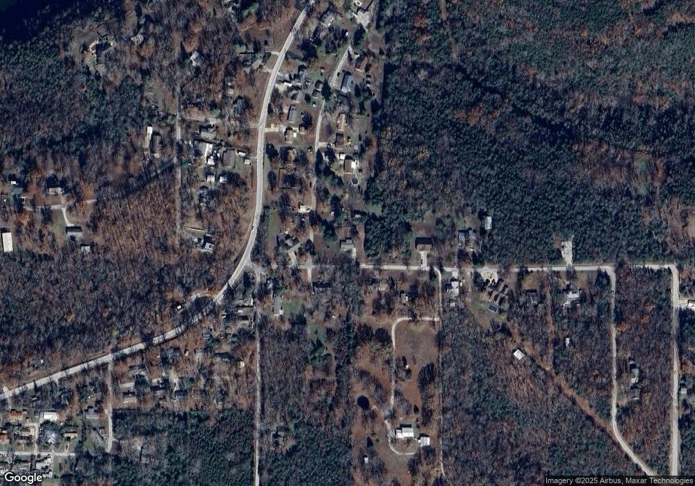
Map
Nearby Homes
- 249 Mount Vernon Rd
- 1538 State Highway Y
- 1370 State Highway Y
- 202 Cardinal Rd
- 136 Cook Rd
- 149 & 155 Parmenter Ln
- 189 Harvard Dr
- 425 Edgewater Beach Cir
- 145 Snapper St
- 151 Turtle Ridge Dr
- 3 Lookout Rd
- 221 Turtle Ridge Dr
- 201 Turtle Ridge Dr
- 191 Turtle Ridge Dr
- 181 Turtle Ridge Dr
- 211 Turtle Ridge Dr
- 161 Turtle Ridge Dr
- 2 Lookout
- 5 Turtle Ridge Dr
- 1 Lookout
- 204 Curtis Dr
- 146 Curtis Dr
- 137 Mnt Vernon Rd
- 149 Mount Vernon Rd
- 142 Sunset Dr
- 123 Curtis Dr
- 137 Mount Vernon Rd
- 268 Curtis Dr
- 255 Curtis Dr
- 1799 State Highway Y
- 180 Sunset Dr
- 169 Sunset Dr
- 000 Curtis Dr
- 291 Curtis Dr
- Tbd Sunset Dr
- 193 Oak Dr
- 193 Oak Dr
- 310 Curtis Dr
- 1669 State Highway Y
- 194 Sunset Dr
Your Personal Tour Guide
Ask me questions while you tour the home.