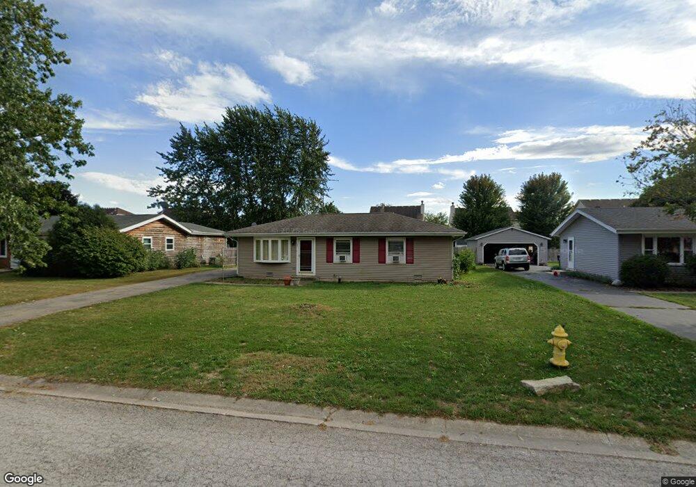
181 Dolores St Unit 2 Oswego, IL 60543
Northwest Oswego NeighborhoodEstimated Value: $272,000 - $303,000
3
Beds
1
Bath
1,008
Sq Ft
$284/Sq Ft
Est. Value
About This Home
This home is located at 181 Dolores St Unit 2, Oswego, IL 60543 and is currently estimated at $286,194, approximately $283 per square foot. 181 Dolores St Unit 2 is a home located in Kendall County with nearby schools including Fox Chase Elementary School, Traughber Junior High School, and Oswego High School.
Ownership History
Date
Name
Owned For
Owner Type
Purchase Details
Closed on
Jun 22, 2000
Sold by
Lewis Eddie E and Lewis Bonnie J
Bought by
Allen Robert and Allen Gretchen
Current Estimated Value
Home Financials for this Owner
Home Financials are based on the most recent Mortgage that was taken out on this home.
Original Mortgage
$99,750
Outstanding Balance
$36,217
Interest Rate
8.64%
Estimated Equity
$249,977
Purchase Details
Closed on
Aug 1, 1986
Create a Home Valuation Report for This Property
The Home Valuation Report is an in-depth analysis detailing your home's value as well as a comparison with similar homes in the area
Home Values in the Area
Average Home Value in this Area
Purchase History
| Date | Buyer | Sale Price | Title Company |
|---|---|---|---|
| Allen Robert | $105,000 | First American Title Ins Co | |
| -- | $53,500 | -- |
Source: Public Records
Mortgage History
| Date | Status | Borrower | Loan Amount |
|---|---|---|---|
| Open | Allen Robert | $99,750 |
Source: Public Records
Tax History Compared to Growth
Tax History
| Year | Tax Paid | Tax Assessment Tax Assessment Total Assessment is a certain percentage of the fair market value that is determined by local assessors to be the total taxable value of land and additions on the property. | Land | Improvement |
|---|---|---|---|---|
| 2024 | $5,342 | $73,490 | $18,767 | $54,723 |
| 2023 | $4,964 | $66,207 | $16,907 | $49,300 |
| 2022 | $4,964 | $61,876 | $15,801 | $46,075 |
| 2021 | $4,722 | $57,293 | $14,631 | $42,662 |
| 2020 | $4,614 | $55,624 | $14,205 | $41,419 |
| 2019 | $4,538 | $54,031 | $14,205 | $39,826 |
| 2018 | $3,794 | $45,980 | $12,088 | $33,892 |
| 2017 | $3,654 | $42,184 | $11,090 | $31,094 |
| 2016 | $3,582 | $40,955 | $10,767 | $30,188 |
| 2015 | $3,287 | $36,567 | $9,613 | $26,954 |
| 2014 | -- | $35,502 | $9,333 | $26,169 |
| 2013 | -- | $38,174 | $10,035 | $28,139 |
Source: Public Records
Map
Nearby Homes
- 102 Mary St
- 173 Dolores St
- 629 Manhattan Cir
- 409 Fawn Dr
- 435 Fawn Dr
- 2100 Light Rd Unit 109
- 2700 Light Rd Unit 205
- 466 Greenview Ln
- 1721 State Route 31
- 11-13 W Anchor Rd
- 7.43 Acres Vacant La State Route 31
- 5.43 B-3 Commercial State Route 31
- 238 Willowwood Dr
- 403 Lake Ct
- 505 Parkland Ct
- 135 River Mist Dr Unit 2
- 156 River Mist Dr
- Parcel 004 & 003 Illinois 25
- 147 Eisenhower Dr
- LOT 10 SW Station Dr
- 179 Dolores St
- 183 Dolores St
- 632 Manhattan Cir Unit 2
- 177 Dolores St
- 185 Dolores St
- 634 Manhattan Cir Unit 2
- 630 Manhattan Cir Unit 2
- 636 Manhattan Cir
- 628 Manhattan Cir Unit 2
- 174 Dolores St
- 178 Dolores St Unit 2
- 175 Dolores St
- 187 Dolores St
- 638 Manhattan Cir
- 626 Manhattan Cir
- 189 Dolores St
- 640 Manhattan Cir
- 624 Manhattan Cir
- 183 Charles Ct