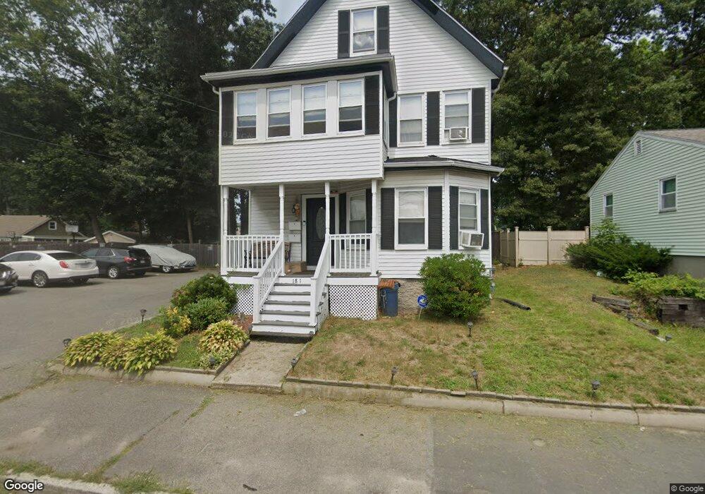
181 Forest Ave Brockton, MA 02301
Clifton Heights NeighborhoodEstimated Value: $665,953 - $723,000
4
Beds
2
Baths
2,193
Sq Ft
$320/Sq Ft
Est. Value
About This Home
This home is located at 181 Forest Ave, Brockton, MA 02301 and is currently estimated at $702,238, approximately $320 per square foot. 181 Forest Ave is a home located in Plymouth County with nearby schools including Gilmore Elementary School, John F. Kennedy Elementary School, and Davis K-8 School.
Ownership History
Date
Name
Owned For
Owner Type
Purchase Details
Closed on
Jul 22, 2003
Sold by
Robichaud Dorothy A
Bought by
Harris Eugene and Gurley-Harris Kimberly
Current Estimated Value
Home Financials for this Owner
Home Financials are based on the most recent Mortgage that was taken out on this home.
Original Mortgage
$270,750
Outstanding Balance
$115,803
Interest Rate
5.34%
Mortgage Type
Purchase Money Mortgage
Estimated Equity
$586,435
Purchase Details
Closed on
Jan 28, 2002
Sold by
Nickerson Robert B and Nickerson Joan M
Bought by
Robichaud Dorothy A
Home Financials for this Owner
Home Financials are based on the most recent Mortgage that was taken out on this home.
Original Mortgage
$157,600
Interest Rate
7.08%
Mortgage Type
Purchase Money Mortgage
Create a Home Valuation Report for This Property
The Home Valuation Report is an in-depth analysis detailing your home's value as well as a comparison with similar homes in the area
Home Values in the Area
Average Home Value in this Area
Purchase History
| Date | Buyer | Sale Price | Title Company |
|---|---|---|---|
| Harris Eugene | $285,000 | -- | |
| Robichaud Dorothy A | $197,000 | -- |
Source: Public Records
Mortgage History
| Date | Status | Borrower | Loan Amount |
|---|---|---|---|
| Open | Robichaud Dorothy A | $270,750 | |
| Previous Owner | Robichaud Dorothy A | $157,600 | |
| Previous Owner | Robichaud Dorothy A | $30,000 | |
| Previous Owner | Robichaud Dorothy A | $30,000 |
Source: Public Records
Tax History
| Year | Tax Paid | Tax Assessment Tax Assessment Total Assessment is a certain percentage of the fair market value that is determined by local assessors to be the total taxable value of land and additions on the property. | Land | Improvement |
|---|---|---|---|---|
| 2025 | $7,943 | $655,900 | $140,200 | $515,700 |
| 2024 | $7,351 | $611,600 | $140,200 | $471,400 |
| 2023 | $6,175 | $475,700 | $105,000 | $370,700 |
| 2022 | $6,110 | $437,400 | $95,400 | $342,000 |
| 2021 | $5,658 | $390,200 | $79,400 | $310,800 |
| 2020 | $5,475 | $361,400 | $74,200 | $287,200 |
| 2019 | $4,957 | $319,000 | $72,400 | $246,600 |
| 2018 | $4,752 | $295,900 | $72,400 | $223,500 |
| 2017 | $4,445 | $276,100 | $72,400 | $203,700 |
| 2016 | $4,236 | $244,000 | $70,200 | $173,800 |
| 2015 | $3,367 | $185,500 | $70,200 | $115,300 |
| 2014 | $3,343 | $184,400 | $70,200 | $114,200 |
Source: Public Records
Map
Nearby Homes
- 177 Forest Ave
- 193 Forest Ave
- 195 Forest Ave Unit 2
- 193 Forest Ave Unit 1
- 171 Forest Ave
- 171 Forest Ave Unit 2
- 171 Forest Ave Unit U#3
- 173 Forest Ave Unit First Floor
- 132 Foster St
- 126 Foster St
- 182 Forest Ave
- 3 Blaine St
- 197 Forest Ave
- 140 Foster St
- 167 Forest Ave
- 120 Foster St
- 186 Forest Ave
- 189 Brook Street Extension
- 192 Forest Ave
- 192 Forest Ave Unit 2
Your Personal Tour Guide
Ask me questions while you tour the home.