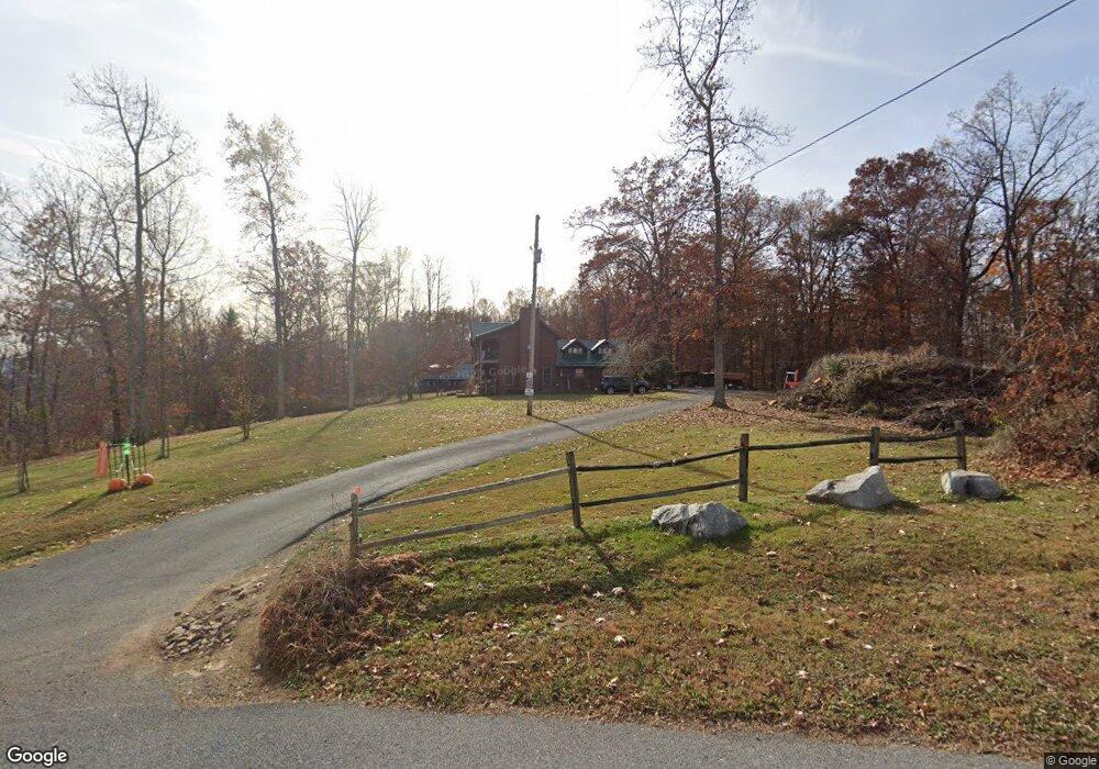
181 Frank Lowe Rd Jonesborough, TN 37659
Estimated Value: $600,000 - $675,000
4
Beds
4
Baths
3,087
Sq Ft
$204/Sq Ft
Est. Value
About This Home
This home is located at 181 Frank Lowe Rd, Jonesborough, TN 37659 and is currently estimated at $630,764, approximately $204 per square foot. 181 Frank Lowe Rd is a home located in Washington County with nearby schools including Jonesborough Elementary School, Jonesborough Middle School, and David Crockett High School.
Ownership History
Date
Name
Owned For
Owner Type
Purchase Details
Closed on
Apr 28, 2010
Sold by
Papas Konstantinos
Bought by
Street David Wayne
Current Estimated Value
Purchase Details
Closed on
Jul 9, 2003
Sold by
Timothy Shaw
Bought by
Konstanitinos Papas
Home Financials for this Owner
Home Financials are based on the most recent Mortgage that was taken out on this home.
Original Mortgage
$276,000
Interest Rate
4.53%
Purchase Details
Closed on
Jun 10, 1980
Bought by
Shaw Elaine
Create a Home Valuation Report for This Property
The Home Valuation Report is an in-depth analysis detailing your home's value as well as a comparison with similar homes in the area
Home Values in the Area
Average Home Value in this Area
Purchase History
| Date | Buyer | Sale Price | Title Company |
|---|---|---|---|
| Street David Wayne | $300,000 | -- | |
| Konstanitinos Papas | $345,000 | -- | |
| Shaw Elaine | $5,000 | -- |
Source: Public Records
Mortgage History
| Date | Status | Borrower | Loan Amount |
|---|---|---|---|
| Previous Owner | Shaw Elaine | $276,000 |
Source: Public Records
Tax History Compared to Growth
Tax History
| Year | Tax Paid | Tax Assessment Tax Assessment Total Assessment is a certain percentage of the fair market value that is determined by local assessors to be the total taxable value of land and additions on the property. | Land | Improvement |
|---|---|---|---|---|
| 2024 | $2,179 | $127,425 | $24,125 | $103,300 |
| 2022 | $1,597 | $74,300 | $20,250 | $54,050 |
| 2021 | $1,597 | $74,300 | $20,250 | $54,050 |
| 2020 | $1,597 | $74,300 | $20,250 | $54,050 |
| 2019 | $1,650 | $74,300 | $20,250 | $54,050 |
| 2018 | $1,650 | $69,350 | $17,500 | $51,850 |
| 2017 | $1,650 | $69,350 | $17,500 | $51,850 |
| 2016 | $1,650 | $69,350 | $17,500 | $51,850 |
| 2015 | $1,373 | $69,350 | $17,500 | $51,850 |
| 2014 | $1,373 | $69,350 | $17,500 | $51,850 |
Source: Public Records
Map
Nearby Homes
- 229 Ridgecrest Rd
- 397 Ridgecrest Rd
- 507 Emma Grace Dr
- 123 Hallborough Dr
- 168 County Farm Rd
- 146 Mulberry Bend
- 450 Mount Zion Church Rd
- 205 Reece Ct N
- Lot 7 Markwood Cir
- 2351 Highway 81 S
- 191 Hall Rd
- 2365 Highway 81 S
- 144 Forestview Dr
- 2376 Highway 81 S
- 522 Old State Route 34
- 24 Vesta Sue Ct
- 161 Cochran Rd
- 206 Persimmon Ln
- 639 Old State Route 34
- 164 Cochran Rd
- 174 Frank Lowe Rd
- 00 Frank Lowe Rd
- 0 Frank Lowe Rd
- 167 Frank Lowe Rd
- 166 Frank Lowe Rd
- 196 Frank Lowe Rd
- 196B Frank Lowe Rd
- 225 Frank Lowe Rd
- 1869 Highway 81 S
- 1881 Highway 81 S
- 148 Frank Lowe Rd
- 1883 Highway 81 S
- 135 Frank Lowe Rd
- 1867 Highway 81 S
- 220 Frank Lowe Rd
- 136 Frank Lowe Rd
- 309 Frank Lowe Rd
- 129 Frank Lowe Rd
- 1859 Highway 81 S
- 1895 Highway 81 S