181 Garden Branch Rd Franklin, NC 28734
Estimated Value: $312,000 - $400,000
3
Beds
2
Baths
1,303
Sq Ft
$272/Sq Ft
Est. Value
About This Home
This home is located at 181 Garden Branch Rd, Franklin, NC 28734 and is currently estimated at $353,774, approximately $271 per square foot. 181 Garden Branch Rd is a home located in Macon County with nearby schools including Cartoogechaye Elementary School, Mountain View Intermediate School, and Macon Middle School.
Ownership History
Date
Name
Owned For
Owner Type
Purchase Details
Closed on
Mar 19, 2024
Sold by
Cooper Rebecca H and Cooper Joseph M
Bought by
Hickory Hollow Nc Llc
Current Estimated Value
Purchase Details
Closed on
Jul 6, 2015
Sold by
Hursey Natalie A
Bought by
Cooper Rebecca H and Cooper Joseph M
Home Financials for this Owner
Home Financials are based on the most recent Mortgage that was taken out on this home.
Original Mortgage
$115,000
Interest Rate
3.92%
Mortgage Type
Purchase Money Mortgage
Purchase Details
Closed on
May 20, 2005
Sold by
Citifinancial Mortgage Co Inc
Bought by
Hursey Naialie
Create a Home Valuation Report for This Property
The Home Valuation Report is an in-depth analysis detailing your home's value as well as a comparison with similar homes in the area
Home Values in the Area
Average Home Value in this Area
Purchase History
| Date | Buyer | Sale Price | Title Company |
|---|---|---|---|
| Hickory Hollow Nc Llc | $275,000 | None Listed On Document | |
| Cooper Rebecca H | $115,000 | None Available | |
| Hursey Naialie | $100,000 | None Available | |
| Hursey Natalie | -- | None Available |
Source: Public Records
Mortgage History
| Date | Status | Borrower | Loan Amount |
|---|---|---|---|
| Previous Owner | Cooper Rebecca H | $115,000 |
Source: Public Records
Tax History Compared to Growth
Tax History
| Year | Tax Paid | Tax Assessment Tax Assessment Total Assessment is a certain percentage of the fair market value that is determined by local assessors to be the total taxable value of land and additions on the property. | Land | Improvement |
|---|---|---|---|---|
| 2025 | $904 | $246,120 | $70,080 | $176,040 |
| 2024 | $809 | $246,120 | $70,080 | $176,040 |
| 2023 | $797 | $216,180 | $40,040 | $176,140 |
| 2022 | $713 | $128,100 | $19,820 | $108,280 |
| 2021 | $713 | $128,100 | $19,820 | $108,280 |
| 2020 | $681 | $128,100 | $19,820 | $108,280 |
| 2018 | $703 | $145,760 | $24,480 | $121,280 |
| 2017 | $703 | $145,760 | $24,480 | $121,280 |
| 2016 | $703 | $145,760 | $24,480 | $121,280 |
| 2015 | $680 | $145,760 | $24,480 | $121,280 |
| 2014 | $655 | $174,150 | $36,150 | $138,000 |
| 2013 | -- | $174,150 | $36,150 | $138,000 |
Source: Public Records
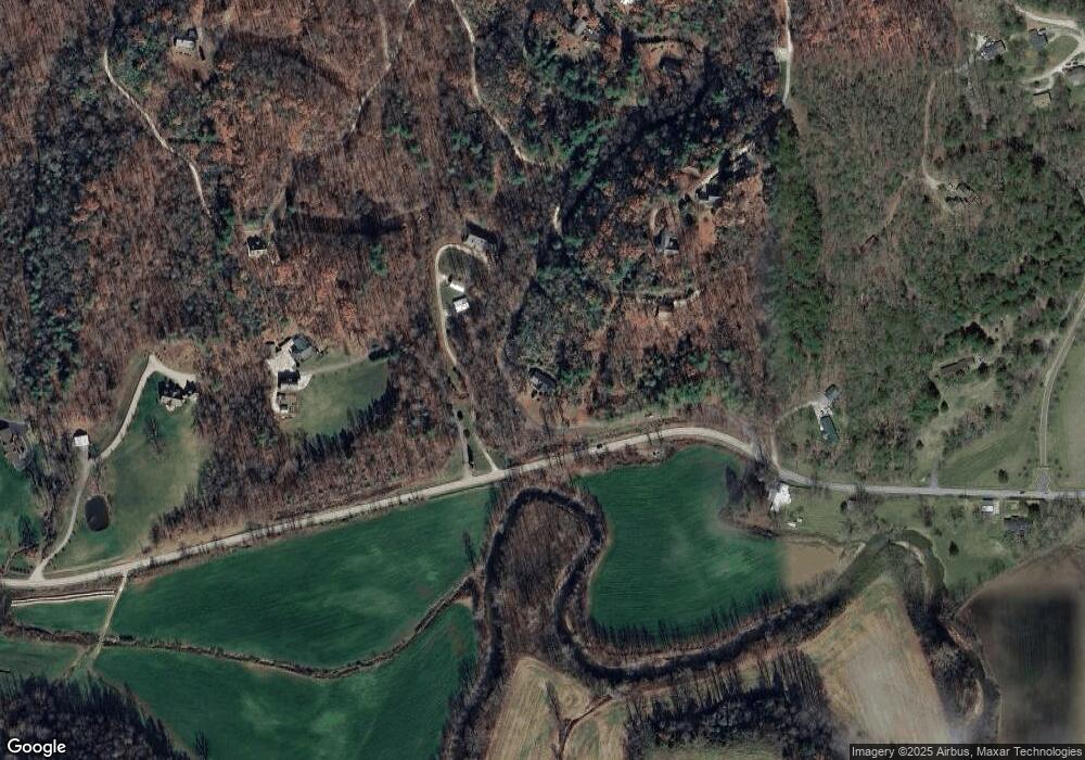
Map
Nearby Homes
- 110 Garden Knoll Rd
- 325 Garden Flats Rd
- Lot 36 Reserve Rd
- 54C Long Bow Ln
- 91A Woodside Villas Dr
- 144 Woodside Villas Dr
- 101B Woodside Villas Dr
- 299 Reserve Rd
- 1028 Carl Slagle Rd
- 45 Mountain View Villas
- 47 Emerald Hill
- 57 Willow Place
- 580 Country Club Dr
- 35C Mint Lake Ct W
- 00 Winding Way Dr
- Lot 45-47 Winding Way Dr Unit 45-47
- Lot 31 Winding Way Dr
- 180 Deer Meadow Rd
- 9999 Maxwell Home Rd
- 4445 Patton Rd
- 263 Garden Branch Rd
- 1311 Wayah Rd
- 257 Garden Ridge Rd
- 000 Garden Trail Lot 235
- 00 Garden Trail Lot 235
- 00 Garden Trail Unit LOT 235
- 000 Garden Trail Unit LOT 235
- 1325 Wayah Rd
- 1136 Wayah Rd
- 238 Garden Ridge Rd
- 249 Garden Ridge Rd
- 301 Garden Branch Rd
- 230 Garden Ridge Rd
- 356 Garden Cove Rd
- 0 Garden Ridge Rd
- 380 Garden Branch Rd
- 0 Garden Cove Rd
- 00 Garden Cove Rd
- 116 Enchanted Ln
- 450 Garden Branch Rd