Estimated Value: $601,000 - $689,297
3
Beds
3
Baths
4,858
Sq Ft
$134/Sq Ft
Est. Value
About This Home
This home is located at 181 Greenwich Plns Rd, Ware, MA 01082 and is currently estimated at $650,324, approximately $133 per square foot. 181 Greenwich Plns Rd is a home located in Hampshire County with nearby schools including Stanley M. Koziol Elementary School, Ware Middle School, and Ware Junior/Senior High School.
Ownership History
Date
Name
Owned For
Owner Type
Purchase Details
Closed on
May 15, 2019
Sold by
Stlaurent Richard A
Bought by
Moulton Kara M and Stlaurent Nicholas M
Current Estimated Value
Home Financials for this Owner
Home Financials are based on the most recent Mortgage that was taken out on this home.
Original Mortgage
$346,750
Outstanding Balance
$302,970
Interest Rate
4.1%
Mortgage Type
New Conventional
Estimated Equity
$347,354
Purchase Details
Closed on
Jun 29, 2012
Sold by
Stlaurent Patricia R
Bought by
Stlaurent Richard A
Home Financials for this Owner
Home Financials are based on the most recent Mortgage that was taken out on this home.
Original Mortgage
$314,000
Interest Rate
3.78%
Mortgage Type
New Conventional
Purchase Details
Closed on
Nov 21, 2001
Sold by
Desantis Tr Domenica M and Desantis Frank P
Bought by
St Laurent Patricia R and St Laurent Richard A
Create a Home Valuation Report for This Property
The Home Valuation Report is an in-depth analysis detailing your home's value as well as a comparison with similar homes in the area
Home Values in the Area
Average Home Value in this Area
Purchase History
| Date | Buyer | Sale Price | Title Company |
|---|---|---|---|
| Moulton Kara M | $365,000 | -- | |
| Moulton Kara M | $365,000 | -- | |
| Stlaurent Richard A | -- | -- | |
| Stlaurent Richard A | -- | -- | |
| Stlaurent Richard A | -- | -- | |
| St Laurent Patricia R | $10,000 | -- | |
| St Laurent Patricia R | $10,000 | -- |
Source: Public Records
Mortgage History
| Date | Status | Borrower | Loan Amount |
|---|---|---|---|
| Open | Moulton Kara M | $346,750 | |
| Closed | Moulton Kara M | $346,750 | |
| Previous Owner | Stlaurent Richard A | $314,000 | |
| Previous Owner | St Laurent Patricia R | $20,000 |
Source: Public Records
Tax History
| Year | Tax Paid | Tax Assessment Tax Assessment Total Assessment is a certain percentage of the fair market value that is determined by local assessors to be the total taxable value of land and additions on the property. | Land | Improvement |
|---|---|---|---|---|
| 2025 | $9,039 | $600,200 | $60,100 | $540,100 |
| 2024 | $8,629 | $528,400 | $56,600 | $471,800 |
| 2023 | $8,361 | $484,400 | $55,400 | $429,000 |
| 2022 | $8,150 | $421,400 | $51,200 | $370,200 |
| 2021 | $7,902 | $391,600 | $51,200 | $340,400 |
| 2020 | $7,629 | $369,800 | $51,200 | $318,600 |
| 2019 | $7,474 | $369,800 | $51,200 | $318,600 |
| 2018 | $7,302 | $352,600 | $50,000 | $302,600 |
| 2017 | $7,299 | $351,400 | $50,000 | $301,400 |
| 2016 | $7,102 | $351,400 | $50,000 | $301,400 |
| 2015 | $6,655 | $338,700 | $50,000 | $288,700 |
| 2014 | $6,478 | $353,800 | $54,300 | $299,500 |
Source: Public Records
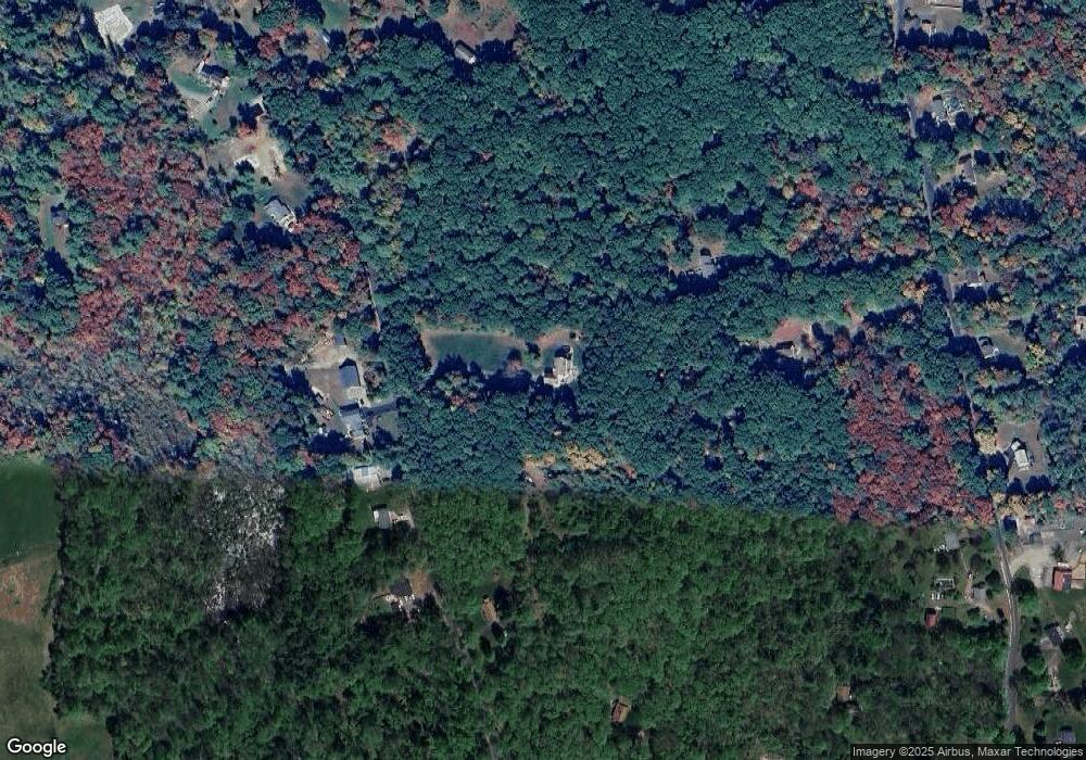
Map
Nearby Homes
- 91 Old Poor Farm Rd
- 267 Osborne Rd
- 6 Winslow Rd
- 84 Greenwich Rd
- 51 Monson Turnpike Rd Unit 1052
- 375 Belchertown Rd
- 194 Old Greenwich Plain Rd
- 24 Monson Turnpike Rd
- Lot 7 Monson Turnpike Rd
- Lot 1 Monson Turnpike Rd
- 0 Hardwick Pond Rd
- 0 Beach Rd
- 24 Clinton St
- Lot 16 Coldbrook Dr
- Lot 20 Coldbrook Dr
- Lot 22 Coldbrook Dr
- Lot 13 Coldbrook Dr
- Lot 25 Coldbrook Dr
- 14 Bellevue Ave
- 87 W Main St
- 50 Old Poor Farm Rd
- 184 Greenwich Plns Rd
- 180 Greenwich Plns Rd
- 46 Old Poor Farm Rd
- 175 Greenwich Plns Rd
- 178 Greenwich Plns Rd
- 178 Greenwich Plns Rd
- 188 Greenwich Plns Rd
- 188 Greenwich Plns Rd
- 171 Greenwich Plns Rd
- 199 Greenwich Plns Rd
- parcel 2 Doane Rd
- parcel 4 Doane Rd
- L48 Coffey Hill Rd
- Parcel D Bacon Rd
- 1 A & B Mirabile Dr
- 49 Old Poor Farm Rd
- 26 Old Poor Farm Rd
- 47 Old Poor Farm Rd
- 32 Old Poor Farm Rd
Your Personal Tour Guide
Ask me questions while you tour the home.