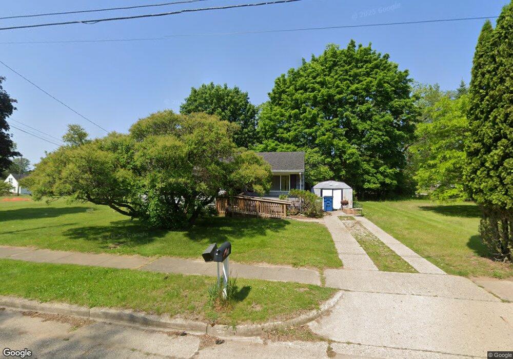
181 Hazel St Battle Creek, MI 49037
North Central NeighborhoodEstimated Value: $97,749 - $117,000
3
Beds
1
Bath
988
Sq Ft
$109/Sq Ft
Est. Value
About This Home
This home is located at 181 Hazel St, Battle Creek, MI 49037 and is currently estimated at $107,687, approximately $108 per square foot. 181 Hazel St is a home located in Calhoun County with nearby schools including Dudley School, Northwestern Middle School, and Battle Creek Central High School.
Ownership History
Date
Name
Owned For
Owner Type
Purchase Details
Closed on
Jun 8, 2023
Sold by
Bowser Sharon E
Bought by
Bowser Mark A and Bowser Marla
Current Estimated Value
Purchase Details
Closed on
Nov 27, 2018
Sold by
Bowser Sharon E and Estate Of Josephine Bowser
Bought by
Bowser Shanette M and Bowser Sharon E
Purchase Details
Closed on
Mar 1, 2018
Sold by
Bowser Sharon E and Bowser Sherry L
Bought by
Bowser Shanette M and Bowser Sharon E
Purchase Details
Closed on
Jan 20, 2017
Sold by
Bowser Shanette M
Bought by
Bowser Sherry L
Purchase Details
Closed on
Jul 9, 2016
Sold by
Bowser Sharon E and Bowser Josephine
Bought by
Rowley Shanette
Create a Home Valuation Report for This Property
The Home Valuation Report is an in-depth analysis detailing your home's value as well as a comparison with similar homes in the area
Home Values in the Area
Average Home Value in this Area
Purchase History
| Date | Buyer | Sale Price | Title Company |
|---|---|---|---|
| Bowser Mark A | -- | None Listed On Document | |
| Bowser Shanette M | -- | None Available | |
| Bowser Shanette M | -- | None Available | |
| Bowser Sherry L | -- | None Available | |
| Rowley Shanette | -- | None Available |
Source: Public Records
Tax History Compared to Growth
Tax History
| Year | Tax Paid | Tax Assessment Tax Assessment Total Assessment is a certain percentage of the fair market value that is determined by local assessors to be the total taxable value of land and additions on the property. | Land | Improvement |
|---|---|---|---|---|
| 2025 | -- | $30,800 | $0 | $0 |
| 2024 | $1,000 | $25,651 | $0 | $0 |
| 2023 | $923 | $21,947 | $0 | $0 |
| 2022 | $729 | $20,098 | $0 | $0 |
| 2021 | $870 | $18,651 | $0 | $0 |
| 2020 | $1,212 | $18,655 | $0 | $0 |
| 2019 | $1,199 | $18,032 | $0 | $0 |
| 2018 | $1,199 | $18,745 | $625 | $18,120 |
| 2017 | $1,069 | $18,007 | $0 | $0 |
| 2016 | $1,033 | $16,057 | $0 | $0 |
| 2015 | $507 | $19,955 | $2,948 | $17,007 |
| 2014 | $507 | $19,557 | $2,948 | $16,609 |
Source: Public Records
Map
Nearby Homes
- 52 Roseneath Ave
- 46 Walter Ave
- 5 Beglin Ct
- 216 Kendall St N
- 435 Kendall St N
- 161 Wilds Ave
- 266 North Ave
- 188 Roseneath Ave
- 224 Hubbard St
- 51 Latta St
- 273 Garfield Ave
- 16 Eagle St
- 706 Washington Ave N
- 192 Fremont St
- 323 Garfield Ave
- 69 Coolidge Ave W
- 253 Greenwood Ave
- 45 Central St
- 62 Coolidge Ave W
- 11 Coolidge Ave W
- 189 Hazel St
- 66 Risa Dr
- 53 Northside Dr E
- 79 Northside Dr E
- 182 Hanover St
- 186 Hanover St
- 70 Risa Dr
- 190 Hanover St
- 51 Northside Dr E
- 169 Hazel St
- 74 Risa Dr
- 70 Northside Dr E
- 95 Northside Dr E
- 194 Hanover St
- 71 Risa Dr
- 58 Northside Dr E
- 197 Hazel St
- 52 Northside Dr E
- 54 Northside Dr E
- 198 Hanover St