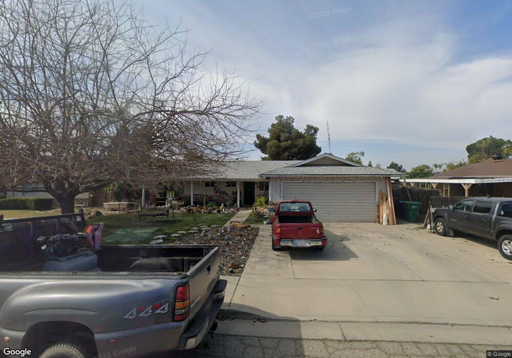
181 Lombardi St Porterville, CA 93257
Porterville Northwest NeighborhoodEstimated Value: $323,550 - $351,000
3
Beds
3
Baths
1,424
Sq Ft
$239/Sq Ft
Est. Value
About This Home
This home is located at 181 Lombardi St, Porterville, CA 93257 and is currently estimated at $340,388, approximately $239 per square foot. 181 Lombardi St is a home located in Tulare County with nearby schools including Burton Elementary School, Burton Middle School, and Porterville High School.
Ownership History
Date
Name
Owned For
Owner Type
Purchase Details
Closed on
May 3, 1996
Sold by
Jenkins Milo M
Bought by
Loeffler Nick A and Loeffler Nona
Current Estimated Value
Home Financials for this Owner
Home Financials are based on the most recent Mortgage that was taken out on this home.
Original Mortgage
$78,374
Outstanding Balance
$4,453
Interest Rate
7.97%
Mortgage Type
FHA
Estimated Equity
$335,935
Create a Home Valuation Report for This Property
The Home Valuation Report is an in-depth analysis detailing your home's value as well as a comparison with similar homes in the area
Home Values in the Area
Average Home Value in this Area
Purchase History
| Date | Buyer | Sale Price | Title Company |
|---|---|---|---|
| Loeffler Nick A | $89,000 | Chicago Title Co |
Source: Public Records
Mortgage History
| Date | Status | Borrower | Loan Amount |
|---|---|---|---|
| Open | Loeffler Nick A | $78,374 |
Source: Public Records
Tax History Compared to Growth
Tax History
| Year | Tax Paid | Tax Assessment Tax Assessment Total Assessment is a certain percentage of the fair market value that is determined by local assessors to be the total taxable value of land and additions on the property. | Land | Improvement |
|---|---|---|---|---|
| 2025 | $1,478 | $147,849 | $41,529 | $106,320 |
| 2024 | $1,478 | $144,951 | $40,715 | $104,236 |
| 2023 | $1,481 | $142,110 | $39,917 | $102,193 |
| 2022 | $1,422 | $139,325 | $39,135 | $100,190 |
| 2021 | $1,399 | $136,593 | $38,368 | $98,225 |
| 2020 | $1,373 | $135,193 | $37,975 | $97,218 |
| 2019 | $1,370 | $132,542 | $37,230 | $95,312 |
| 2018 | $1,308 | $129,943 | $36,500 | $93,443 |
| 2017 | $1,286 | $127,395 | $35,784 | $91,611 |
| 2016 | $1,224 | $124,897 | $35,082 | $89,815 |
| 2015 | $1,178 | $123,021 | $34,555 | $88,466 |
| 2014 | $1,178 | $120,611 | $33,878 | $86,733 |
Source: Public Records
Map
Nearby Homes
- 2179 W Della Ave
- 313 Balmoral Dr
- 2070 W Harrison Ave
- 100 S Westwood St Unit 52
- 100 S Westwood St Unit 1
- 100 S Westwood St Unit 17
- 100 S Westwood St Unit 97
- 100 S Westwood St
- 100 S Westwood St Unit Lot 105
- 100 S Westwood St Unit 110
- 100 S Westwood St Unit Lot 71
- 100 S Westwood St Unit 128
- 100 S Westwood St Unit 92
- 100 S Westwood St Unit 20
- 22346 W Thurman Ave
- 226 S Argyle Place
- 2300 W Morton Ave Unit 163
- 2300 W Morton Ave Unit 22
- 2300 W Morton Ave Unit 135
- 15247 Road 223
- 171 Lombardi St
- 191 Lombardi St
- 201 Lombardi St
- 180 Red Oak Dr
- 190 Red Oak Dr
- 161 Lombardi St
- 170 N Red Oak Dr
- 170 Red Oak Dr
- 170 N Lombardi St
- 180 Lombardi St
- 190 N Lombardi St
- 170 Lombardi St
- 190 Lombardi St
- 200 Red Oak Dr
- 160 N Lombardi St
- 160 Red Oak Dr
- 160 Lombardi St
- 200 N Lombardi St
- 200 Lombardi St
- 151 Lombardi St