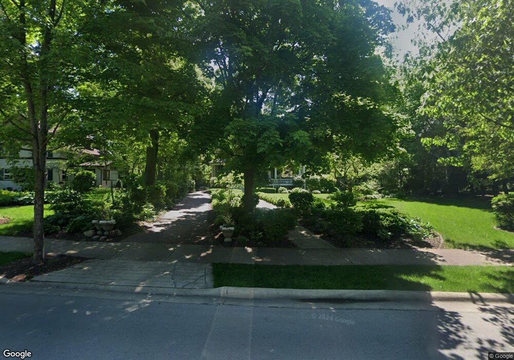
181 Longcommon Rd Riverside, IL 60546
Estimated Value: $1,044,000 - $1,240,000
5
Beds
4
Baths
4,551
Sq Ft
$255/Sq Ft
Est. Value
About This Home
This home is located at 181 Longcommon Rd, Riverside, IL 60546 and is currently estimated at $1,159,747, approximately $254 per square foot. 181 Longcommon Rd is a home located in Cook County with nearby schools including Central Elementary School, L J Hauser Jr High School, and Riverside Brookfield High School.
Ownership History
Date
Name
Owned For
Owner Type
Purchase Details
Closed on
Jan 22, 2007
Sold by
Linss Andrew H and Krueger Mary Kay
Bought by
Layng Patrick and Layng Karen
Current Estimated Value
Home Financials for this Owner
Home Financials are based on the most recent Mortgage that was taken out on this home.
Original Mortgage
$500,000
Outstanding Balance
$293,384
Interest Rate
6.16%
Mortgage Type
Unknown
Estimated Equity
$866,363
Purchase Details
Closed on
May 21, 1996
Sold by
Davies Peter F and Davies Wynne
Bought by
Linss Andrew H and Krueger Mary Kay
Home Financials for this Owner
Home Financials are based on the most recent Mortgage that was taken out on this home.
Original Mortgage
$420,000
Interest Rate
6.37%
Create a Home Valuation Report for This Property
The Home Valuation Report is an in-depth analysis detailing your home's value as well as a comparison with similar homes in the area
Home Values in the Area
Average Home Value in this Area
Purchase History
| Date | Buyer | Sale Price | Title Company |
|---|---|---|---|
| Layng Patrick | $1,320,000 | Git | |
| Linss Andrew H | $525,000 | -- |
Source: Public Records
Mortgage History
| Date | Status | Borrower | Loan Amount |
|---|---|---|---|
| Open | Layng Patrick | $500,000 | |
| Previous Owner | Linss Andrew H | $420,000 |
Source: Public Records
Tax History
| Year | Tax Paid | Tax Assessment Tax Assessment Total Assessment is a certain percentage of the fair market value that is determined by local assessors to be the total taxable value of land and additions on the property. | Land | Improvement |
|---|---|---|---|---|
| 2025 | $28,042 | $82,325 | $27,713 | $54,612 |
| 2024 | $28,042 | $82,325 | $27,713 | $54,612 |
| 2023 | $24,318 | $90,972 | $27,713 | $63,259 |
| 2022 | $24,318 | $66,910 | $22,045 | $44,865 |
| 2021 | $25,814 | $73,470 | $22,044 | $51,426 |
| 2020 | $26,466 | $77,447 | $22,044 | $55,403 |
| 2019 | $26,362 | $78,330 | $22,044 | $56,286 |
| 2018 | $27,335 | $83,452 | $22,044 | $61,408 |
| 2017 | $25,906 | $81,748 | $22,044 | $59,704 |
| 2016 | $27,038 | $79,274 | $18,895 | $60,379 |
| 2015 | $26,376 | $79,274 | $18,895 | $60,379 |
| 2014 | $25,942 | $79,274 | $18,895 | $60,379 |
| 2013 | $23,911 | $79,274 | $18,895 | $60,379 |
Source: Public Records
Map
Nearby Homes
- 269 Shenstone Rd
- 108 E Burlington St Unit B
- 231 Bartram Rd
- 10 E Burlington St Unit 2C
- 10 E Burlington St Unit 2B
- 369 Addison Rd
- 315 Bartram Rd
- 305 Desplaines Ave
- 101 Southcote Rd
- 220 Maplewood Rd
- 236 Maplewood Rd
- 78 Pine Ave
- 367 Bartram Rd
- 410 Repton Rd
- 475 Shenstone Rd Unit 104
- 475 Shenstone Rd Unit 304
- 475 Shenstone Rd Unit 303
- 176 Riverside Rd
- 484 Shenstone Rd
- 8117 W 30th St
- 177 Longcommon Rd
- 193 Longcommon Rd
- 165 Longcommon Rd
- 190 Addison Rd
- 190 Addison Rd
- 197 Longcommon Rd
- 180 Addison Rd
- 219 Shenstone Rd
- 174 Addison Rd
- 168 Addison Rd
- 156 Addison Rd
- 150 Addison Rd
- 221 Shenstone Rd
- 157 Longcommon Rd
- 194 Addison Rd
- 149 Longcommon Rd
- 227 Shenstone Rd
- 200 Addison Rd
- 178 Nuttall Rd
- 225 Longcommon Rd
Your Personal Tour Guide
Ask me questions while you tour the home.