181 Poor Rd New London, NH 03257
Estimated Value: $3,442,000 - $14,895,317
6
Beds
7
Baths
11,720
Sq Ft
$782/Sq Ft
Est. Value
About This Home
This home is located at 181 Poor Rd, New London, NH 03257 and is currently estimated at $9,168,659, approximately $782 per square foot. 181 Poor Rd is a home with nearby schools including Kearsarge Elementary School - New London, Kearsarge Regional Middle School, and Kearsarge Regional High School.
Ownership History
Date
Name
Owned For
Owner Type
Purchase Details
Closed on
Apr 27, 2012
Sold by
Kinne Remsen M 3Rd Est
Bought by
Beaconwood Rt
Current Estimated Value
Create a Home Valuation Report for This Property
The Home Valuation Report is an in-depth analysis detailing your home's value as well as a comparison with similar homes in the area
Home Values in the Area
Average Home Value in this Area
Purchase History
| Date | Buyer | Sale Price | Title Company |
|---|---|---|---|
| Beaconwood Rt | $4,500,000 | -- |
Source: Public Records
Tax History Compared to Growth
Tax History
| Year | Tax Paid | Tax Assessment Tax Assessment Total Assessment is a certain percentage of the fair market value that is determined by local assessors to be the total taxable value of land and additions on the property. | Land | Improvement |
|---|---|---|---|---|
| 2024 | $124,128 | $10,691,500 | $5,864,400 | $4,827,100 |
| 2023 | $115,575 | $10,691,500 | $5,864,400 | $4,827,100 |
| 2022 | $116,525 | $7,347,100 | $3,413,400 | $3,933,700 |
| 2021 | $113,072 | $7,347,100 | $3,413,400 | $3,933,700 |
| 2020 | $109,766 | $7,347,100 | $3,413,400 | $3,933,700 |
| 2019 | $108,076 | $7,347,100 | $3,413,400 | $3,933,700 |
| 2018 | $116,406 | $7,409,700 | $3,330,700 | $4,079,000 |
| 2017 | $116,484 | $7,275,700 | $3,330,700 | $3,945,000 |
| 2016 | $93,577 | $5,971,700 | $3,330,700 | $2,641,000 |
| 2015 | $63,345 | $4,100,000 | $3,330,700 | $769,300 |
| 2014 | $62,771 | $4,100,000 | $3,330,700 | $769,300 |
| 2013 | $57,795 | $3,840,200 | $2,761,500 | $1,078,700 |
Source: Public Records
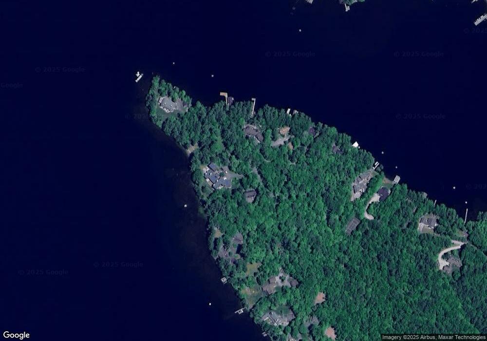
Map
Nearby Homes
- 617 & 619 Route 103a Map 91 Lot 37 38
- 000 Farwell Ln Unit 17
- 26 Otterville Rd
- 195 Pine Hill Rd
- 106-23 Fieldstone Ln
- 273 Forest Acres Rd
- 10 Highland Ridge Rd
- 770 Jobs Creek Rd
- 1024 Lake
- 1279 Route 11
- 0 Prospect Hill Rd
- 435 Messer Hill Rd
- 0 Newport Rd Unit 10
- 0 Little Lake Sunapee Rd Unit 40 4989636
- 253 Lake Ave
- Lot 39 Sunny Ln
- 71 Hilltop Place
- 14 Lake Ave Unit 1
- 57 Sunny Ln
- 8 Stoney Brook Rd
- 231 Poor Rd
- 242 Poor Rd
- 224 Poor Rd
- 212 Poor Rd
- 208 Poor Rd
- 177 Poor Rd
- 278 Poor Rd
- 159 Poor Rd
- 178 Poor Rd
- 157 Poor Rd
- 138 Herrick Cove Ln
- 191 Sunset Shore
- 122 Herrick Cove Ln
- 177 Sunset Shores
- 112 Herrick Cove Ln
- 316 Route 103a
- 91 Herrick Cove Ln
- 45 Pilothouse Rd
- 149 Sunset Shore
- 0 Herrick Cove Ln