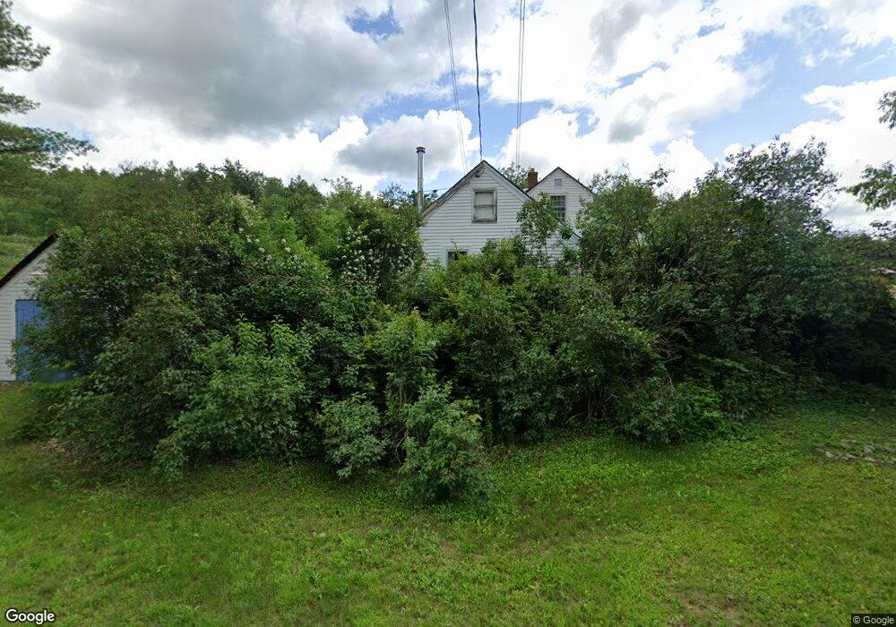
181 Surry Rd Gilsum, NH 03448
Estimated Value: $314,688 - $374,000
2
Beds
1
Bath
1,434
Sq Ft
$234/Sq Ft
Est. Value
About This Home
This home is located at 181 Surry Rd, Gilsum, NH 03448 and is currently estimated at $335,672, approximately $234 per square foot. 181 Surry Rd is a home located in Cheshire County with nearby schools including Gilsum STEAM Academy.
Ownership History
Date
Name
Owned For
Owner Type
Purchase Details
Closed on
Jun 9, 2005
Sold by
Commoss David T
Bought by
Coty Thomas J and Coty Kristin K
Current Estimated Value
Home Financials for this Owner
Home Financials are based on the most recent Mortgage that was taken out on this home.
Original Mortgage
$217,500
Outstanding Balance
$42,992
Interest Rate
6%
Mortgage Type
Adjustable Rate Mortgage/ARM
Estimated Equity
$292,680
Purchase Details
Closed on
Apr 13, 2005
Sold by
Commoss David Theodore
Bought by
Gage Verne A and Gage Donna V
Home Financials for this Owner
Home Financials are based on the most recent Mortgage that was taken out on this home.
Original Mortgage
$217,500
Outstanding Balance
$42,992
Interest Rate
6%
Mortgage Type
Adjustable Rate Mortgage/ARM
Estimated Equity
$292,680
Create a Home Valuation Report for This Property
The Home Valuation Report is an in-depth analysis detailing your home's value as well as a comparison with similar homes in the area
Home Values in the Area
Average Home Value in this Area
Purchase History
| Date | Buyer | Sale Price | Title Company |
|---|---|---|---|
| Coty Thomas J | $229,000 | -- | |
| Gage Verne A | $10,000 | -- |
Source: Public Records
Mortgage History
| Date | Status | Borrower | Loan Amount |
|---|---|---|---|
| Open | Gage Verne A | $78,451 | |
| Open | Gage Verne A | $217,500 |
Source: Public Records
Tax History Compared to Growth
Tax History
| Year | Tax Paid | Tax Assessment Tax Assessment Total Assessment is a certain percentage of the fair market value that is determined by local assessors to be the total taxable value of land and additions on the property. | Land | Improvement |
|---|---|---|---|---|
| 2024 | $4,462 | $306,902 | $99,502 | $207,400 |
| 2023 | $4,188 | $160,886 | $56,586 | $104,300 |
| 2022 | $3,795 | $161,026 | $56,726 | $104,300 |
| 2021 | $3,738 | $161,125 | $56,825 | $104,300 |
| 2020 | $4,151 | $161,218 | $56,918 | $104,300 |
| 2019 | $4,515 | $161,187 | $56,887 | $104,300 |
| 2018 | $3,580 | $133,996 | $42,596 | $91,400 |
| 2017 | $3,860 | $134,077 | $42,677 | $91,400 |
| 2016 | $3,053 | $134,090 | $42,690 | $91,400 |
Source: Public Records
Map
Nearby Homes
- 00 High St Unit 1
- 101 Vessel Rock Rd
- 17 Dort Rd
- 28 Village Rd
- 16 Nash Corner Rd
- 29 Nash Corner Rd
- 0 Teela Dr Unit 5037010
- 33 Maclean Rd
- 225B Belvedere Rd
- 0 Old Walpole Rd Unit 1
- 0 Old Walpole Rd Unit 5042168
- 0 Old Gilsum Rd Unit 5034729
- 101 Gilsum Rd
- Lot 4 Belvedere Rd
- 00 Alstead Center Rd
- 32 Blueberry Hill Ln
- 363 March Hill Rd
- Lot 53 Apple Hill Rd
- 105 South Rd
- 1144 County Rd