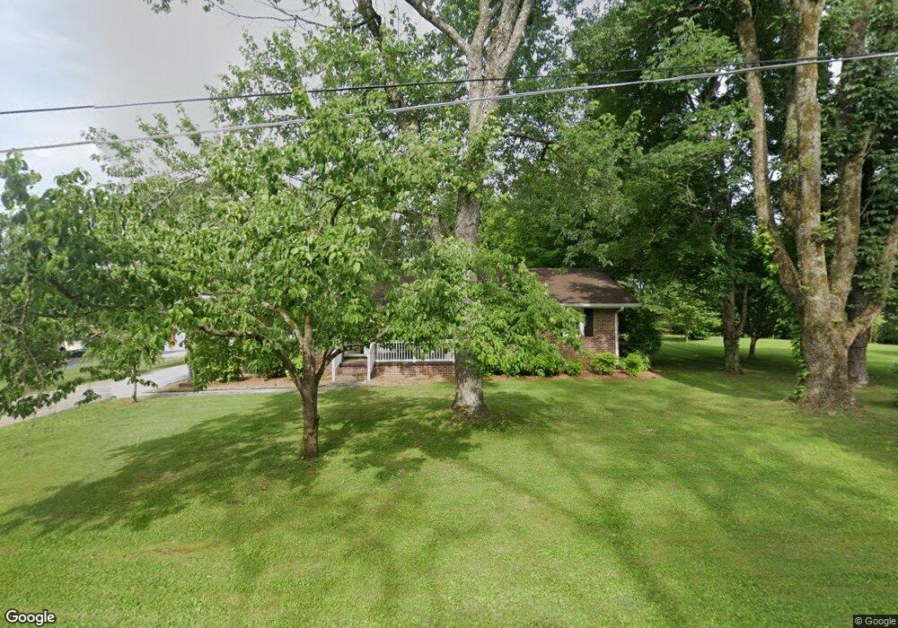
181 Walnut Ln Manchester, TN 37355
Estimated Value: $240,410 - $328,000
3
Beds
2
Baths
1,512
Sq Ft
$194/Sq Ft
Est. Value
About This Home
This home is located at 181 Walnut Ln, Manchester, TN 37355 and is currently estimated at $293,603, approximately $194 per square foot. 181 Walnut Ln is a home located in Coffee County with nearby schools including Westwood Middle School and Temple Baptist Christian School.
Ownership History
Date
Name
Owned For
Owner Type
Purchase Details
Closed on
Jan 10, 2013
Sold by
Mcmahan James H
Bought by
Kistler Nathan and Kistler Mary
Current Estimated Value
Home Financials for this Owner
Home Financials are based on the most recent Mortgage that was taken out on this home.
Original Mortgage
$119,387
Outstanding Balance
$82,971
Interest Rate
3.36%
Mortgage Type
Commercial
Estimated Equity
$210,632
Purchase Details
Closed on
Oct 8, 1993
Bought by
Mcmahan James H Laura Jo
Create a Home Valuation Report for This Property
The Home Valuation Report is an in-depth analysis detailing your home's value as well as a comparison with similar homes in the area
Home Values in the Area
Average Home Value in this Area
Purchase History
| Date | Buyer | Sale Price | Title Company |
|---|---|---|---|
| Kistler Nathan | $117,000 | -- | |
| Mcmahan James H Laura Jo | $63,500 | -- |
Source: Public Records
Mortgage History
| Date | Status | Borrower | Loan Amount |
|---|---|---|---|
| Open | Kistler Nathan | $119,387 |
Source: Public Records
Tax History Compared to Growth
Tax History
| Year | Tax Paid | Tax Assessment Tax Assessment Total Assessment is a certain percentage of the fair market value that is determined by local assessors to be the total taxable value of land and additions on the property. | Land | Improvement |
|---|---|---|---|---|
| 2024 | $1,244 | $29,525 | $3,000 | $26,525 |
| 2023 | $1,244 | $29,525 | $0 | $0 |
| 2022 | $1,071 | $29,525 | $3,000 | $26,525 |
| 2021 | $1,065 | $23,250 | $2,500 | $20,750 |
| 2020 | $1,065 | $23,250 | $2,500 | $20,750 |
| 2019 | $1,065 | $23,250 | $2,500 | $20,750 |
| 2018 | $1,065 | $23,250 | $2,500 | $20,750 |
| 2017 | $1,184 | $22,575 | $2,500 | $20,075 |
| 2016 | $1,184 | $22,575 | $2,500 | $20,075 |
| 2015 | $1,184 | $22,575 | $2,500 | $20,075 |
| 2014 | $1,184 | $22,566 | $0 | $0 |
Source: Public Records
Map
Nearby Homes
- 107 Grace Ct
- 416 Powers Rd
- 537 Shelton Rd
- 608 Henley St
- 515 Mckellar Dr
- 390 Oak Hollow Rd
- 793 Old Bushy Branch Rd
- 602 Johnson St
- 605 Johnson St
- 223 Duck River Rd
- 1610 Summer St
- 1203 Woodland Dr
- 1014 Hills Chapel Rd
- 113 Creek Wood Rd
- 1005 Thoma St
- 248 Doak Rd
- 711 Lowry St
- 802 Lowry St
- 1005 Keylon St
- 141 Doak Rd
- 157 Walnut Ln
- 264 Grass Land St
- 269 Grass Land St
- 125 Walnut Ln
- 255 Grass Land St
- 236 Grass Land St
- 107 Grace Ct
- 235 Grass Land St
- 103 Walnut Ln
- 218 Grass Land St
- 170 Bob White Dr
- 129 Bob White Dr
- 115 Grace Ct
- 217 Grass Land St
- 99 Grace Ct
- 99 Grace Ct
- 115 Grace Ct
- 83 Walnut Ln
- 186 Grass Land St
- 133 Grace Ct