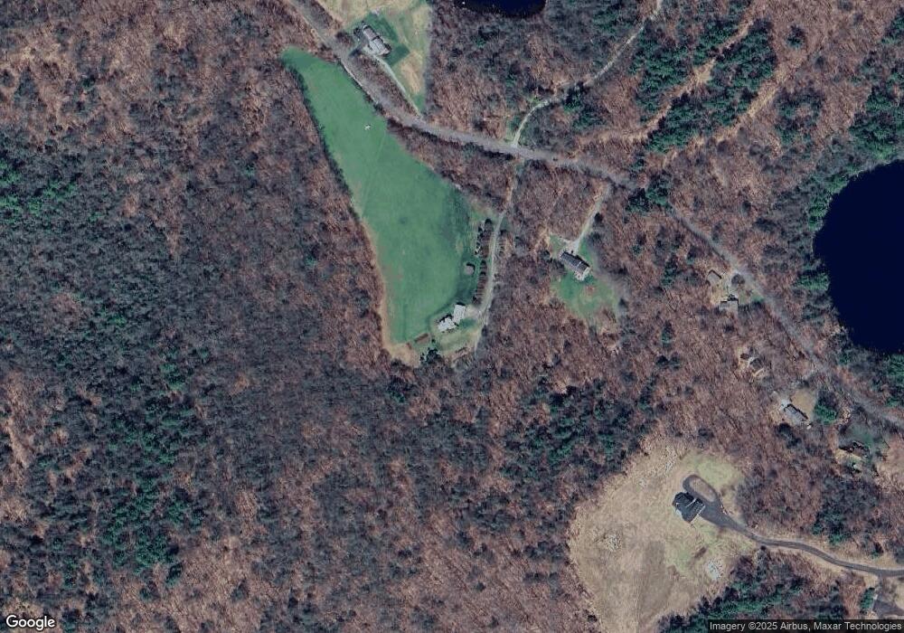
181 West Rd Winsted, CT 06098
Estimated Value: $475,000 - $497,967
3
Beds
3
Baths
1,888
Sq Ft
$258/Sq Ft
Est. Value
About This Home
This home is located at 181 West Rd, Winsted, CT 06098 and is currently estimated at $486,484, approximately $257 per square foot. 181 West Rd is a home located in Litchfield County.
Ownership History
Date
Name
Owned For
Owner Type
Purchase Details
Closed on
May 13, 2024
Sold by
Reller Collen E
Bought by
Reller William A
Current Estimated Value
Purchase Details
Closed on
Jun 14, 1996
Sold by
Larsen Elin E
Bought by
Reller William A
Home Financials for this Owner
Home Financials are based on the most recent Mortgage that was taken out on this home.
Original Mortgage
$153,400
Interest Rate
7.13%
Mortgage Type
Purchase Money Mortgage
Create a Home Valuation Report for This Property
The Home Valuation Report is an in-depth analysis detailing your home's value as well as a comparison with similar homes in the area
Home Values in the Area
Average Home Value in this Area
Purchase History
| Date | Buyer | Sale Price | Title Company |
|---|---|---|---|
| Reller William A | -- | None Available | |
| Reller William A | -- | None Available | |
| Reller William A | -- | None Available | |
| Reller William A | $50,000 | -- | |
| Reller William A | $50,000 | -- |
Source: Public Records
Mortgage History
| Date | Status | Borrower | Loan Amount |
|---|---|---|---|
| Previous Owner | Reller William A | $106,000 | |
| Previous Owner | Reller William A | $153,400 | |
| Previous Owner | Reller William A | $105,000 |
Source: Public Records
Tax History Compared to Growth
Tax History
| Year | Tax Paid | Tax Assessment Tax Assessment Total Assessment is a certain percentage of the fair market value that is determined by local assessors to be the total taxable value of land and additions on the property. | Land | Improvement |
|---|---|---|---|---|
| 2025 | $7,417 | $254,270 | $57,780 | $196,490 |
| 2024 | $6,926 | $254,270 | $57,780 | $196,490 |
| 2023 | $6,710 | $254,270 | $57,780 | $196,490 |
| 2022 | $6,326 | $188,610 | $43,570 | $145,040 |
| 2021 | $6,326 | $188,610 | $43,570 | $145,040 |
| 2020 | $6,326 | $188,610 | $43,570 | $145,040 |
| 2019 | $6,326 | $188,610 | $43,570 | $145,040 |
| 2018 | $6,326 | $188,610 | $43,570 | $145,040 |
| 2017 | $6,326 | $188,620 | $43,930 | $144,690 |
| 2016 | $6,326 | $188,620 | $43,930 | $144,690 |
| 2015 | $6,168 | $188,620 | $43,930 | $144,690 |
| 2014 | $6,019 | $188,620 | $43,930 | $144,690 |
Source: Public Records
Map
Nearby Homes
- 3824 Hall Meadow Rd
- 841 Winchester Rd
- 3748 Hall Meadow Rd
- 117 South Rd
- 00 Chapel Rd
- 440 Platt Hill Rd
- 127 Old Goshen Rd
- 393 Winchester Rd
- 469 Platt Hill Rd
- 0A Old Goshen Rd
- 0 Old Goshen Rd
- 148 Danbury Quarter Rd
- 649 Litchfield Rd
- 431 W Wakefield Blvd
- 721 Marshall Lake Rd
- 000000 Norfolk Rd
- 274 Cliffside Dr Unit 274
- 73 Norfolk Rd
- 390 Trailsend Dr Unit 390
- 389 Trailsend Dr
