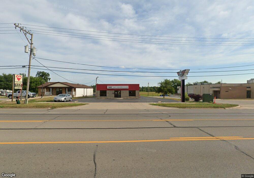
1810 Blairs Ferry Rd NE Cedar Rapids, IA 52402
Estimated Value: $717,054
--
Bed
--
Bath
5,640
Sq Ft
$127/Sq Ft
Est. Value
About This Home
This home is located at 1810 Blairs Ferry Rd NE, Cedar Rapids, IA 52402 and is currently estimated at $717,054, approximately $127 per square foot. 1810 Blairs Ferry Rd NE is a home located in Linn County with nearby schools including T.C. Cherry Elementary School, Nixon Elementary School, and Ponderosa Elementary School.
Ownership History
Date
Name
Owned For
Owner Type
Purchase Details
Closed on
Oct 28, 2014
Sold by
Janda Junetta and Janda Larry
Bought by
Import Specialties Inc
Current Estimated Value
Home Financials for this Owner
Home Financials are based on the most recent Mortgage that was taken out on this home.
Original Mortgage
$336,000
Outstanding Balance
$258,819
Interest Rate
4.23%
Mortgage Type
New Conventional
Estimated Equity
$458,235
Create a Home Valuation Report for This Property
The Home Valuation Report is an in-depth analysis detailing your home's value as well as a comparison with similar homes in the area
Home Values in the Area
Average Home Value in this Area
Purchase History
| Date | Buyer | Sale Price | Title Company |
|---|---|---|---|
| Import Specialties Inc | -- | -- |
Source: Public Records
Mortgage History
| Date | Status | Borrower | Loan Amount |
|---|---|---|---|
| Open | Import Specialties Inc | $336,000 |
Source: Public Records
Tax History Compared to Growth
Tax History
| Year | Tax Paid | Tax Assessment Tax Assessment Total Assessment is a certain percentage of the fair market value that is determined by local assessors to be the total taxable value of land and additions on the property. | Land | Improvement |
|---|---|---|---|---|
| 2025 | $14,096 | $512,700 | $157,200 | $355,500 |
| 2024 | $13,584 | $482,900 | $157,200 | $325,700 |
| 2023 | $13,584 | $482,900 | $157,200 | $325,700 |
| 2022 | $12,230 | $450,000 | $157,200 | $292,800 |
| 2021 | $12,646 | $718,000 | $157,200 | $560,800 |
| 2020 | $12,646 | $736,400 | $157,200 | $579,200 |
| 2019 | $12,074 | $446,800 | $157,200 | $289,600 |
| 2018 | $12,022 | $446,800 | $157,200 | $289,600 |
| 2017 | $12,963 | $376,900 | $134,700 | $242,200 |
| 2016 | $12,963 | $376,900 | $134,700 | $242,200 |
| 2015 | $13,226 | $384,922 | $134,730 | $250,192 |
| 2014 | $10,820 | $384,922 | $134,730 | $250,192 |
| 2013 | $13,072 | $384,922 | $134,730 | $250,192 |
Source: Public Records
Map
Nearby Homes
- 109 E Willman St
- 105 W Willman St
- 250 Cimarron Dr Unit 311
- 0 Council St NE
- 5455 Blairs Ferry Rd NE
- 327 Meadows Field Dr NE
- 1 N Center Point Rd
- 3 N Center Point Rd
- 1638 47th St NE
- 6505 Brookview Ln NE
- 1006 Messina Dr NE
- 1138 Messina Dr NE
- 114 Northwood Dr
- 6410 Creekside Dr NE Unit 1
- 6410 Creekside Dr NE
- 6430 Creekside Dr NE Unit 4
- 1200 Murray St NE Unit 11
- 915 Suburban St NE
- 1472 Tower Ln NE Unit 5
- 1450 Tower Ln NE
- 1834 Blairs Ferry Rd NE
- 1850 Blairs Ferry Rd NE
- 1925 Blairs Ferry Rd NE Unit Bldgs 1,2,3
- 1925 Blairs Ferry Rd NE Unit Bldgs 2 & 3
- 1925 Blairs Ferry Rd NE Unit Bldg 1
- 1925 Blairs Ferry Rd NE Unit Bldgs 1 & 2
- 1925 Blairs Ferry Rd NE
- 1.23 Acres Blairs Ferry Rd NE
- 1866 Blairs Ferry Rd NE
- 1725 Blairs Ferry Rd NE Unit 103
- 1918 Saint Andrews Ct NE
- 5527 Crane Ln NE Unit A
- 5527 Crane Ln NE
- 1601 Blairs Ferry Rd NE
- 305 C Ave Unit 1-4
- 305 C Ave Unit 4
- 305 C Ave Unit 3
- 305 C Ave Unit 2
- 305 C Ave Unit 1
- 215 C Ave