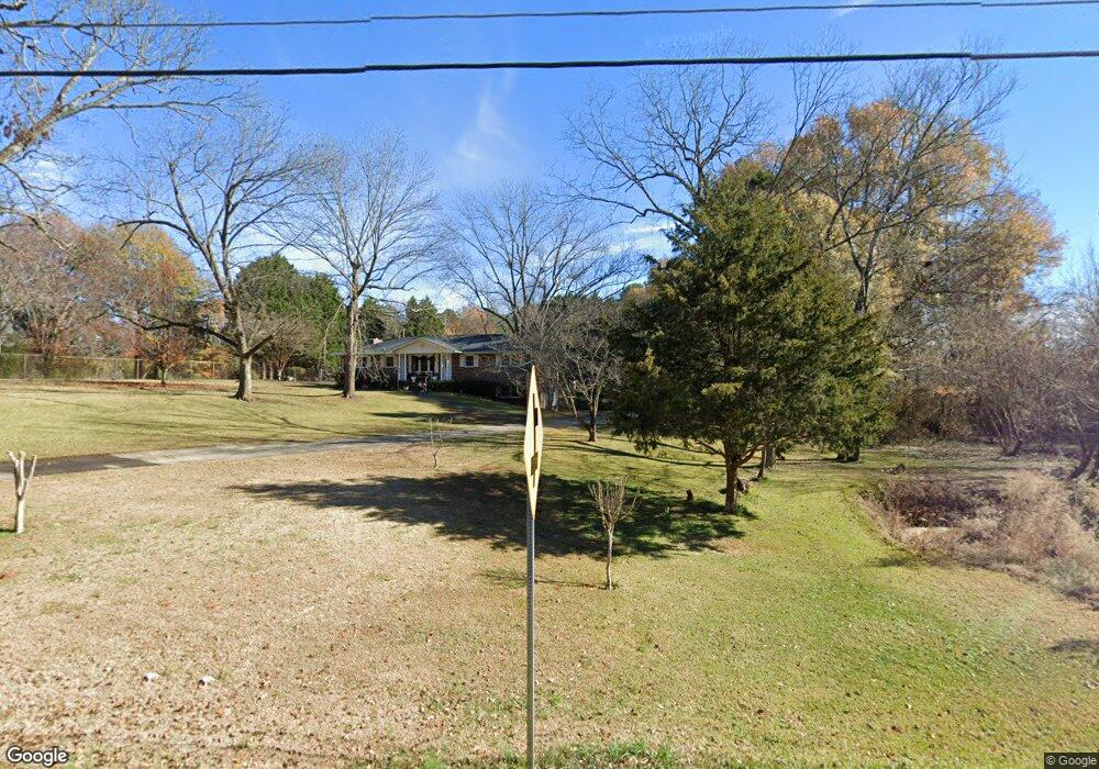
1810 E Calhoun St Anderson, SC 29621
Estimated Value: $300,134 - $381,000
Studio
--
Bath
2,302
Sq Ft
$142/Sq Ft
Est. Value
About This Home
This home is located at 1810 E Calhoun St, Anderson, SC 29621 and is currently estimated at $327,784, approximately $142 per square foot. 1810 E Calhoun St is a home located in Anderson County with nearby schools including Calhoun Academy of the Arts, Glenview Middle School, and T.L. Hanna High School.
Ownership History
Date
Name
Owned For
Owner Type
Purchase Details
Closed on
Oct 1, 2018
Sold by
Evans E Dianne
Bought by
Evans Dana Melissa and Snider Shana Evans
Current Estimated Value
Purchase Details
Closed on
Sep 7, 2018
Sold by
Williams Brenda K
Bought by
Hughes Jean C
Purchase Details
Closed on
Aug 31, 2018
Sold by
Estate Of Truman Lee Evans
Bought by
Evans Elsie Dianne and Evans Dianne S
Purchase Details
Closed on
Jun 22, 2018
Sold by
Evans E Dianne
Bought by
Evans Dana Melissa and Snider Shana Evan
Create a Home Valuation Report for This Property
The Home Valuation Report is an in-depth analysis detailing your home's value as well as a comparison with similar homes in the area
Home Values in the Area
Average Home Value in this Area
Purchase History
| Date | Buyer | Sale Price | Title Company |
|---|---|---|---|
| Evans Dana Melissa | -- | None Available | |
| Hughes Jean C | $155,000 | None Available | |
| Evans Elsie Dianne | -- | None Available | |
| Evans Dana Melissa | -- | None Available | |
| Evans Elsie Dianne | -- | None Available |
Source: Public Records
Tax History
| Year | Tax Paid | Tax Assessment Tax Assessment Total Assessment is a certain percentage of the fair market value that is determined by local assessors to be the total taxable value of land and additions on the property. | Land | Improvement |
|---|---|---|---|---|
| 2024 | $2,512 | $7,820 | $1,500 | $6,320 |
| 2023 | $2,512 | $7,820 | $1,500 | $6,320 |
| 2022 | $923 | $7,820 | $1,500 | $6,320 |
| 2021 | $825 | $6,680 | $1,110 | $5,570 |
| 2020 | $825 | $6,680 | $1,110 | $5,570 |
| 2019 | $825 | $6,680 | $1,110 | $5,570 |
| 2018 | $573 | $7,050 | $1,480 | $5,570 |
| 2017 | -- | $7,050 | $1,480 | $5,570 |
| 2016 | $2,755 | $9,680 | $1,930 | $7,750 |
| 2015 | $2,780 | $9,680 | $1,930 | $7,750 |
| 2014 | $2,735 | $9,680 | $1,930 | $7,750 |
Source: Public Records
Map
Nearby Homes
- 115 Dundee Ct
- 16 Oleander Dr
- 105 Ashton Ln
- 607 Laurel Creek Dr
- 116 Aycock Dr
- 2100 Marchbanks Ave
- 103 Charlestowne Way
- 1429 E Calhoun St
- 102 Olivarri Dr
- 121 Ventura St
- 102 Ventura St
- 116 Ventura St
- 122 Ventura St
- 902 Autumn Oaks
- 164 Amberwood Dr
- 153 Amberwood Dr
- 119 Amberwood Dr
- 2301 Rolling Green Rd
- 611 Heyward Rd
- 131 Life Style Ln Unit 17D
- 1810 E Calhoun St
- 1807 E Calhoun St
- 1807 E Calhoun St
- 1014 Bevlyn Rd
- 1813 E Calhoun St
- 1803 E Calhoun St
- 1803 E Calhoun St
- 6 Oleander Dr
- 1815 E Calhoun St
- 1801 E Calhoun St
- 8 Oleander Dr
- 1799 E Calhoun St
- 1022 Bevlyn Rd
- 401 Laurel Creek Dr
- 0 Highway 76 Unit 11241069
- 0 Highway 76 Unit 20241447
- 0 Highway 76 Unit 20241446
- 401 Laurel Creek
- 118A Ashton Ln
- 122 Ashton Ln