1810 High Point Rd Forest Hill, MD 21050
Estimated Value: $516,000 - $1,094,000
--
Bed
2
Baths
1,656
Sq Ft
$425/Sq Ft
Est. Value
About This Home
This home is located at 1810 High Point Rd, Forest Hill, MD 21050 and is currently estimated at $703,999, approximately $425 per square foot. 1810 High Point Rd is a home located in Harford County with nearby schools including Forest Lakes Elementary School, Fallston Middle School, and Fallston High School.
Ownership History
Date
Name
Owned For
Owner Type
Purchase Details
Closed on
Feb 11, 2004
Sold by
Morrow Karen M
Bought by
Koch Karen M and Koch Kurt Russell
Current Estimated Value
Purchase Details
Closed on
Feb 13, 2001
Sold by
Morrow James M
Bought by
Morrow Karen M
Purchase Details
Closed on
Nov 13, 1997
Sold by
Groh Judy Kay
Bought by
Morrow James M and Morrow Karen M
Create a Home Valuation Report for This Property
The Home Valuation Report is an in-depth analysis detailing your home's value as well as a comparison with similar homes in the area
Home Values in the Area
Average Home Value in this Area
Purchase History
| Date | Buyer | Sale Price | Title Company |
|---|---|---|---|
| Koch Karen M | -- | -- | |
| Morrow Karen M | -- | -- | |
| Morrow James M | $304,000 | -- |
Source: Public Records
Mortgage History
| Date | Status | Borrower | Loan Amount |
|---|---|---|---|
| Closed | Morrow James M | -- |
Source: Public Records
Tax History Compared to Growth
Tax History
| Year | Tax Paid | Tax Assessment Tax Assessment Total Assessment is a certain percentage of the fair market value that is determined by local assessors to be the total taxable value of land and additions on the property. | Land | Improvement |
|---|---|---|---|---|
| 2025 | $2,933 | $275,100 | $0 | $0 |
| 2024 | $2,933 | $263,600 | $139,700 | $123,900 |
| 2023 | $2,840 | $255,033 | $0 | $0 |
| 2022 | $2,746 | $246,467 | $0 | $0 |
| 2021 | $2,748 | $237,900 | $129,700 | $108,200 |
| 2020 | $2,748 | $232,967 | $0 | $0 |
| 2019 | $2,692 | $228,033 | $0 | $0 |
| 2018 | $2,611 | $223,100 | $139,700 | $83,400 |
| 2017 | $2,611 | $223,100 | $0 | $0 |
| 2016 | -- | $223,100 | $0 | $0 |
| 2015 | $3,238 | $223,100 | $0 | $0 |
| 2014 | $3,238 | $270,700 | $0 | $0 |
Source: Public Records
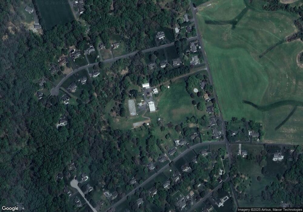
Map
Nearby Homes
- 1738 Shanwick Rd
- 1775 Pleasantville Rd
- 1701 Ingleside Rd
- 1932 Pleasantville Rd
- 1702 Lasalle Rd
- 600 Rock Spring Church Rd
- 2011 Fallsgrove Way
- 2033 Packard Dr
- 1605 Kiersten Ct
- 2401 Scotlon Ct
- 1705 Moonriver Ct
- 308 Rock Spring Church Rd
- 2286 Phillips Mill Rd
- Lot 5 Arden Dr
- 916 Delray Dr
- 2204 Arden Dr
- 2208 Arden Dr
- 1991 Gulfstream Ct
- 2326 Willow Vale Dr
- 1345 Cooptown Rd
- 1713 Cannongate Rd
- 1711 Cannongate Rd
- 1700 Boggs Rd
- 1808 High Point Rd
- 1806 High Point Rd
- 1709 Cannongate Rd
- 1702 Boggs Rd
- 1704 Boggs Rd
- 1804 High Point Rd
- 1706 Boggs Rd
- 1812 High Point Rd
- 1802 High Point Rd
- 1715 Cannongate Rd
- 1708 Boggs Rd
- 1814 High Point Rd
- 1710 Cannongate Rd
- 1800 High Point Rd
- 1708 Cannongate Rd
- 1717 Cannongate Rd
- 1701 Boggs Rd