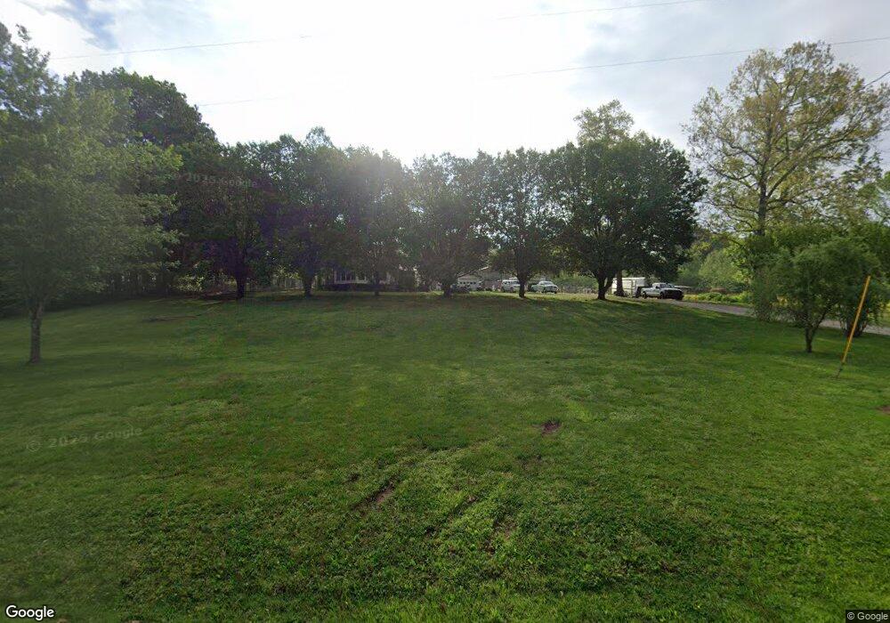
1810 Highway 190 Trezevant, TN 38258
Estimated Value: $174,000 - $235,000
--
Bed
2
Baths
1,804
Sq Ft
$111/Sq Ft
Est. Value
About This Home
This home is located at 1810 Highway 190, Trezevant, TN 38258 and is currently estimated at $201,090, approximately $111 per square foot. 1810 Highway 190 is a home located in Carroll County with nearby schools including West Carroll Primary School, West Carroll Elementary School, and West Carroll Junior/Senior High School.
Ownership History
Date
Name
Owned For
Owner Type
Purchase Details
Closed on
Mar 1, 2019
Sold by
Cole Ray
Bought by
Cole Susan J
Current Estimated Value
Home Financials for this Owner
Home Financials are based on the most recent Mortgage that was taken out on this home.
Original Mortgage
$81,000
Outstanding Balance
$71,213
Interest Rate
4.4%
Mortgage Type
New Conventional
Estimated Equity
$129,877
Purchase Details
Closed on
Oct 27, 2008
Sold by
Clark Randy D
Bought by
Cole Ray
Purchase Details
Closed on
Dec 4, 2003
Sold by
Mcalexander Thomas G
Bought by
Clark Randy D
Create a Home Valuation Report for This Property
The Home Valuation Report is an in-depth analysis detailing your home's value as well as a comparison with similar homes in the area
Home Values in the Area
Average Home Value in this Area
Purchase History
| Date | Buyer | Sale Price | Title Company |
|---|---|---|---|
| Cole Susan J | -- | -- | |
| Cole Ray | $97,000 | -- | |
| Clark Randy D | $95,000 | -- |
Source: Public Records
Mortgage History
| Date | Status | Borrower | Loan Amount |
|---|---|---|---|
| Open | Cole Susan J | $81,000 |
Source: Public Records
Tax History Compared to Growth
Tax History
| Year | Tax Paid | Tax Assessment Tax Assessment Total Assessment is a certain percentage of the fair market value that is determined by local assessors to be the total taxable value of land and additions on the property. | Land | Improvement |
|---|---|---|---|---|
| 2024 | $694 | $26,350 | $8,750 | $17,600 |
| 2023 | $694 | $26,350 | $8,750 | $17,600 |
| 2022 | $694 | $26,350 | $8,750 | $17,600 |
| 2021 | $370 | $26,150 | $8,750 | $17,400 |
| 2020 | $689 | $26,150 | $8,750 | $17,400 |
| 2019 | $723 | $24,925 | $7,300 | $17,625 |
| 2018 | $723 | $24,925 | $7,300 | $17,625 |
| 2017 | $723 | $24,925 | $7,300 | $17,625 |
| 2016 | $1,059 | $24,925 | $7,300 | $17,625 |
| 2015 | $747 | $24,925 | $7,300 | $17,625 |
| 2014 | $722 | $24,925 | $7,300 | $17,625 |
| 2013 | $722 | $23,359 | $0 | $0 |
Source: Public Records
Map
Nearby Homes
- 6430 Broad St N
- 215 Front St
- 5610 Main St E
- 10 Oak Ln
- 145 Skyline Dr
- 00 Clearview Ave
- 4385 Tennessee 190
- 0 Old Trezevant Rd
- 3310 Republican Grove Rd
- 3420 Highway 79 Ln
- 128 Smith Rd
- 3945 Old Trezevant Rd
- 652 Trezevant Rd
- 160 Peggy Ln
- 2345 Tennessee 190
- 3265 New Zion Rd
- 0 W Mitchell Rd Unit RRA45753
- 13820 Church St
- 535 Trezevant Hwy
- 1205 W Main St
- 1804 Highway 190
- 1990 Highway 190
- 1710 Highway 190
- 2160 Highway 190
- 1588 Highway 190
- 1585 Highway 190
- 2260 Highway 190
- 395 Warren Rd
- 480 Warren Rd
- 294 Walker Rd
- 1425 Highway 190
- 2390 Highway 190
- 441 Walker Rd
- 2415 Highway 190
- 1315 Highway 190
- 2340 Oak Grove Rd
- 1475 Oak Grove Rd
- 945 Oak Grove Rd
- 1480 Oak Grove Rd
- 2130 Oak Grove Rd
