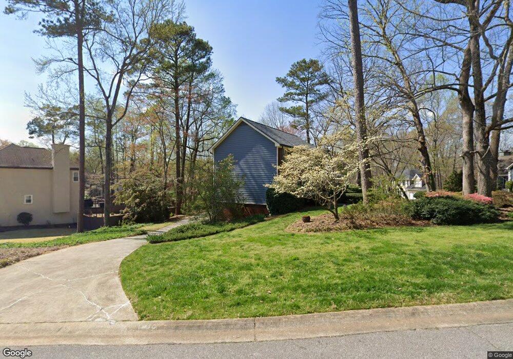
1810 Walker Ridge Dr SW Unit 4 Marietta, GA 30064
West Cobb NeighborhoodEstimated Value: $481,000 - $567,000
3
Beds
3
Baths
2,346
Sq Ft
$221/Sq Ft
Est. Value
About This Home
This home is located at 1810 Walker Ridge Dr SW Unit 4, Marietta, GA 30064 and is currently estimated at $517,798, approximately $220 per square foot. 1810 Walker Ridge Dr SW Unit 4 is a home located in Cobb County with nearby schools including Cheatham Hill Elementary School, Lovinggood Middle School, and Hillgrove High School.
Ownership History
Date
Name
Owned For
Owner Type
Purchase Details
Closed on
Feb 18, 1994
Sold by
Smith M Eddie Michelle C
Bought by
Roberson B Joe Geraldine
Current Estimated Value
Home Financials for this Owner
Home Financials are based on the most recent Mortgage that was taken out on this home.
Original Mortgage
$139,300
Interest Rate
7.02%
Create a Home Valuation Report for This Property
The Home Valuation Report is an in-depth analysis detailing your home's value as well as a comparison with similar homes in the area
Home Values in the Area
Average Home Value in this Area
Purchase History
| Date | Buyer | Sale Price | Title Company |
|---|---|---|---|
| Roberson B Joe Geraldine | $163,900 | -- |
Source: Public Records
Mortgage History
| Date | Status | Borrower | Loan Amount |
|---|---|---|---|
| Closed | Roberson B Joe Geraldine | $139,300 |
Source: Public Records
Tax History Compared to Growth
Tax History
| Year | Tax Paid | Tax Assessment Tax Assessment Total Assessment is a certain percentage of the fair market value that is determined by local assessors to be the total taxable value of land and additions on the property. | Land | Improvement |
|---|---|---|---|---|
| 2024 | $1,010 | $171,376 | $16,000 | $155,376 |
| 2023 | $804 | $171,376 | $16,000 | $155,376 |
| 2022 | $910 | $138,164 | $16,000 | $122,164 |
| 2021 | $869 | $124,344 | $16,000 | $108,344 |
| 2020 | $842 | $115,196 | $16,000 | $99,196 |
| 2019 | $827 | $110,220 | $16,000 | $94,220 |
| 2018 | $781 | $94,896 | $16,000 | $78,896 |
| 2017 | $691 | $94,896 | $16,000 | $78,896 |
| 2016 | $646 | $79,744 | $16,000 | $63,744 |
| 2015 | $689 | $79,744 | $16,000 | $63,744 |
| 2014 | $691 | $76,960 | $0 | $0 |
Source: Public Records
Map
Nearby Homes
- 2040 Hardwood Cir SW Unit 3
- 1960 McEachern Manor Dr SW
- 2261 Byron Ct SW
- 1985 Freestone Way
- 2002 Freestone Way
- 1952 Freestone Way
- Hillside Plan at Freestone Station
- Hendricks Plan at Freestone Station
- Antioch Plan at Freestone Station
- Hedgerow Plan at Freestone Station
- Monteluce Plan at Freestone Station
- Oakshire Plan at Freestone Station
- 2409 Caneridge Point SW
- 1946 MacLand Rd SW
- 2009 Freestone Way
- 1763 Benningfield Dr SW
- 2250 Caneridge Trail SW
- 0 Barwick Ct SW Unit 3151463
- 1814 Walker Ridge Dr SW
- 2183 Barwick Ct SW
- 2180 Barwick Ct SW
- 2182 Barwick Ct SW
- 1820 Walker Ridge Dr SW Unit 4
- 1813 Walker Ridge Dr SW
- 1811 Walker Ridge Dr SW
- 2185 Barwick Ct SW
- 1809 Walker Ridge Dr SW
- 1815 Walker Ridge Dr SW Unit 4
- 1822 Walker Ridge Dr SW Unit 4
- 2184 Barwick Ct SW
- 2161 Westbury Ct SW Unit 4
- 1807 Walker Ridge Dr SW
- 2187 Barwick Ct SW Unit 4
- 1817 Walker Ridge Dr SW
- 2163 Westbury Ct SW Unit 4
- 1821 Walker Ridge Dr SW
- 2186 Barwick Ct SW Unit 4