1811 Baltusrol Trail Unit 6A Duluth, GA 30097
Estimated Value: $877,000 - $991,000
5
Beds
5
Baths
3,733
Sq Ft
$247/Sq Ft
Est. Value
About This Home
This home is located at 1811 Baltusrol Trail Unit 6A, Duluth, GA 30097 and is currently estimated at $922,945, approximately $247 per square foot. 1811 Baltusrol Trail Unit 6A is a home located in Gwinnett County with nearby schools including Parsons Elementary School, Hull Middle School, and Peachtree Ridge High School.
Ownership History
Date
Name
Owned For
Owner Type
Purchase Details
Closed on
Jan 3, 2005
Sold by
John Wieland Homes & Neighborhoo
Bought by
Watkins Quintin and Watkins Margaret
Current Estimated Value
Home Financials for this Owner
Home Financials are based on the most recent Mortgage that was taken out on this home.
Original Mortgage
$54,990
Interest Rate
5.63%
Mortgage Type
New Conventional
Create a Home Valuation Report for This Property
The Home Valuation Report is an in-depth analysis detailing your home's value as well as a comparison with similar homes in the area
Home Values in the Area
Average Home Value in this Area
Purchase History
| Date | Buyer | Sale Price | Title Company |
|---|---|---|---|
| Watkins Quintin | $549,900 | -- |
Source: Public Records
Mortgage History
| Date | Status | Borrower | Loan Amount |
|---|---|---|---|
| Closed | Watkins Quintin | $54,990 | |
| Open | Watkins Quintin | $439,920 |
Source: Public Records
Tax History
| Year | Tax Paid | Tax Assessment Tax Assessment Total Assessment is a certain percentage of the fair market value that is determined by local assessors to be the total taxable value of land and additions on the property. | Land | Improvement |
|---|---|---|---|---|
| 2025 | $11,572 | $409,960 | $60,120 | $349,840 |
| 2024 | $10,374 | $340,240 | $76,000 | $264,240 |
| 2023 | $10,374 | $340,240 | $76,000 | $264,240 |
| 2022 | $9,330 | $290,600 | $56,000 | $234,600 |
| 2021 | $8,086 | $223,680 | $44,000 | $179,680 |
| 2020 | $8,139 | $223,680 | $44,000 | $179,680 |
| 2019 | $7,848 | $223,680 | $44,000 | $179,680 |
| 2018 | $7,678 | $216,040 | $40,000 | $176,040 |
| 2016 | $6,557 | $183,634 | $34,000 | $149,634 |
| 2015 | $7,788 | $216,040 | $40,000 | $176,040 |
| 2014 | $6,959 | $191,560 | $36,800 | $154,760 |
Source: Public Records
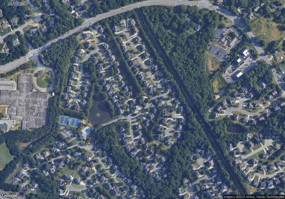
Map
Nearby Homes
- 1830 Briergate Dr
- 3088 Prestwyck Haven Dr
- 3280 Kates Way Unit 3
- 1667 Lake Louella Rd
- 1565 Briergate Dr
- 1619 Walden Pond Rd
- 2016 Parsons Ridge Cir
- 2017 Parsons Ridge Cir
- 1806 Asteria Ct
- 3505 Stately Oaks Ln Unit 3
- 3274 Broadfield Ct
- 1620 Belmont Hills Dr
- 3310 Danielle Way
- 1522 Catherine Ct
- 1585 Highland Farm Dr Unit 2
- 2382 Harpers Way
- 3476 Flycatcher Way
- 2761 Calloway Ct
- 2008 Hailston Dr
- 3476 Flycatchers Way
- 3277 Islesworth Trace Unit 249
- 3236 Birkdale Ave Unit 6A
- 3267 Isleworth Trace
- 3267 Islesworth Trace Unit 248
- 3267 Islesworth Trace
- 3287 Islesworth Trace Unit 2
- 3246 Birkdale Ave
- 3287 Isleworth Trace Unit 250
- 3287 Isleworth Trace
- 1818 Baltusrol Trail Unit 6A
- 3216 Birkdale Ave
- 3297 Islesworth Trace Unit 2A
- 1828 Baltusrol Trail
- 1839 Baltusrol Trail
- 3256 Birkdale Ave
- 3307 Islesworth Trace
- 1838 Baltusrol Trail
- 3284 Islesworth Trace
- 3257 Islesworth Trace Unit 2
- 3196 Birkdale Ave
Your Personal Tour Guide
Ask me questions while you tour the home.