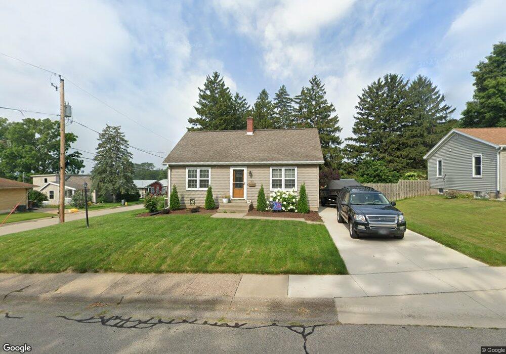
1811 Bunker Hill Rd Dubuque, IA 52001
Estimated Value: $276,074 - $287,000
3
Beds
4
Baths
1,792
Sq Ft
$157/Sq Ft
Est. Value
About This Home
This home is located at 1811 Bunker Hill Rd, Dubuque, IA 52001 and is currently estimated at $280,519, approximately $156 per square foot. 1811 Bunker Hill Rd is a home located in Dubuque County with nearby schools including Irving Elementary School, George Washington Middle School, and Dubuque Senior High School.
Ownership History
Date
Name
Owned For
Owner Type
Purchase Details
Closed on
Nov 23, 2020
Sold by
Lorenz Richard A and Lorenz Carol L
Bought by
Schumacher Karen A and Schumacher David L
Current Estimated Value
Home Financials for this Owner
Home Financials are based on the most recent Mortgage that was taken out on this home.
Original Mortgage
$146,900
Outstanding Balance
$106,107
Interest Rate
2.8%
Mortgage Type
New Conventional
Estimated Equity
$174,412
Create a Home Valuation Report for This Property
The Home Valuation Report is an in-depth analysis detailing your home's value as well as a comparison with similar homes in the area
Home Values in the Area
Average Home Value in this Area
Purchase History
| Date | Buyer | Sale Price | Title Company |
|---|---|---|---|
| Schumacher Karen A | $200,000 | None Available |
Source: Public Records
Mortgage History
| Date | Status | Borrower | Loan Amount |
|---|---|---|---|
| Open | Schumacher Karen A | $146,900 |
Source: Public Records
Tax History Compared to Growth
Tax History
| Year | Tax Paid | Tax Assessment Tax Assessment Total Assessment is a certain percentage of the fair market value that is determined by local assessors to be the total taxable value of land and additions on the property. | Land | Improvement |
|---|---|---|---|---|
| 2025 | $3,558 | $289,700 | $42,500 | $247,200 |
| 2024 | $3,558 | $257,700 | $38,400 | $219,300 |
| 2023 | $3,452 | $257,700 | $38,400 | $219,300 |
| 2022 | $3,382 | $213,440 | $36,420 | $177,020 |
| 2021 | $3,382 | $213,440 | $36,420 | $177,020 |
| 2020 | $3,414 | $191,980 | $34,400 | $157,580 |
| 2019 | $3,422 | $191,980 | $34,400 | $157,580 |
| 2018 | $3,368 | $184,000 | $32,380 | $151,620 |
| 2017 | $3,276 | $184,000 | $32,380 | $151,620 |
| 2016 | $3,208 | $169,620 | $32,380 | $137,240 |
| 2015 | $3,208 | $169,620 | $32,380 | $137,240 |
| 2014 | $3,072 | $166,930 | $32,380 | $134,550 |
Source: Public Records
Map
Nearby Homes
- 1896 Floraview Dr
- 1821 Glendale Ct
- 1949 Saint Ambrose St
- 1730 Chaney Rd
- 1568 Fairfax Ave
- 1650 Drexel Ave
- 2095 Mullin Rd
- 1395 Brown Ave
- 2625 New Haven St
- 1762 Churchill Dr
- 2035 Broadlawn Rd
- 1865 Wood St
- 130 Devon Dr
- 1735 Wood St
- 1455 Adair St
- 1425 Adair St
- 1790 Horizon Ct
- 1445 Wood St
- 3080 Saint Anne Dr
- 1993 Hale St
- 1835 Bunker Hill Rd
- 2455 Merfeld Ln
- 1795 Bunker Hill Rd
- 1841 Bunker Hill Rd
- 2450 Merfeld Ln
- 2456 Merfeld Ln
- 1810 Floraview Dr
- 1775 Bunker Hill Rd
- 1800 Floraview Dr
- 1820 Floraview Dr
- 2458 Merfeld Ln
- 1896 Finley St
- 1830 Floraview Dr
- 1890 Finley St
- 1780 Floraview Dr
- 1850 Bunker Hill Rd
- 1861 Bunker Hill Rd
- 1853 Finley St
- 1840 Floraview Dr
- 1740 Bunker Hill Rd