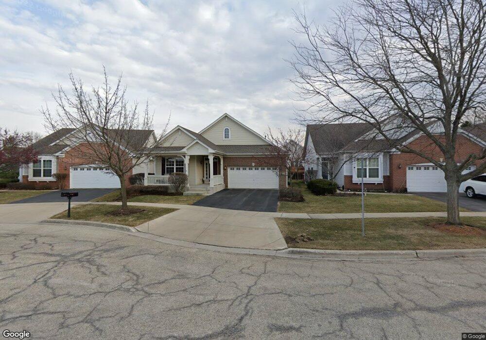
1811 Eton Dr Hoffman Estates, IL 60192
West Hoffman Estates NeighborhoodEstimated Value: $490,992 - $550,000
2
Beds
2
Baths
1,941
Sq Ft
$266/Sq Ft
Est. Value
About This Home
This home is located at 1811 Eton Dr, Hoffman Estates, IL 60192 and is currently estimated at $517,248, approximately $266 per square foot. 1811 Eton Dr is a home located in Cook County with nearby schools including Lincoln Elementary School, Larsen Middle School, and Elgin High School.
Ownership History
Date
Name
Owned For
Owner Type
Purchase Details
Closed on
May 7, 2015
Sold by
Mcquade Daniel J and Mcquade Nadine M
Bought by
Mcquade Daniel J and Daniel J Mcquade Living Trust
Current Estimated Value
Purchase Details
Closed on
Jul 14, 2004
Sold by
The Ryland Group Inc
Bought by
Mcquade Daniel J and Mcquade Nadine M
Home Financials for this Owner
Home Financials are based on the most recent Mortgage that was taken out on this home.
Original Mortgage
$50,000
Interest Rate
5.75%
Mortgage Type
Purchase Money Mortgage
Create a Home Valuation Report for This Property
The Home Valuation Report is an in-depth analysis detailing your home's value as well as a comparison with similar homes in the area
Home Values in the Area
Average Home Value in this Area
Purchase History
| Date | Buyer | Sale Price | Title Company |
|---|---|---|---|
| Mcquade Daniel J | -- | Attorney | |
| Mcquade Daniel J | $395,500 | -- |
Source: Public Records
Mortgage History
| Date | Status | Borrower | Loan Amount |
|---|---|---|---|
| Previous Owner | Mcquade Daniel J | $50,000 |
Source: Public Records
Tax History
| Year | Tax Paid | Tax Assessment Tax Assessment Total Assessment is a certain percentage of the fair market value that is determined by local assessors to be the total taxable value of land and additions on the property. | Land | Improvement |
|---|---|---|---|---|
| 2025 | $9,841 | $45,000 | $3,385 | $41,615 |
| 2024 | $9,841 | $38,000 | $7,000 | $31,000 |
| 2023 | $9,548 | $38,000 | $7,000 | $31,000 |
| 2022 | $9,548 | $38,000 | $7,000 | $31,000 |
| 2021 | $9,601 | $32,658 | $705 | $31,953 |
| 2020 | $9,576 | $32,658 | $705 | $31,953 |
| 2019 | $9,479 | $36,287 | $705 | $35,582 |
| 2018 | $8,869 | $31,828 | $564 | $31,264 |
| 2017 | $8,821 | $31,828 | $564 | $31,264 |
| 2016 | $8,811 | $31,828 | $564 | $31,264 |
| 2015 | $8,144 | $27,875 | $423 | $27,452 |
| 2014 | $8,036 | $27,875 | $423 | $27,452 |
| 2013 | $7,753 | $27,875 | $423 | $27,452 |
Source: Public Records
Map
Nearby Homes
- 1870 Hampshire Dr
- 1812 Kelberg Ave Unit 482
- 6085 Irene Dr
- 6131 Canterbury Ln Unit 281
- 1632 Acorn Dr
- 2221 Edgartown Ln
- 1190 Alpine Ln
- 1139 Ironwood Ct
- 5761 Providence Dr Unit 4
- 1385 Caribou Ln Unit 4
- 5670 Brentwood Dr Unit 5
- 12N100 Berner Dr
- 600 Countryfield Ln
- 1200 Deep Woods Dr
- 2140 Colchester Ave
- Vacant Lot Parcel 1 Congdon Ave
- 1294 Hunters Ridge E
- 1440 Eliot Trail
- 1089 Quaker Hill Ct Unit 711
- 860 Parkway Ave
Your Personal Tour Guide
Ask me questions while you tour the home.