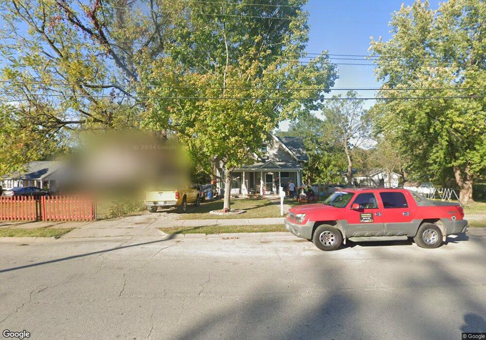
1811 Lucas St Muscatine, IA 52761
Estimated Value: $136,000 - $163,000
3
Beds
1
Bath
1,557
Sq Ft
$97/Sq Ft
Est. Value
About This Home
This home is located at 1811 Lucas St, Muscatine, IA 52761 and is currently estimated at $150,350, approximately $96 per square foot. 1811 Lucas St is a home located in Muscatine County with nearby schools including Franklin Elementary School, Susan Clark Junior High School, and Muscatine High School.
Ownership History
Date
Name
Owned For
Owner Type
Purchase Details
Closed on
Jul 27, 2009
Sold by
Yerington Brian L and Yerington Dana L
Bought by
Tordai Jozsef
Current Estimated Value
Home Financials for this Owner
Home Financials are based on the most recent Mortgage that was taken out on this home.
Original Mortgage
$69,600
Outstanding Balance
$46,136
Interest Rate
5.62%
Mortgage Type
New Conventional
Estimated Equity
$104,214
Create a Home Valuation Report for This Property
The Home Valuation Report is an in-depth analysis detailing your home's value as well as a comparison with similar homes in the area
Home Values in the Area
Average Home Value in this Area
Purchase History
| Date | Buyer | Sale Price | Title Company |
|---|---|---|---|
| Tordai Jozsef | $87,000 | None Available |
Source: Public Records
Mortgage History
| Date | Status | Borrower | Loan Amount |
|---|---|---|---|
| Open | Tordai Jozsef | $69,600 |
Source: Public Records
Tax History Compared to Growth
Tax History
| Year | Tax Paid | Tax Assessment Tax Assessment Total Assessment is a certain percentage of the fair market value that is determined by local assessors to be the total taxable value of land and additions on the property. | Land | Improvement |
|---|---|---|---|---|
| 2025 | $2,084 | $120,460 | $29,250 | $91,210 |
| 2024 | $2,084 | $114,970 | $29,250 | $85,720 |
| 2023 | $2,106 | $114,670 | $29,192 | $85,478 |
| 2022 | $1,948 | $104,680 | $27,540 | $77,140 |
| 2021 | $1,948 | $95,460 | $27,540 | $67,920 |
| 2020 | $1,820 | $92,520 | $27,540 | $64,980 |
| 2019 | $1,882 | $85,230 | $0 | $0 |
| 2018 | $1,858 | $85,230 | $0 | $0 |
| 2017 | $1,858 | $85,170 | $0 | $0 |
| 2016 | $1,926 | $85,170 | $0 | $0 |
| 2015 | $1,926 | $78,600 | $0 | $0 |
| 2014 | $1,790 | $78,600 | $0 | $0 |
Source: Public Records
Map
Nearby Homes
- 0 High Street Parcel
- 1603 Lucas St
- 1143 Logan St
- 0 Parcel 1302108019 (Busch St)
- 1827 Hershey Ave
- 836 Newell Ave
- 1903 Hershey Ave
- 2207 Lucas St
- 111 Gilbert St
- 208 Fletcher Ave
- 613 W 5th St
- 511 W 7th St
- 900 W 3rd St
- LOTS 30-34 Evans St
- 410 Spruce St
- 518 Roscoe Ave
- 2109 Americana Ave
- PARCEL ID 0834280023 Dillaway St
- 701 W Mississippi Dr
- 609 Liberty St