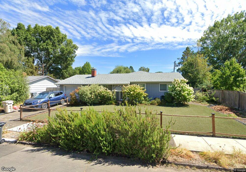
1811 NW Menlo Dr Corvallis, OR 97330
Northwest Corvallis NeighborhoodEstimated Value: $448,000 - $482,000
3
Beds
1
Bath
960
Sq Ft
$479/Sq Ft
Est. Value
About This Home
This home is located at 1811 NW Menlo Dr, Corvallis, OR 97330 and is currently estimated at $460,109, approximately $479 per square foot. 1811 NW Menlo Dr is a home located in Benton County with nearby schools including Garfield Elementary School, Linus Pauling Middle School, and Corvallis High School.
Ownership History
Date
Name
Owned For
Owner Type
Purchase Details
Closed on
Dec 14, 2007
Sold by
Lindroth Heidi P
Bought by
Froot Ellen
Current Estimated Value
Purchase Details
Closed on
Jun 3, 2004
Sold by
Sanders Judy L and Rose Keri A
Bought by
Lindroth Heidi P
Home Financials for this Owner
Home Financials are based on the most recent Mortgage that was taken out on this home.
Original Mortgage
$60,000
Interest Rate
1.75%
Mortgage Type
Purchase Money Mortgage
Purchase Details
Closed on
Mar 7, 2003
Sold by
Draper James L
Bought by
Sanders Judy L and Rose Keri A
Home Financials for this Owner
Home Financials are based on the most recent Mortgage that was taken out on this home.
Original Mortgage
$94,800
Interest Rate
4.87%
Create a Home Valuation Report for This Property
The Home Valuation Report is an in-depth analysis detailing your home's value as well as a comparison with similar homes in the area
Home Values in the Area
Average Home Value in this Area
Purchase History
| Date | Buyer | Sale Price | Title Company |
|---|---|---|---|
| Froot Ellen | $228,000 | Lawyers Title Insurance Corp | |
| Lindroth Heidi P | $160,000 | First American Title | |
| Sanders Judy L | $118,500 | Key Title Company |
Source: Public Records
Mortgage History
| Date | Status | Borrower | Loan Amount |
|---|---|---|---|
| Previous Owner | Lindroth Heidi P | $60,000 | |
| Previous Owner | Sanders Judy L | $94,800 | |
| Closed | Sanders Judy L | $23,700 |
Source: Public Records
Tax History Compared to Growth
Tax History
| Year | Tax Paid | Tax Assessment Tax Assessment Total Assessment is a certain percentage of the fair market value that is determined by local assessors to be the total taxable value of land and additions on the property. | Land | Improvement |
|---|---|---|---|---|
| 2024 | $4,340 | $225,926 | -- | -- |
| 2023 | $4,087 | $219,346 | $0 | $0 |
| 2022 | $4,090 | $212,957 | $0 | $0 |
| 2021 | $3,954 | $206,754 | $0 | $0 |
| 2020 | $3,378 | $177,765 | $0 | $0 |
| 2019 | $3,114 | $172,587 | $0 | $0 |
| 2018 | $3,130 | $167,560 | $0 | $0 |
| 2017 | $2,896 | $162,680 | $0 | $0 |
| 2016 | $2,884 | $157,942 | $0 | $0 |
| 2015 | $2,823 | $153,342 | $0 | $0 |
| 2014 | $2,750 | $148,876 | $0 | $0 |
| 2012 | -- | $140,330 | $0 | $0 |
Source: Public Records
Map
Nearby Homes
- 1925 NW 14th St
- 1524 NW Forestgreen Ave
- 1615 NW Arthur Cir
- 1583 NW Forestgreen Ave
- 2125 NW Highland Dr
- 1720 NW Division St
- 1430 NW 15th St
- 2040 NW 23rd St
- 2054 NW Victory Ave
- 2044 NW Victory Ave
- 2034 NW Victory Ave
- 2024 NW Victory Ave
- 1355 NW 11th St
- 1225 NW 18th St
- 2911 NW 13th Place
- 1230 NW 23rd St
- 2655 NW Highland (#99) Dr Unit 99
- 2655 NW Highland (#13) Dr Unit 13
- 2941 NW Elmwood Dr
- Lot 2 - 3004 Place
- 1827 NW Menlo Dr
- 1515 NW Cleveland Ave
- 1814 NW Garryanna St
- 1505 NW Cleveland Ave
- 1820 NW Garryanna St
- 1835 NW Menlo Dr
- 1810 NW Menlo Dr
- 1820 NW Menlo Dr
- 1607 NW Cleveland Ave
- 1832 NW Garryanna St
- 1775 NW Menlo Dr
- 1845 NW Menlo Dr
- 1830 NW Menlo Dr
- 1758 NW Garryanna St
- 1807 NW Garryanna St
- 1842 NW Garryanna St
- 1817 NW Garryanna St
- 1825 NW 17th St
- 1600 NW Cleveland Ave
- 1615 NW Cleveland Ave