1811 Pheasant Acre Ln W Cordova, TN 38016
Cordova NeighborhoodEstimated Value: $293,000 - $330,000
3
Beds
3
Baths
2,490
Sq Ft
$125/Sq Ft
Est. Value
About This Home
This home is located at 1811 Pheasant Acre Ln W, Cordova, TN 38016 and is currently estimated at $312,004, approximately $125 per square foot. 1811 Pheasant Acre Ln W is a home located in Shelby County with nearby schools including Chimneyrock Elementary School, Cordova High School, and Cordova Middle School.
Ownership History
Date
Name
Owned For
Owner Type
Purchase Details
Closed on
Sep 16, 2024
Sold by
William T Anderson Revocable Living Trus and Anna R Anderson Revocable Living Trust
Bought by
Bellevue Baptist Church
Current Estimated Value
Purchase Details
Closed on
Jul 27, 2023
Sold by
Anderson William T and Anderson Anna R
Bought by
William T Anderson Revocable Living Trust and Anderson
Create a Home Valuation Report for This Property
The Home Valuation Report is an in-depth analysis detailing your home's value as well as a comparison with similar homes in the area
Home Values in the Area
Average Home Value in this Area
Purchase History
| Date | Buyer | Sale Price | Title Company |
|---|---|---|---|
| Bellevue Baptist Church | -- | None Listed On Document | |
| William T Anderson Revocable Living Trust | -- | None Listed On Document |
Source: Public Records
Tax History Compared to Growth
Tax History
| Year | Tax Paid | Tax Assessment Tax Assessment Total Assessment is a certain percentage of the fair market value that is determined by local assessors to be the total taxable value of land and additions on the property. | Land | Improvement |
|---|---|---|---|---|
| 2025 | $1,896 | $82,225 | $14,500 | $67,725 |
| 2024 | $1,896 | $55,925 | $8,750 | $47,175 |
| 2023 | $3,407 | $55,925 | $8,750 | $47,175 |
| 2022 | $3,407 | $55,925 | $8,750 | $47,175 |
| 2021 | $3,447 | $55,925 | $8,750 | $47,175 |
| 2020 | $3,094 | $42,700 | $8,750 | $33,950 |
| 2019 | $3,094 | $42,700 | $8,750 | $33,950 |
| 2018 | $3,094 | $42,700 | $8,750 | $33,950 |
| 2017 | $1,755 | $42,700 | $8,750 | $33,950 |
| 2016 | $1,744 | $39,900 | $0 | $0 |
| 2014 | $1,744 | $39,900 | $0 | $0 |
Source: Public Records
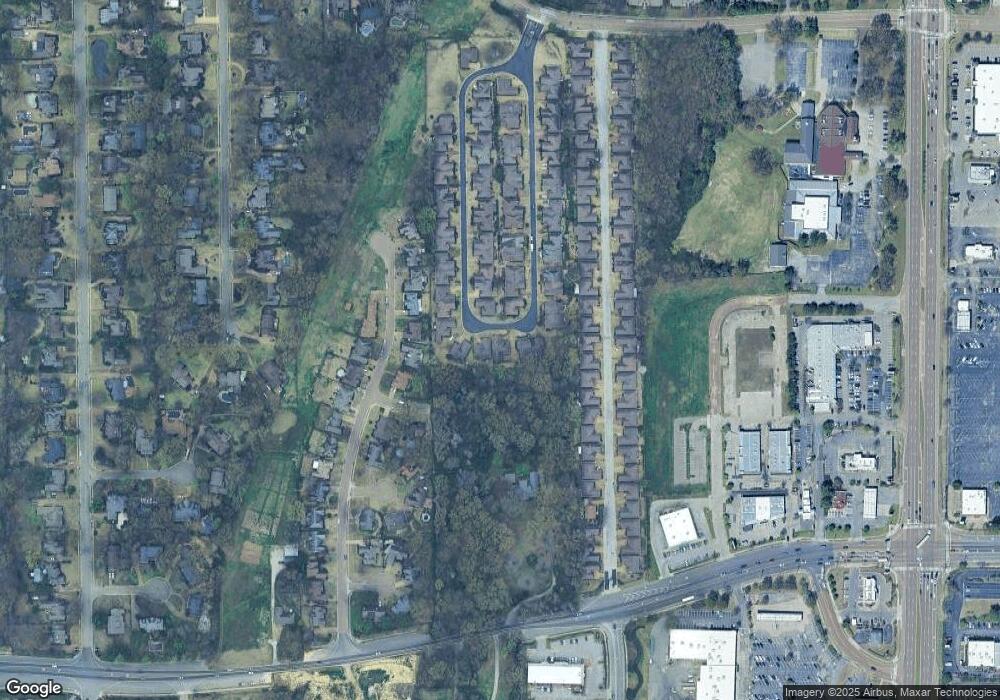
Map
Nearby Homes
- 1840 Woodchase Glen Dr
- 1882 Pheasant Acre Ln E
- 1888 Pheasant Acre Ln E
- 1905 Pheasant Acre Ln E
- 1811 Wood Oak Dr
- 1895 Wood Oak Dr
- 4011 Woodchase Cove
- 2029 Woodchase Cove
- 1618 E Southfield Cir
- 1592 W Southfield Cir Unit 52
- 1655 W Southfield Cir Unit C
- 2065 Steeplebrook Dr
- 7695 Chapel Ridge Dr
- 1707 Old Mill Stream
- 1682 Smokehouse Dr
- 2288 Germantown Dr
- 2000 Westbriar Dr
- 2033 Westbriar Dr
- 1593 Lacewing Trace Ln
- 8314 Mangrove Dr
- 1815 Pheasant Acre Ln W
- 1818 Pheasant Acre Ln E
- 1829 Pheasant Acre Ln E
- 1832 Pheasant Acre Ln W
- 1819 Pheasant Acre Ln W
- 1822 Pheasant Acre Ln E
- 1826 Pheasant Acre Ln E
- 1823 Pheasant Acre Ln W
- 1835 Pheasant Acre Ln E
- 1838 Pheasant Acre Ln W
- 1827 Pheasant Acre Ln W
- 1830 Pheasant Acre Ln E
- 1833 Pheasant Acre Ln W
- 1841 Pheasant Acre Ln E
- 1842 Pheasant Acre Ln W
- 1836 Pheasant Acre Ln E
- 1819 Woodchase Glen Dr
- 1813 Woodchase Glen Dr
- 1825 Woodchase Glen Dr
- 1816 Candle Ridge Cove