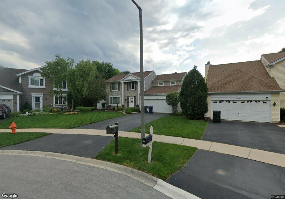
1811 Rampart Ct Naperville, IL 60565
Meadow Glens NeighborhoodEstimated Value: $575,000 - $635,000
--
Bed
1
Bath
2,214
Sq Ft
$267/Sq Ft
Est. Value
About This Home
This home is located at 1811 Rampart Ct, Naperville, IL 60565 and is currently estimated at $591,913, approximately $267 per square foot. 1811 Rampart Ct is a home located in DuPage County with nearby schools including Scott Elementary School, Madison Jr High School, and Naperville Central High School.
Ownership History
Date
Name
Owned For
Owner Type
Purchase Details
Closed on
Nov 2, 1998
Sold by
Freeman Richard A and Freeman Christine
Bought by
Lambrakis Peter J and Clark Lambrakis Patricia A
Current Estimated Value
Home Financials for this Owner
Home Financials are based on the most recent Mortgage that was taken out on this home.
Original Mortgage
$130,000
Outstanding Balance
$28,700
Interest Rate
6.72%
Estimated Equity
$563,213
Create a Home Valuation Report for This Property
The Home Valuation Report is an in-depth analysis detailing your home's value as well as a comparison with similar homes in the area
Home Values in the Area
Average Home Value in this Area
Purchase History
| Date | Buyer | Sale Price | Title Company |
|---|---|---|---|
| Lambrakis Peter J | $215,000 | -- |
Source: Public Records
Mortgage History
| Date | Status | Borrower | Loan Amount |
|---|---|---|---|
| Open | Lambrakis Peter J | $130,000 |
Source: Public Records
Tax History Compared to Growth
Tax History
| Year | Tax Paid | Tax Assessment Tax Assessment Total Assessment is a certain percentage of the fair market value that is determined by local assessors to be the total taxable value of land and additions on the property. | Land | Improvement |
|---|---|---|---|---|
| 2024 | $9,950 | $170,414 | $69,193 | $101,221 |
| 2023 | $9,586 | $155,530 | $63,150 | $92,380 |
| 2022 | $8,762 | $141,390 | $57,410 | $83,980 |
| 2021 | $8,441 | $136,040 | $55,240 | $80,800 |
| 2020 | $8,261 | $133,600 | $54,250 | $79,350 |
| 2019 | $8,018 | $127,820 | $51,900 | $75,920 |
| 2018 | $7,855 | $125,310 | $50,880 | $74,430 |
| 2017 | $7,696 | $121,080 | $49,160 | $71,920 |
| 2016 | $7,540 | $116,700 | $47,380 | $69,320 |
| 2015 | $7,490 | $109,900 | $44,620 | $65,280 |
| 2014 | $7,198 | $102,710 | $41,700 | $61,010 |
| 2013 | $7,091 | $102,960 | $41,800 | $61,160 |
Source: Public Records
Map
Nearby Homes
- 517 Sheffield Rd
- 621 Bourbon Ct
- 431 Orleans Ave
- 456 Timber Trail Ct
- 158 E Bailey Rd Unit F
- 144 E Bailey Rd Unit L
- 138 E Bailey Rd Unit M
- 128 E Bailey Rd Unit G
- 302 Carriage Hill Rd
- 1751 S Washington St Unit 1
- 1721 S Washington St Unit 1721
- 336 Brooklea Ct
- 816 Spindletree Ave
- 1449 Whitespire Ct Unit 5104
- 805 Potomac Ave
- 1717 Drake Ct
- 705 Potomac Ave
- 1323 Auburn Ave
- 1340 Auburn Ave
- 1921 Wisteria Ct Unit 3
- 1807 Rampart Ct
- 1815 Rampart Ct
- 460 Bourbon Ln
- 464 Bourbon Ln
- 1803 Rampart Ct
- 1819 Rampart Ct
- 468 Bourbon Ln
- 456 Bourbon Ln
- 472 Bourbon Ln
- 1820 Rampart Ct
- 1816 Rampart Ct
- 1812 Rampart Ct
- 1808 Rampart Ct
- 555 Stanhope Ct
- 452 Bourbon Ln
- 1804 Rampart Ct
- 549 Stanhope Ct
- 527 Sheffield Rd
- 507 Ursuline Ave
- 561 Stanhope Ct