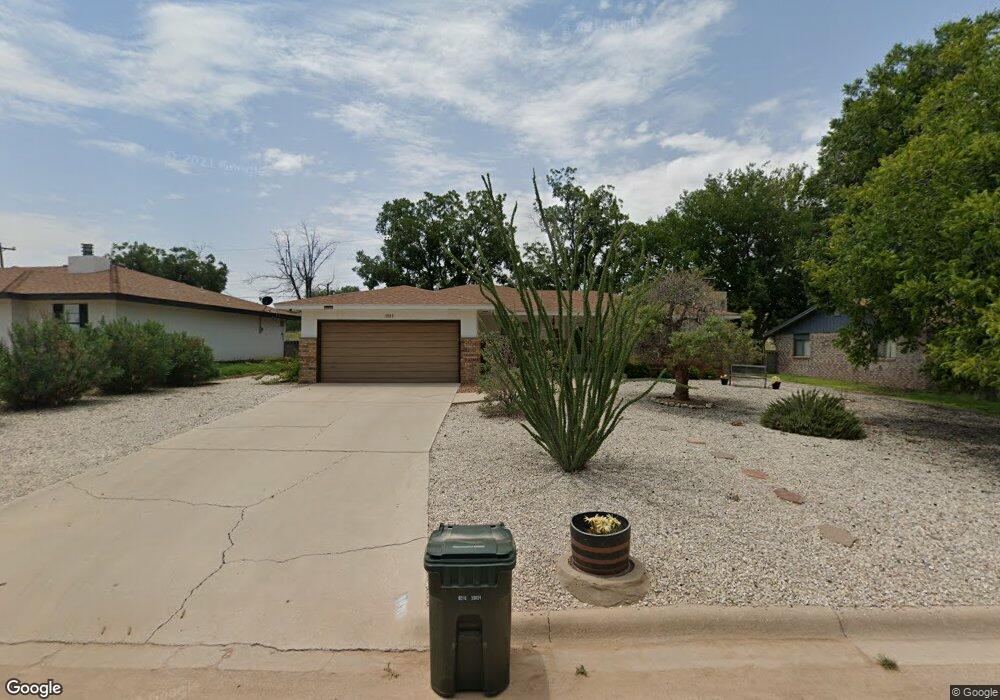
1811 Westridge Rd Carlsbad, NM 88220
Estimated Value: $270,000 - $327,000
--
Bed
--
Bath
1,498
Sq Ft
$194/Sq Ft
Est. Value
About This Home
This home is located at 1811 Westridge Rd, Carlsbad, NM 88220 and is currently estimated at $290,266, approximately $193 per square foot. 1811 Westridge Rd is a home located in Eddy County with nearby schools including Sunset Elementary School, Carlsbad Intermediate School - PR Leyva Campus, and Carlsbad High School.
Ownership History
Date
Name
Owned For
Owner Type
Purchase Details
Closed on
Jul 14, 2022
Sold by
Crouch Coby J and Crouch Misti R
Bought by
Hardy Mason Chandler
Current Estimated Value
Home Financials for this Owner
Home Financials are based on the most recent Mortgage that was taken out on this home.
Original Mortgage
$192,000
Outstanding Balance
$182,666
Interest Rate
5.09%
Mortgage Type
New Conventional
Estimated Equity
$107,600
Purchase Details
Closed on
Jul 31, 2007
Sold by
Klein Mark W and Klein Lena F
Bought by
Crouch Coby and Crouch Misti
Home Financials for this Owner
Home Financials are based on the most recent Mortgage that was taken out on this home.
Original Mortgage
$135,200
Interest Rate
6.73%
Mortgage Type
New Conventional
Create a Home Valuation Report for This Property
The Home Valuation Report is an in-depth analysis detailing your home's value as well as a comparison with similar homes in the area
Home Values in the Area
Average Home Value in this Area
Purchase History
| Date | Buyer | Sale Price | Title Company |
|---|---|---|---|
| Hardy Mason Chandler | -- | None Listed On Document | |
| Crouch Coby | -- | Guaranty Title Co |
Source: Public Records
Mortgage History
| Date | Status | Borrower | Loan Amount |
|---|---|---|---|
| Open | Hardy Mason Chandler | $192,000 | |
| Previous Owner | Crouch Coby | $135,200 |
Source: Public Records
Tax History Compared to Growth
Tax History
| Year | Tax Paid | Tax Assessment Tax Assessment Total Assessment is a certain percentage of the fair market value that is determined by local assessors to be the total taxable value of land and additions on the property. | Land | Improvement |
|---|---|---|---|---|
| 2025 | $1,917 | $81,425 | $6,989 | $74,436 |
| 2024 | $1,917 | $79,053 | $6,989 | $72,064 |
| 2023 | $1,917 | $79,872 | $6,989 | $72,883 |
| 2022 | $1,551 | $64,809 | $6,989 | $57,820 |
| 2021 | $1,545 | $64,809 | $6,989 | $57,820 |
| 2020 | $1,564 | $64,809 | $6,989 | $57,820 |
| 2019 | $1,597 | $64,809 | $6,989 | $57,820 |
| 2018 | $1,589 | $64,809 | $6,989 | $57,820 |
| 2017 | $1,628 | $66,784 | $7,230 | $59,554 |
Source: Public Records
Map
Nearby Homes
- 1612 W Thomas St
- 1311 Westridge Rd
- 2200 W Pierce #4 St
- 2200 W Pierce #5c St
- 2112 Westridge Rd
- 2116 Westridge Rd
- 1303 Chico St
- 1403 S Country Club Cir
- 1305 S Country Club Cir
- 2402 Legion St
- 1812 Manzana Rd
- 2403 Western Way
- 1207 W Riverside Dr
- 1505 Grant St
- 1203 S Country Club Cir
- 1019 Birch Ln
- 1017 Walter St
- 1308 Gamma Ave
- 920 Valverde St
- 1515 Bryan Cir
- 1809 Westridge Rd
- 1813 Westridge Rd
- 1611 Landsun Dr
- 1815 Westridge Rd
- 1609 Landsun Dr
- 1807 Westridge Rd
- 1805 Westridge Rd
- 1607 Landsun Dr
- 1610 W Thomas St
- 1611 W Thomas St
- 1803 Westridge Rd
- 1801 Westridge Rd
- 1605 Landsun Dr
- 1608 W Thomas St
- 1609 W Thomas St
- 1603 Landsun Dr
- 1612 W Ural Dr
- 1607 W Thomas St
- 1711 Westridge Rd
- 1610 W Ural Dr