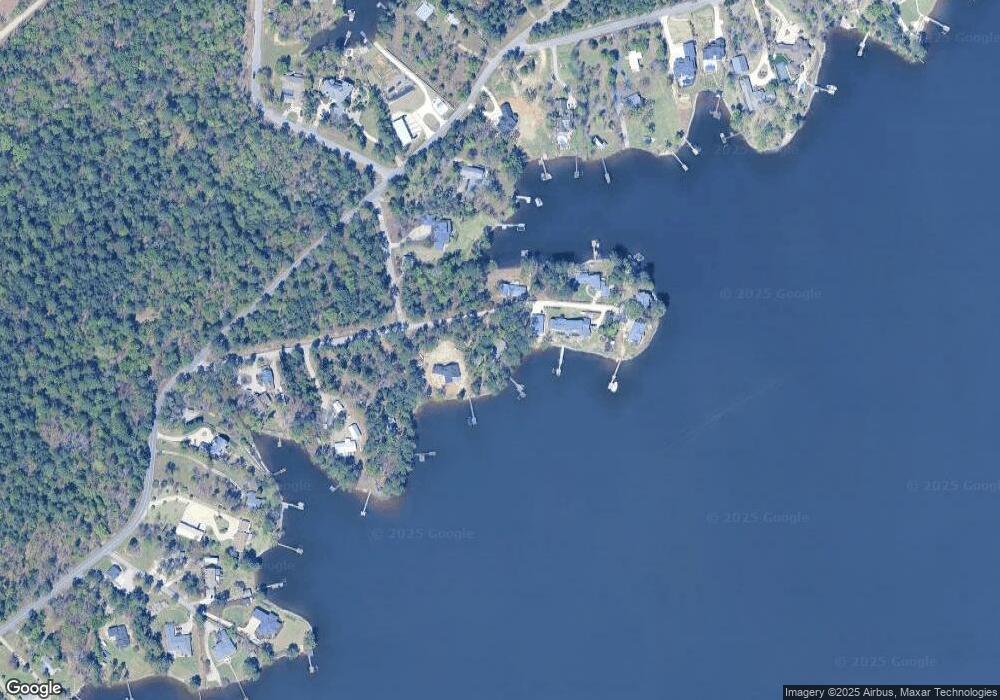
1812 Harmon St Gilbert, SC 29054
Estimated Value: $653,440 - $966,000
3
Beds
2
Baths
1,568
Sq Ft
$479/Sq Ft
Est. Value
About This Home
This home is located at 1812 Harmon St, Gilbert, SC 29054 and is currently estimated at $751,110, approximately $479 per square foot. 1812 Harmon St is a home with nearby schools including Centerville Elementary School, Gilbert Primary School, and Gilbert Middle School.
Ownership History
Date
Name
Owned For
Owner Type
Purchase Details
Closed on
May 5, 2020
Sold by
King George Shields
Bought by
King George Shields and Ing Beatrice Delucy
Current Estimated Value
Purchase Details
Closed on
Mar 9, 2015
Sold by
King Carolyn June
Bought by
Rettig Jesse E and Rettig Kathryn A
Purchase Details
Closed on
Sep 16, 2014
Sold by
King Carolyn J
Bought by
King George Shields and King Carolyn June
Purchase Details
Closed on
May 6, 1999
Sold by
Frick Elmer F
Bought by
King Carolyn J
Create a Home Valuation Report for This Property
The Home Valuation Report is an in-depth analysis detailing your home's value as well as a comparison with similar homes in the area
Home Values in the Area
Average Home Value in this Area
Purchase History
| Date | Buyer | Sale Price | Title Company |
|---|---|---|---|
| King George Shields | -- | None Available | |
| King George Shields | -- | None Available | |
| Rettig Jesse E | -- | -- | |
| King George Shields | -- | -- | |
| King Carolyn J | $160,000 | -- |
Source: Public Records
Tax History Compared to Growth
Tax History
| Year | Tax Paid | Tax Assessment Tax Assessment Total Assessment is a certain percentage of the fair market value that is determined by local assessors to be the total taxable value of land and additions on the property. | Land | Improvement |
|---|---|---|---|---|
| 2024 | $12,195 | $22,832 | $17,100 | $5,732 |
| 2023 | $11,320 | $22,832 | $17,100 | $5,732 |
| 2022 | $10,887 | $22,832 | $17,100 | $5,732 |
| 2020 | $10,949 | $22,832 | $17,100 | $5,732 |
| 2019 | $1,832 | $14,478 | $10,640 | $3,838 |
| 2018 | $1,800 | $14,478 | $10,640 | $3,838 |
| 2017 | $1,738 | $14,478 | $10,640 | $3,838 |
| 2016 | $1,732 | $14,478 | $10,640 | $3,838 |
| 2014 | $8,555 | $19,673 | $13,634 | $6,039 |
| 2013 | -- | $19,670 | $13,630 | $6,040 |
Source: Public Records
Map
Nearby Homes
- 2110 Shull Ave
- 1464 Bombing Range Rd
- 1633 Barracks Dr
- 1457 Bombing Range Rd
- 1459 Bombing Range Rd
- 1233 Shull Island Rd
- 1223 Shull Island Rd
- 1148 Shull Island Rd
- 1305 Rock Island Rd
- 113 Shull Fork Ct
- 318 Lands End Dr
- 218 Lake Vista Dr
- 157 Collins Cove Dr
- 102 Royal Ct
- 115 Pointe Overlook Dr
- 1152 Indian Summer Point
- 120 Magnolia Key Dr
- 232 Waters Edge Dr
- 404 Jasmine Key Ln
- 131 W Circle Dr
