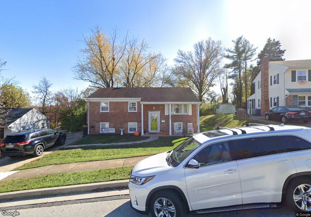
1812 Palo Cir Halethorpe, MD 21227
Estimated Value: $345,276 - $460,000
Studio
3
Baths
1,020
Sq Ft
$393/Sq Ft
Est. Value
About This Home
This home is located at 1812 Palo Cir, Halethorpe, MD 21227 and is currently estimated at $400,819, approximately $392 per square foot. 1812 Palo Cir is a home located in Baltimore County with nearby schools including Relay Elementary School, Arbutus Middle School, and Lansdowne High School.
Ownership History
Date
Name
Owned For
Owner Type
Purchase Details
Closed on
Jun 4, 2015
Sold by
Hofmann Joseph B and Hoffmann John S
Bought by
Dassing Philip S and Dassing Christina M
Current Estimated Value
Home Financials for this Owner
Home Financials are based on the most recent Mortgage that was taken out on this home.
Original Mortgage
$5,000
Outstanding Balance
$3,877
Interest Rate
3.78%
Mortgage Type
Future Advance Clause Open End Mortgage
Estimated Equity
$396,942
Create a Home Valuation Report for This Property
The Home Valuation Report is an in-depth analysis detailing your home's value as well as a comparison with similar homes in the area
Home Values in the Area
Average Home Value in this Area
Purchase History
| Date | Buyer | Sale Price | Title Company |
|---|---|---|---|
| Dassing Philip S | $209,000 | Signature Title & Settlement |
Source: Public Records
Mortgage History
| Date | Status | Borrower | Loan Amount |
|---|---|---|---|
| Open | Dassing Philip S | $5,000 | |
| Open | Dassing Philip S | $205,214 | |
| Closed | Dassing Philip S | $205,214 |
Source: Public Records
Tax History
| Year | Tax Paid | Tax Assessment Tax Assessment Total Assessment is a certain percentage of the fair market value that is determined by local assessors to be the total taxable value of land and additions on the property. | Land | Improvement |
|---|---|---|---|---|
| 2025 | $4,113 | $277,267 | -- | -- |
| 2024 | $4,113 | $253,200 | $68,600 | $184,600 |
| 2023 | $1,987 | $245,600 | $0 | $0 |
| 2022 | $4,004 | $238,000 | $0 | $0 |
| 2021 | $3,802 | $230,400 | $68,600 | $161,800 |
| 2020 | $3,802 | $225,833 | $0 | $0 |
| 2019 | $3,897 | $221,267 | $0 | $0 |
| 2018 | $3,553 | $216,700 | $68,600 | $148,100 |
| 2017 | $3,544 | $209,400 | $0 | $0 |
| 2016 | $2,998 | $202,100 | $0 | $0 |
| 2015 | $2,998 | $194,800 | $0 | $0 |
| 2014 | $2,998 | $194,800 | $0 | $0 |
Source: Public Records
Map
Nearby Homes
- 5816 Richardson Mews Square
- 5729 Richardson Mews Square
- 19 Piedmont Ct
- 12 Piedmont Ct
- 16 W End Ct
- 1110 Francis Ave
- 1817 Centre St
- 1911 Halethorpe Ave
- 1807 Sutton Ave
- 4606 Ridge Ave
- 20 Deer Run Ct Unit F
- 1132 Ingate Rd
- 1816 Fairview Ave
- 1942 Catanna Ave
- 4415 Linden Ave
- 1078 Downton Rd
- 927 Grovehill Rd
- 4304 Spencer St
- 901 Grovehill Rd
- 1027 Downton Rd